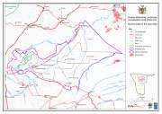
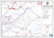
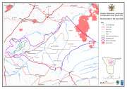
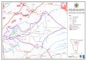
Click on each jpg link below to download the map in jpg format. Click on the zip links at the bottom of the page to download the zipped GIS files; these are usually shapefiles or grid files. Metadata are provided in this metadata file.
» Get source data
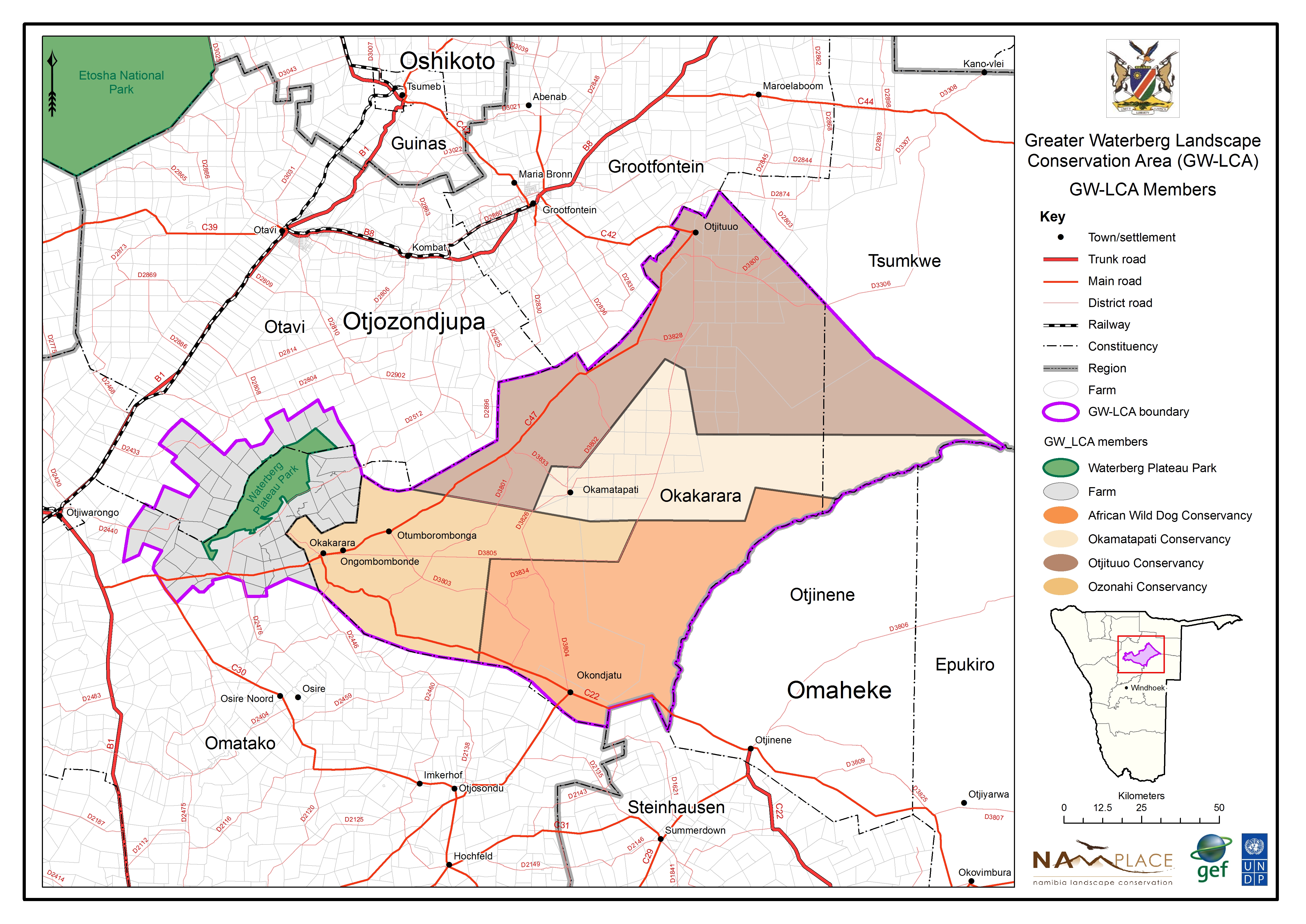
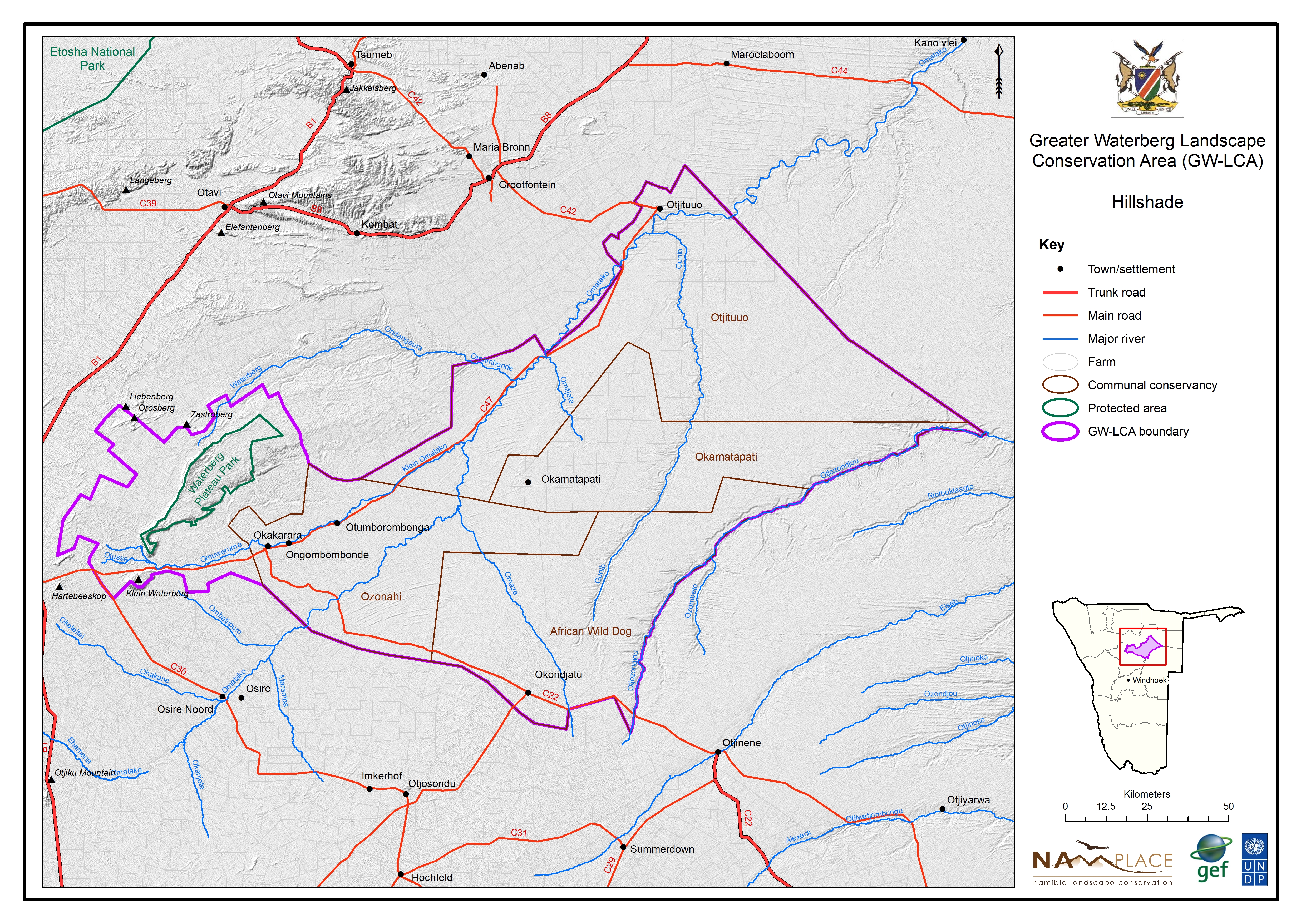
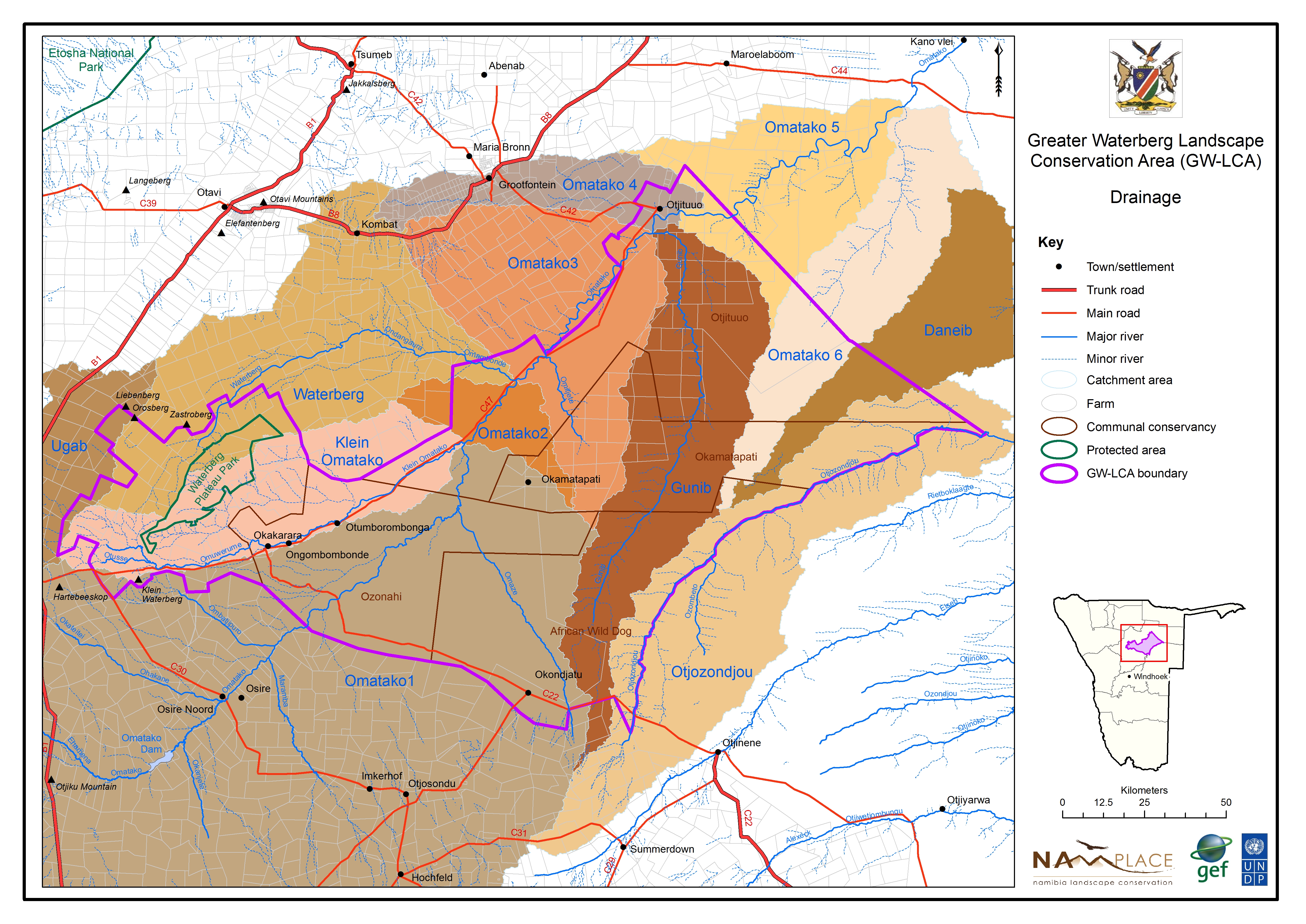
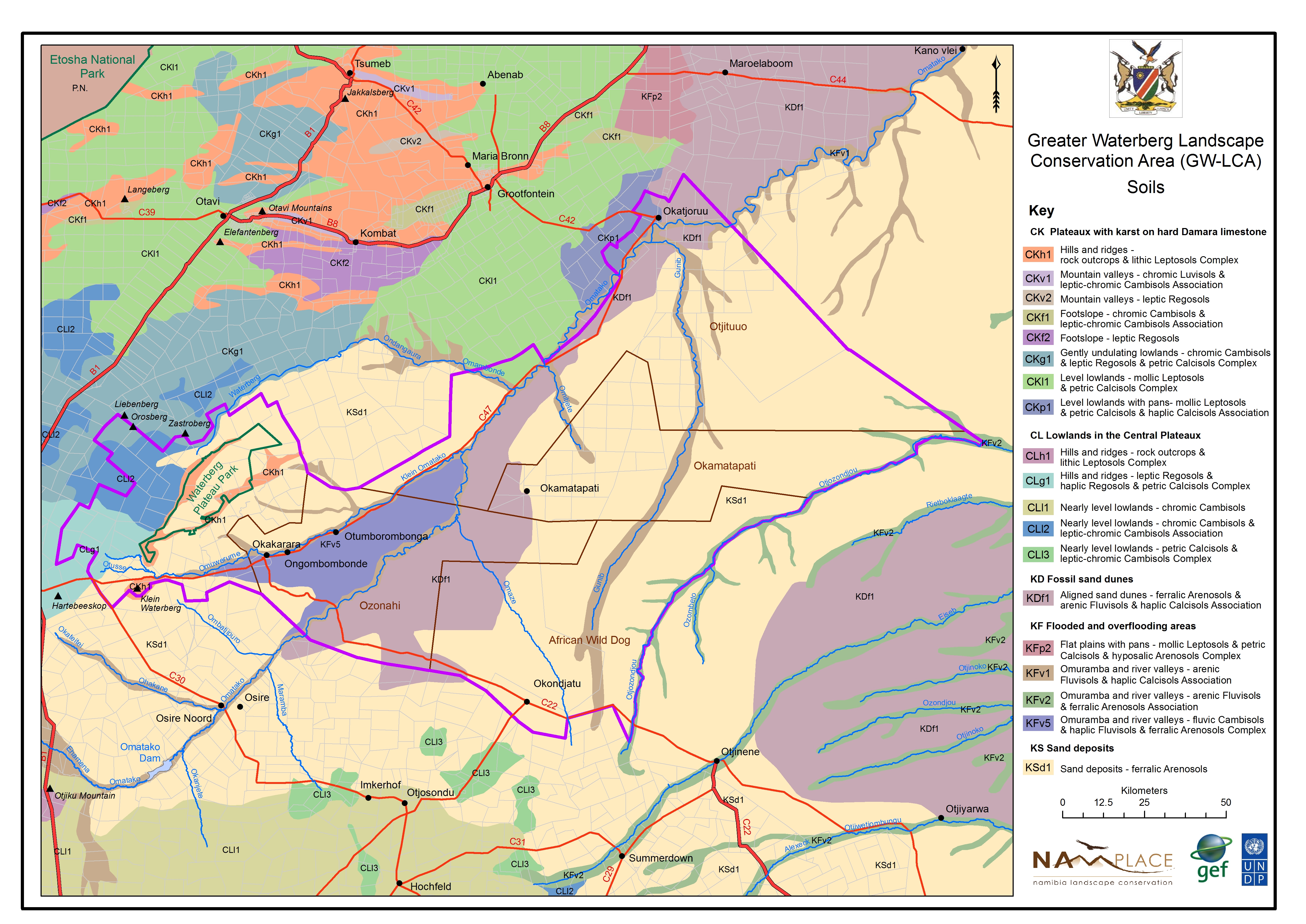
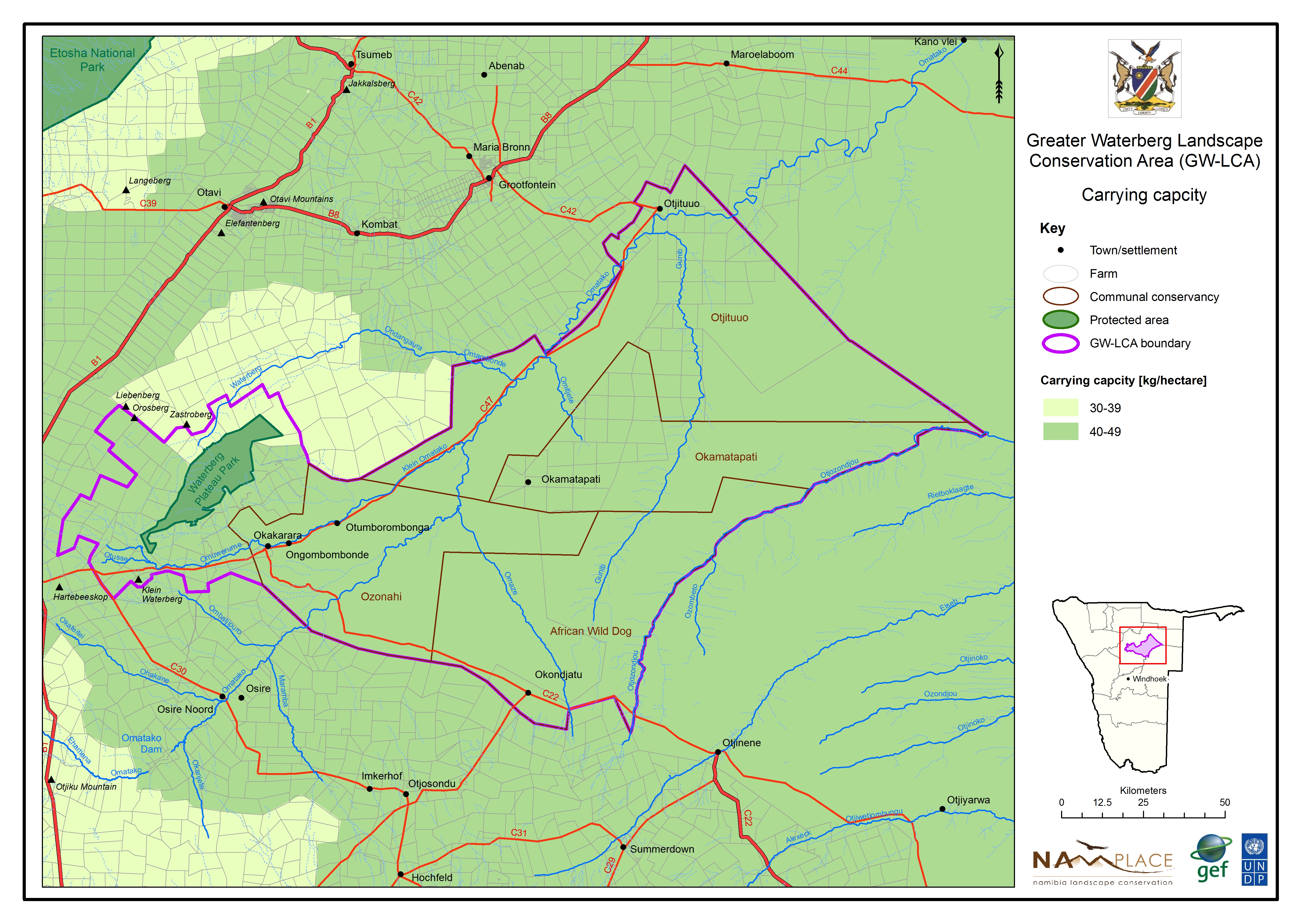
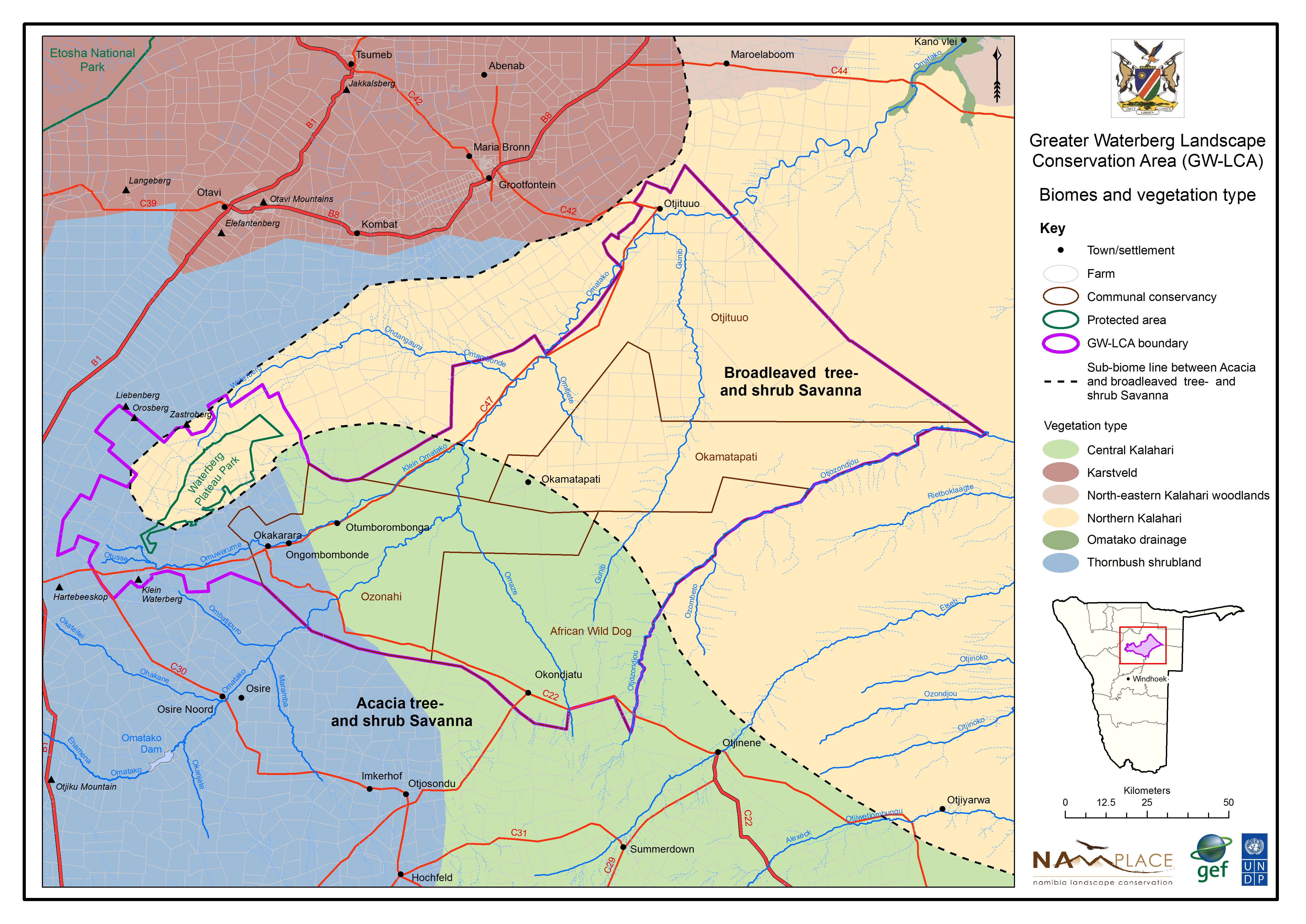
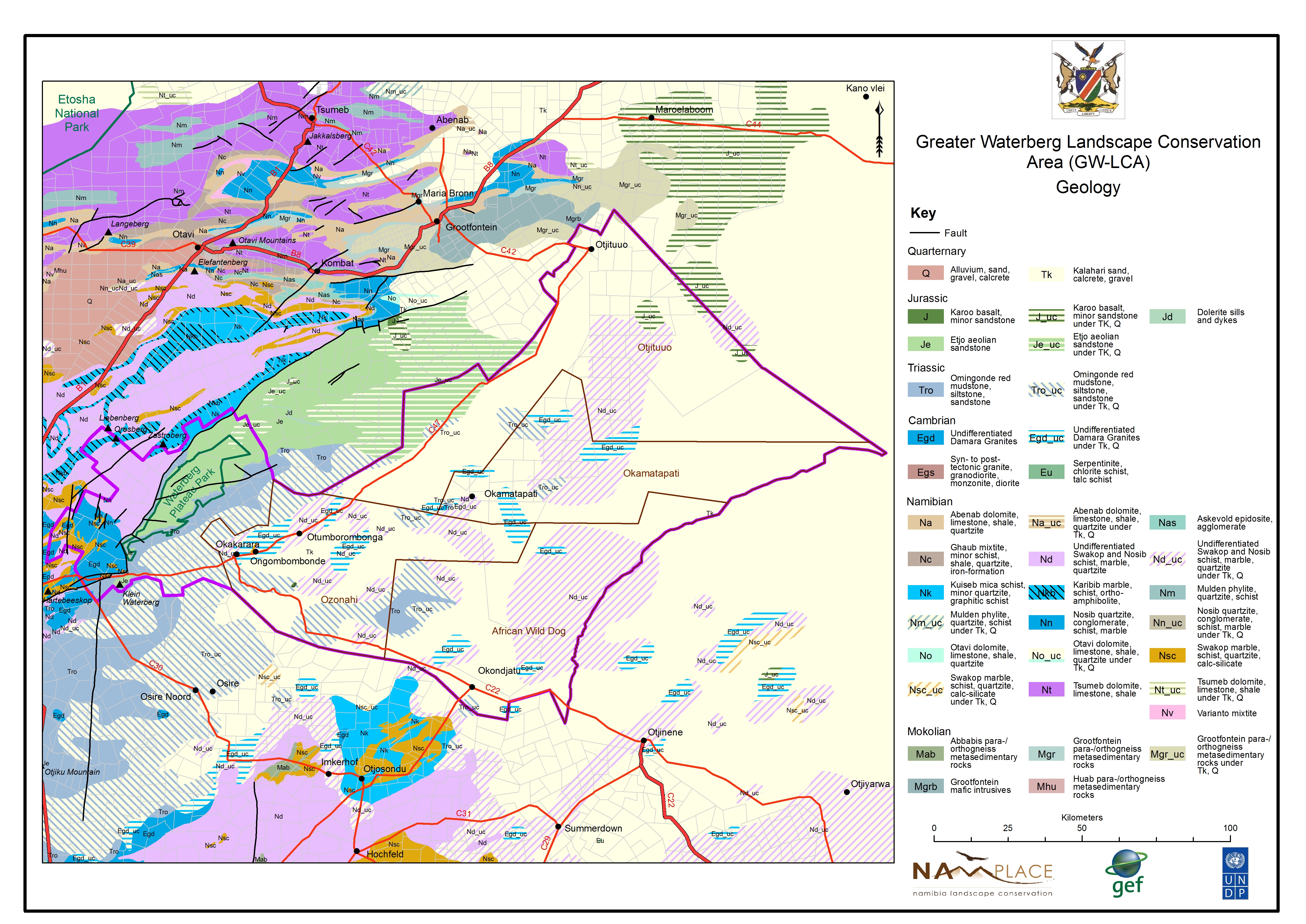
Maps
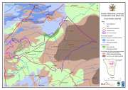
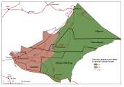
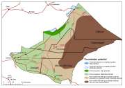
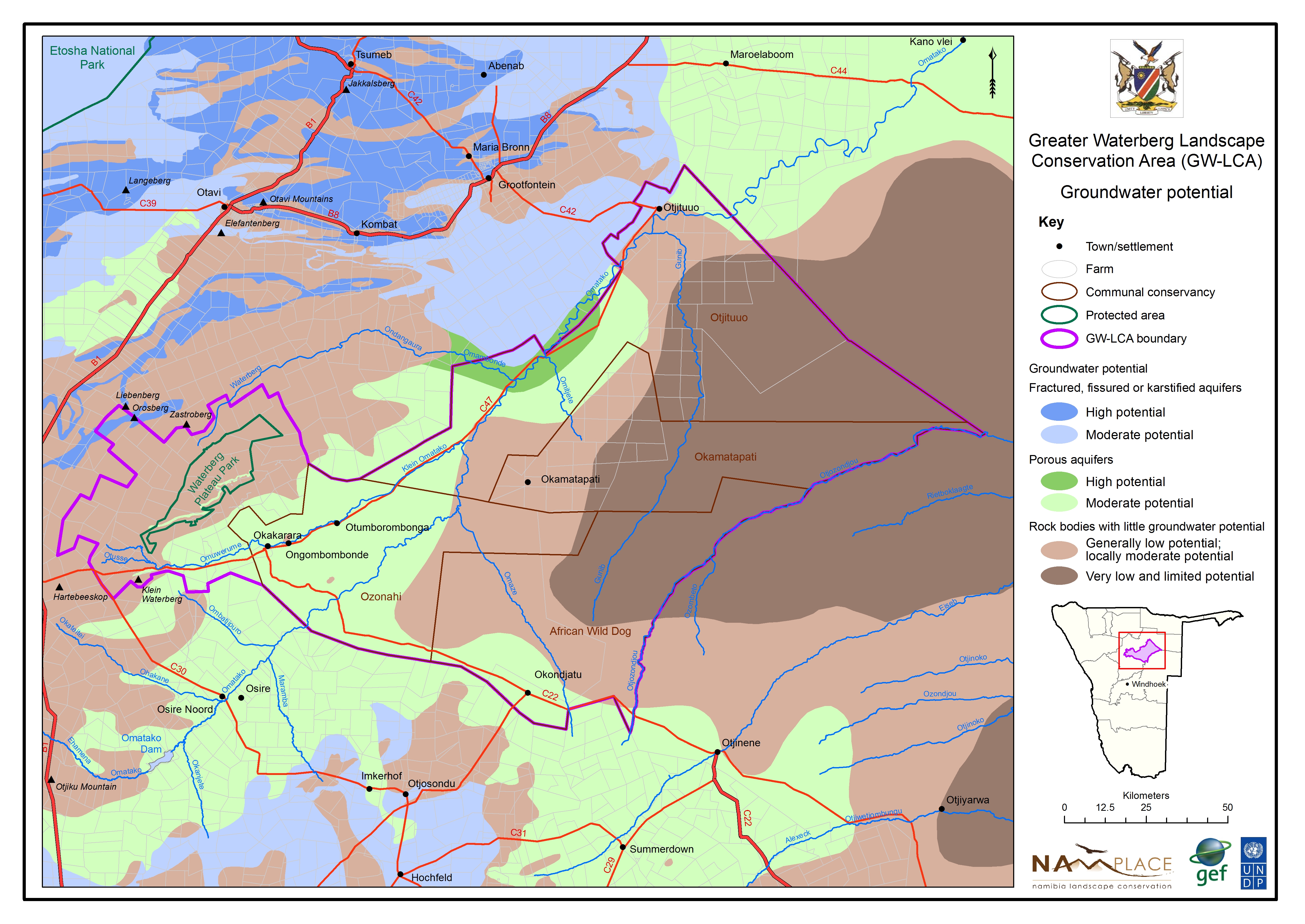
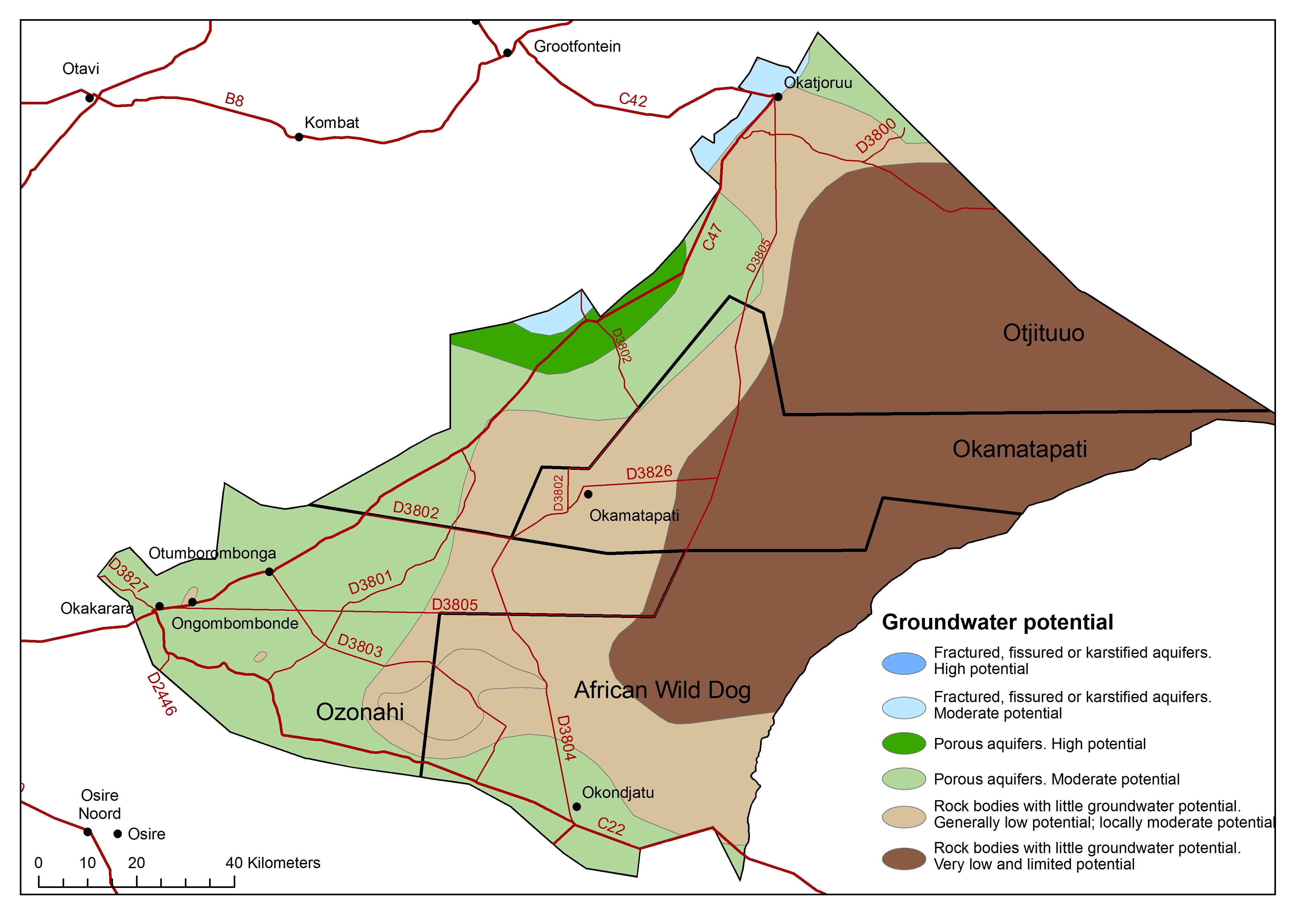
Groundwater potential
» jpg
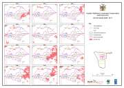
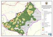
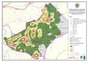
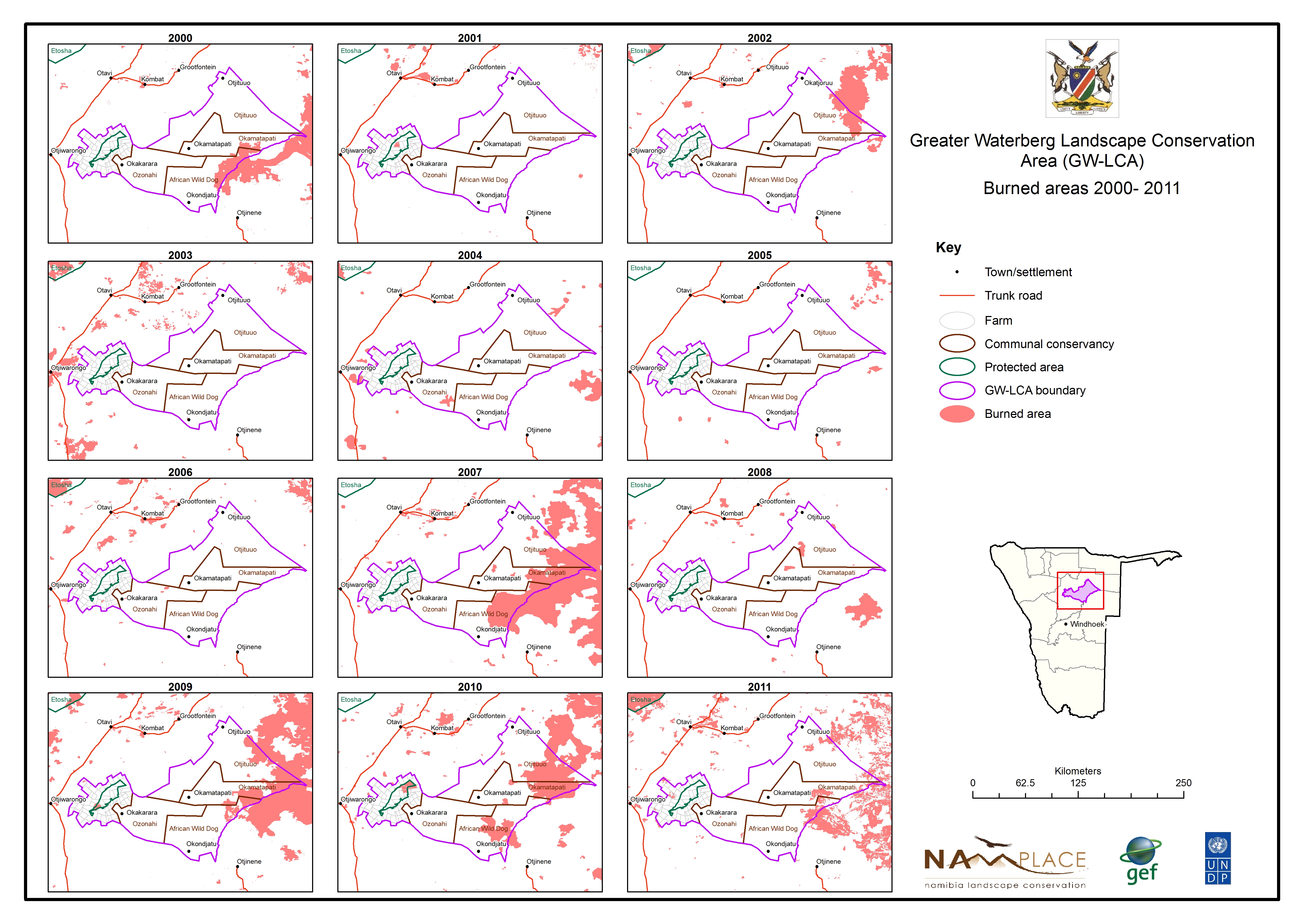
Burned areas 2000 to 2012
» jpg
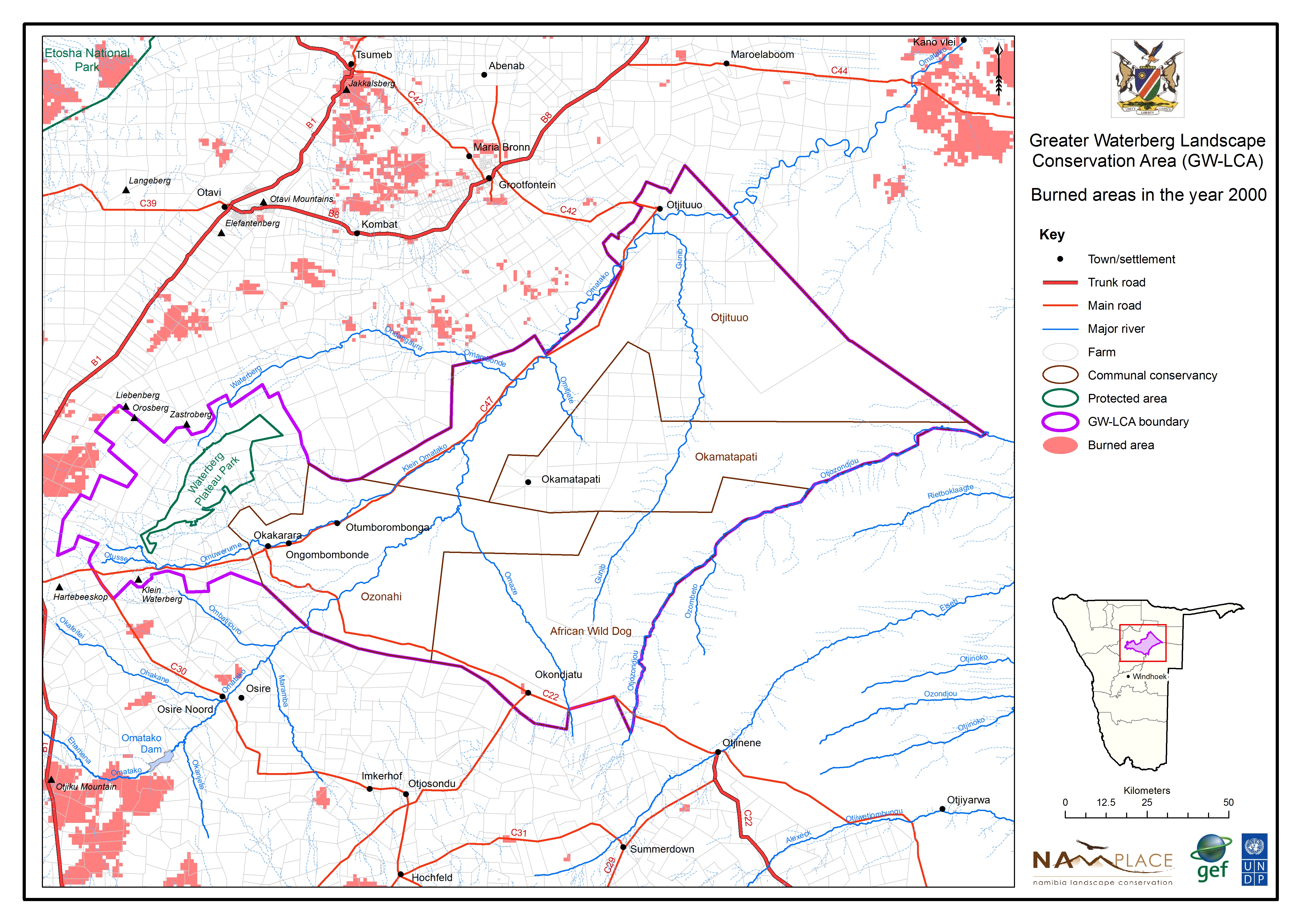
Burned areas in 2000
» jpg
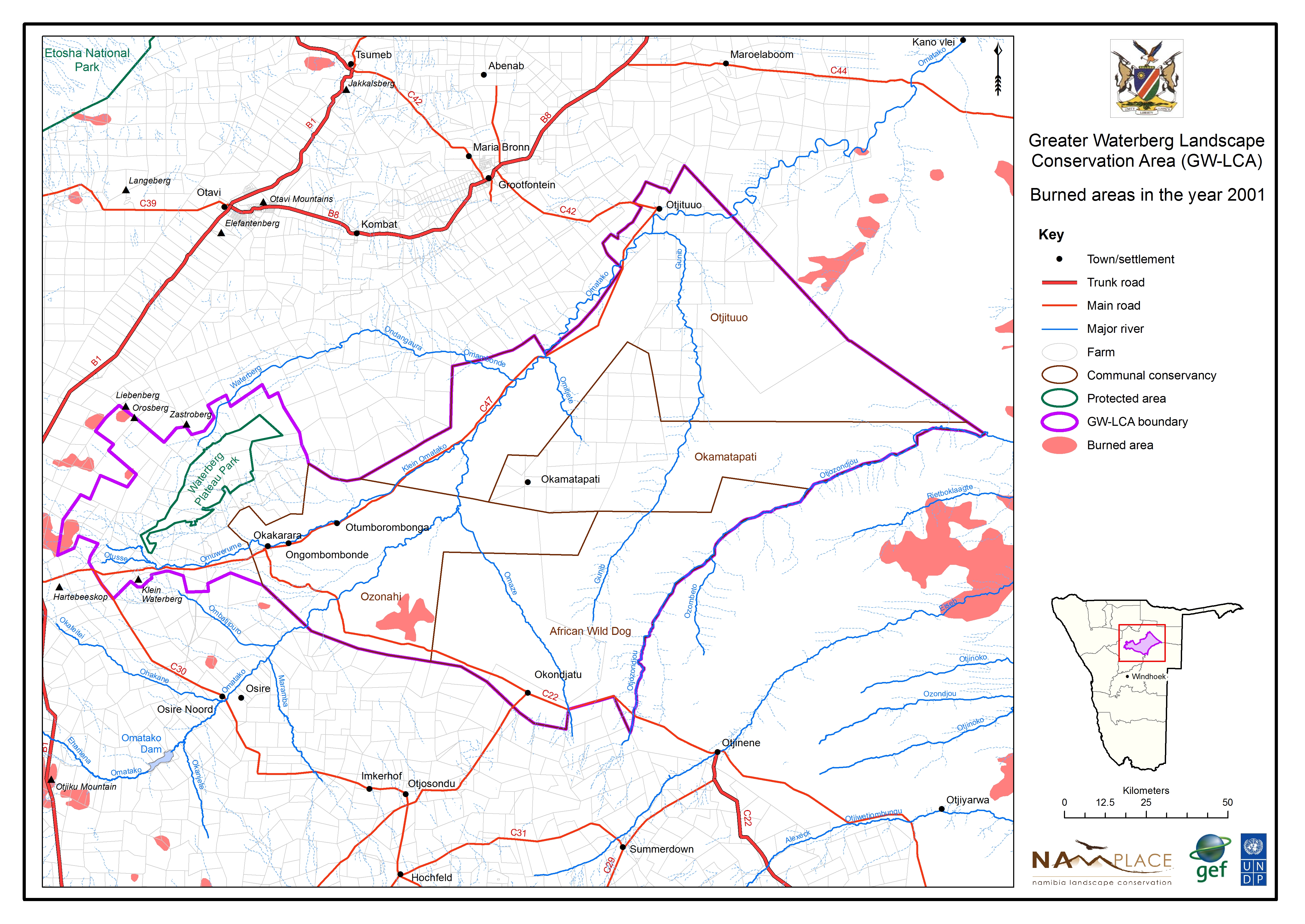
Burned areas in 2001
» jpg
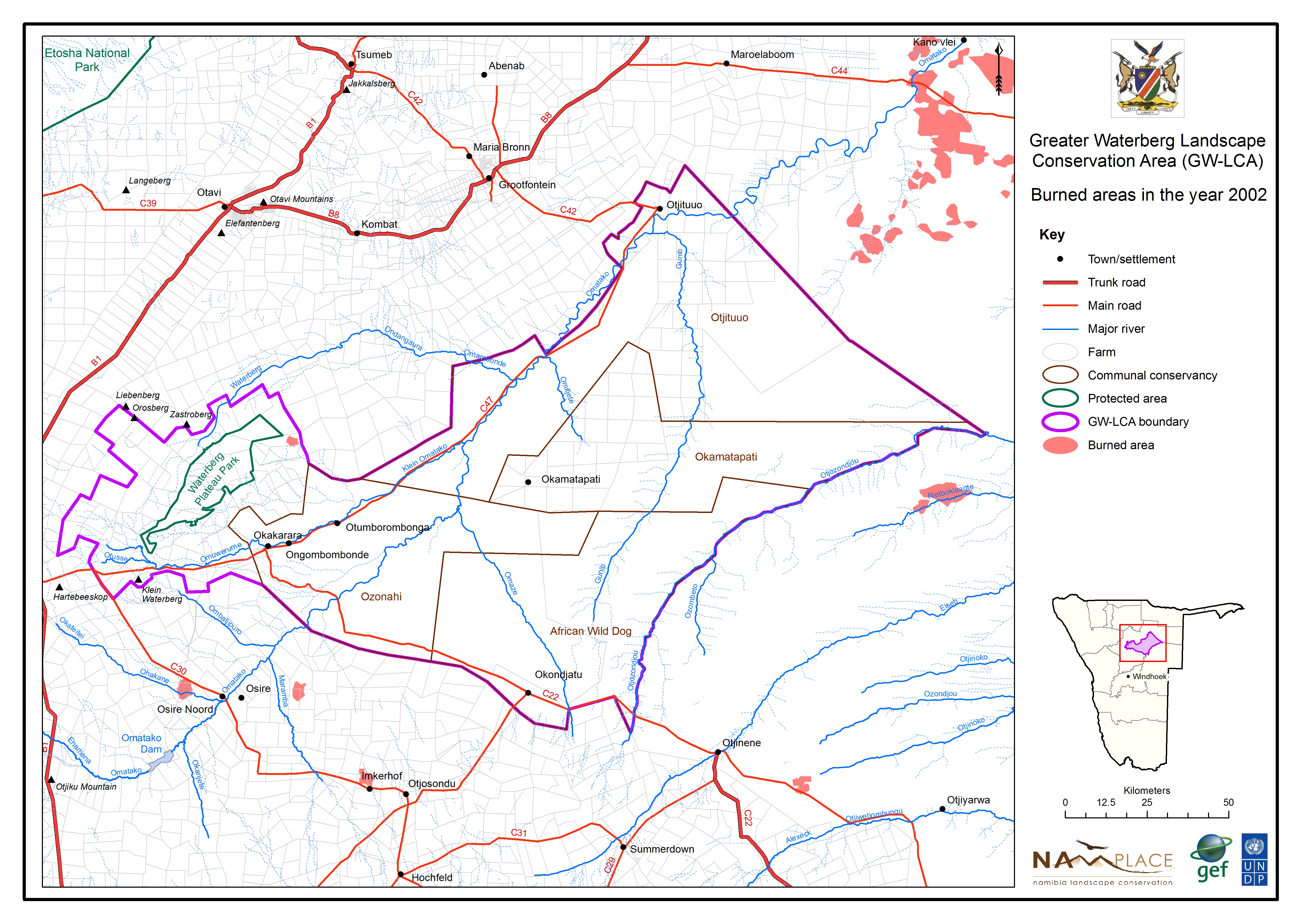
Burned areas in 2002
» jpg

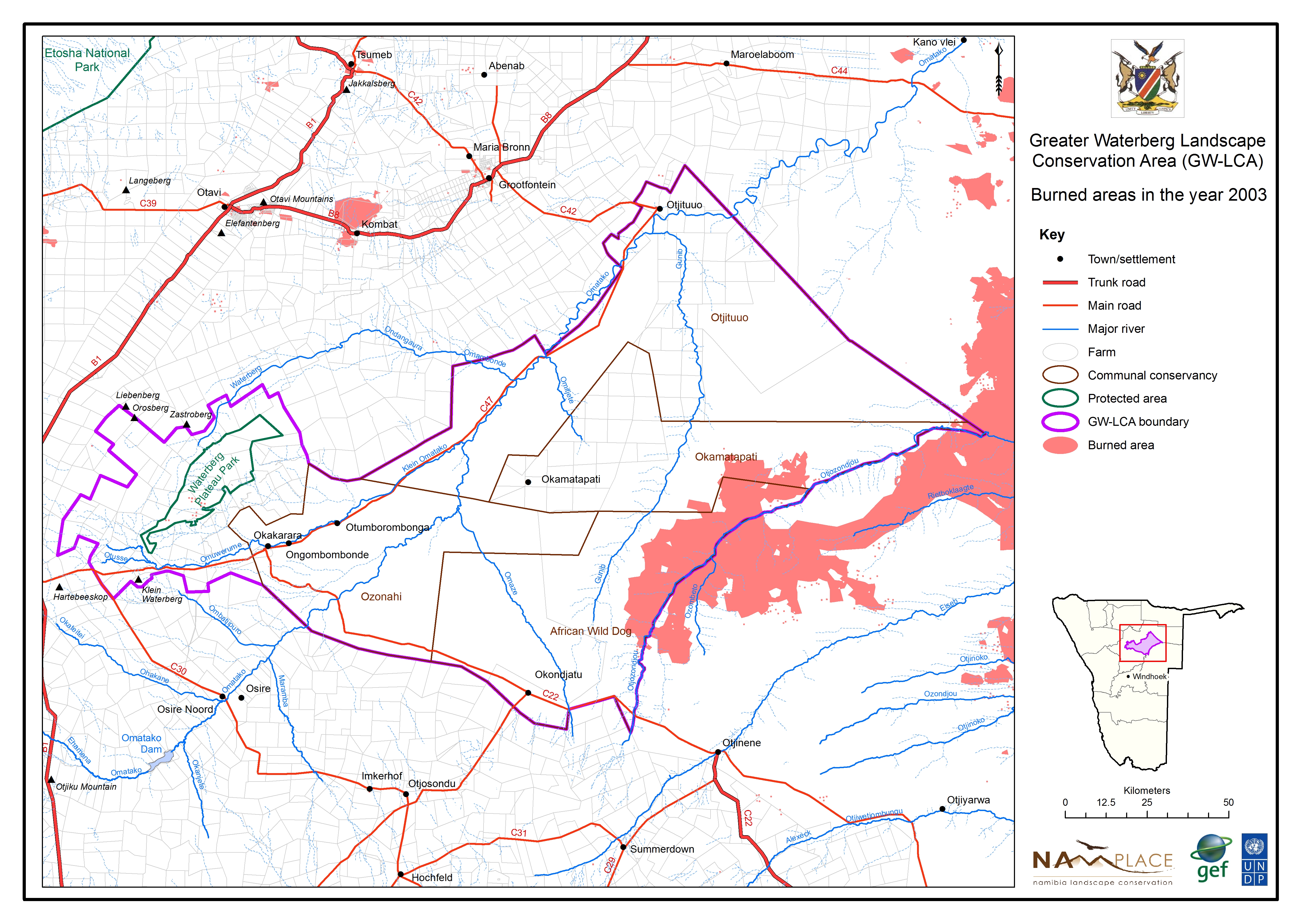
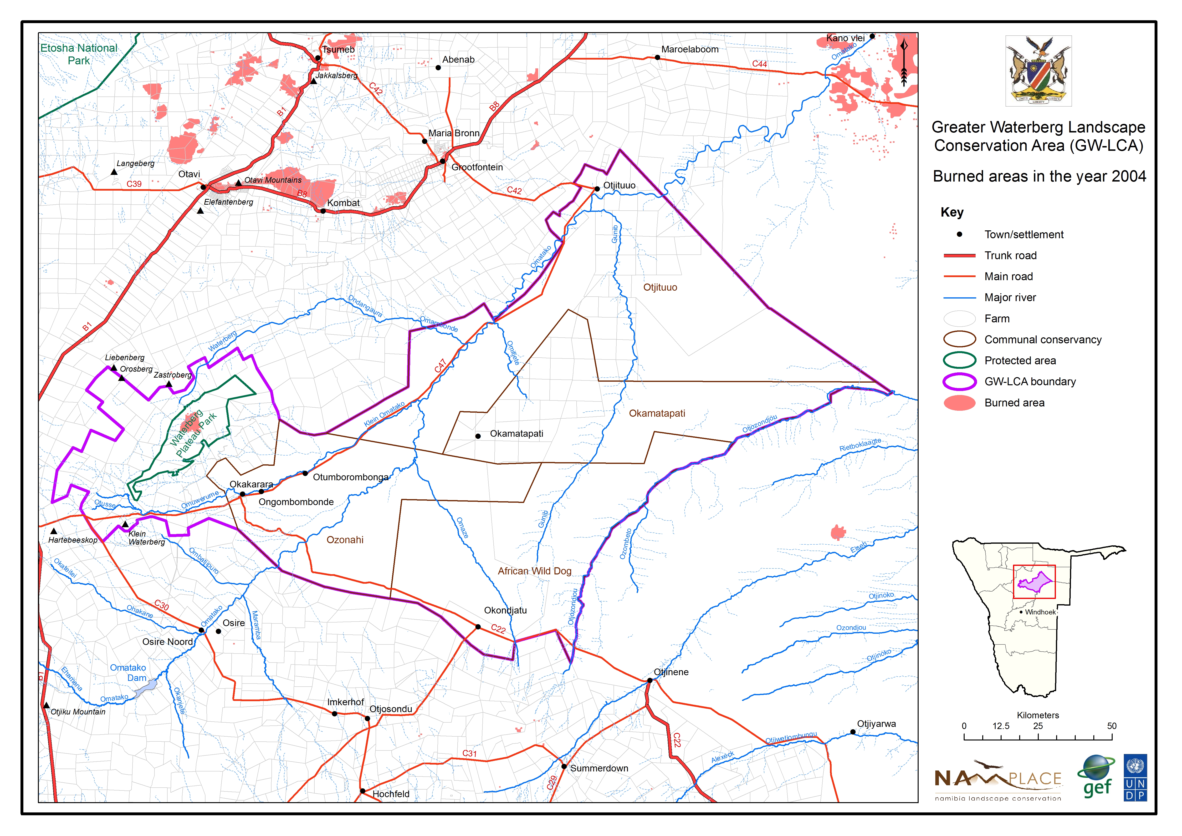
Burned areas in 2003
» jpg
Burned areas in 2004
» jpg
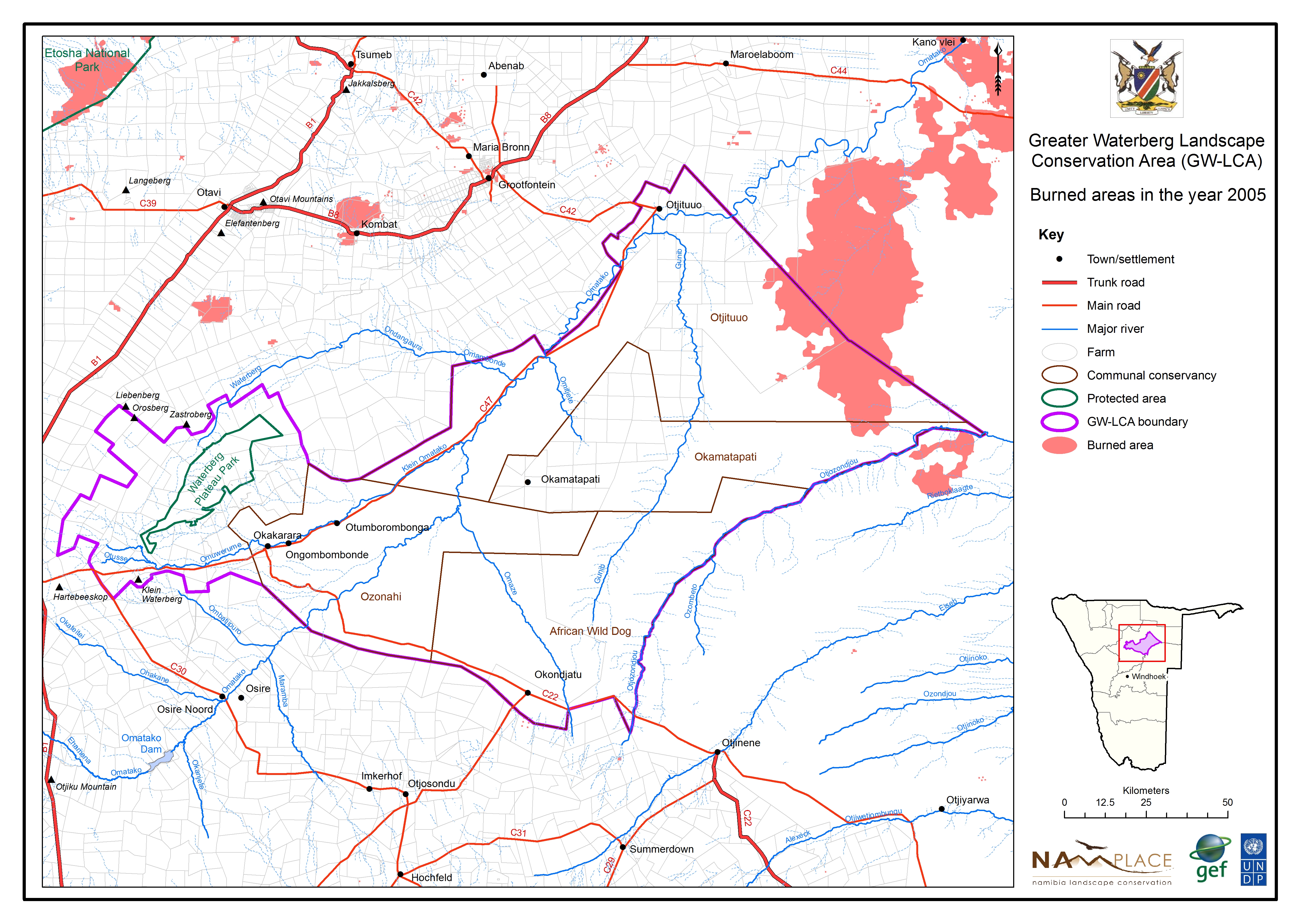
Burned areas in 2005
» jpg
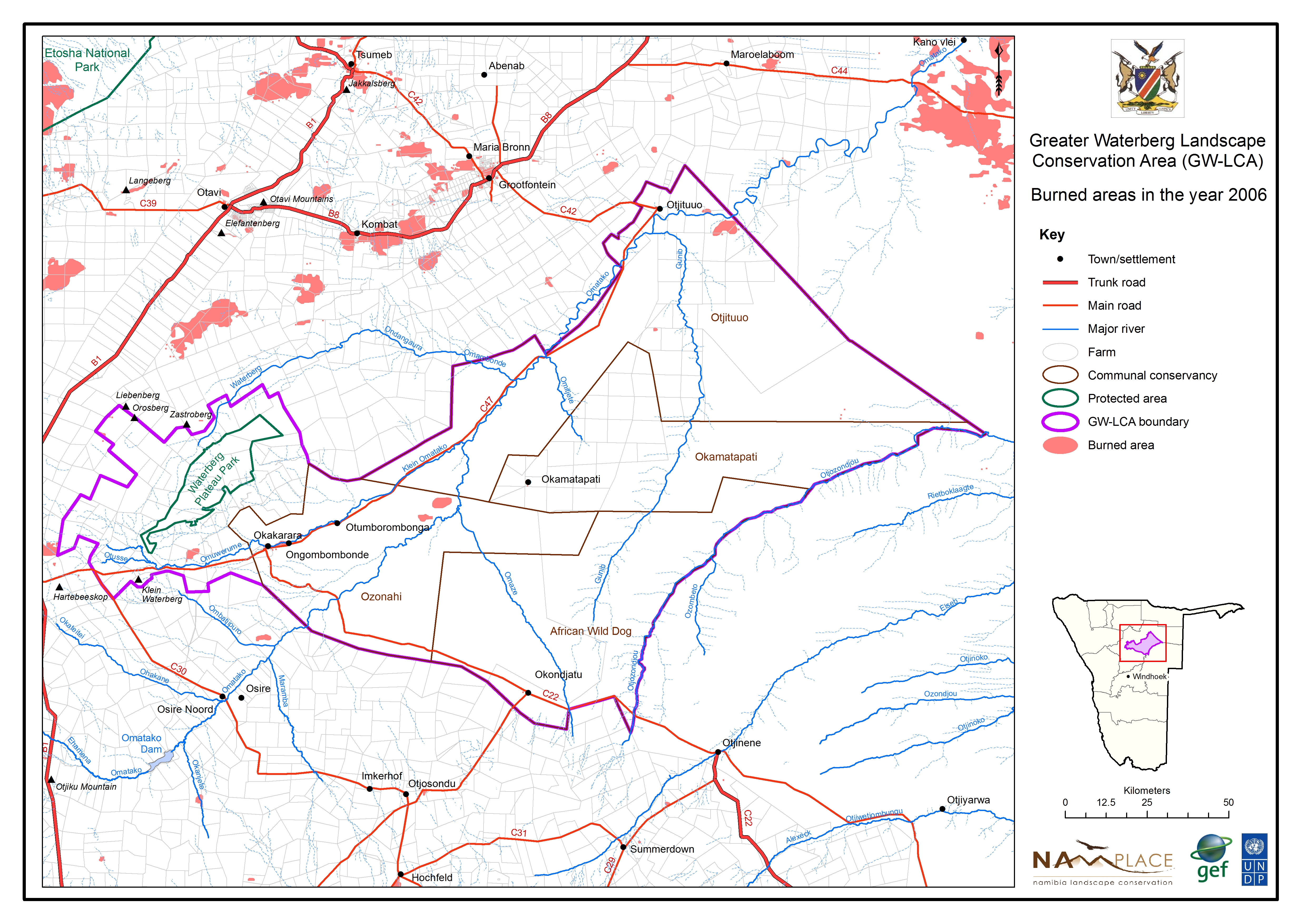
Burned areas in 2006
» jpg

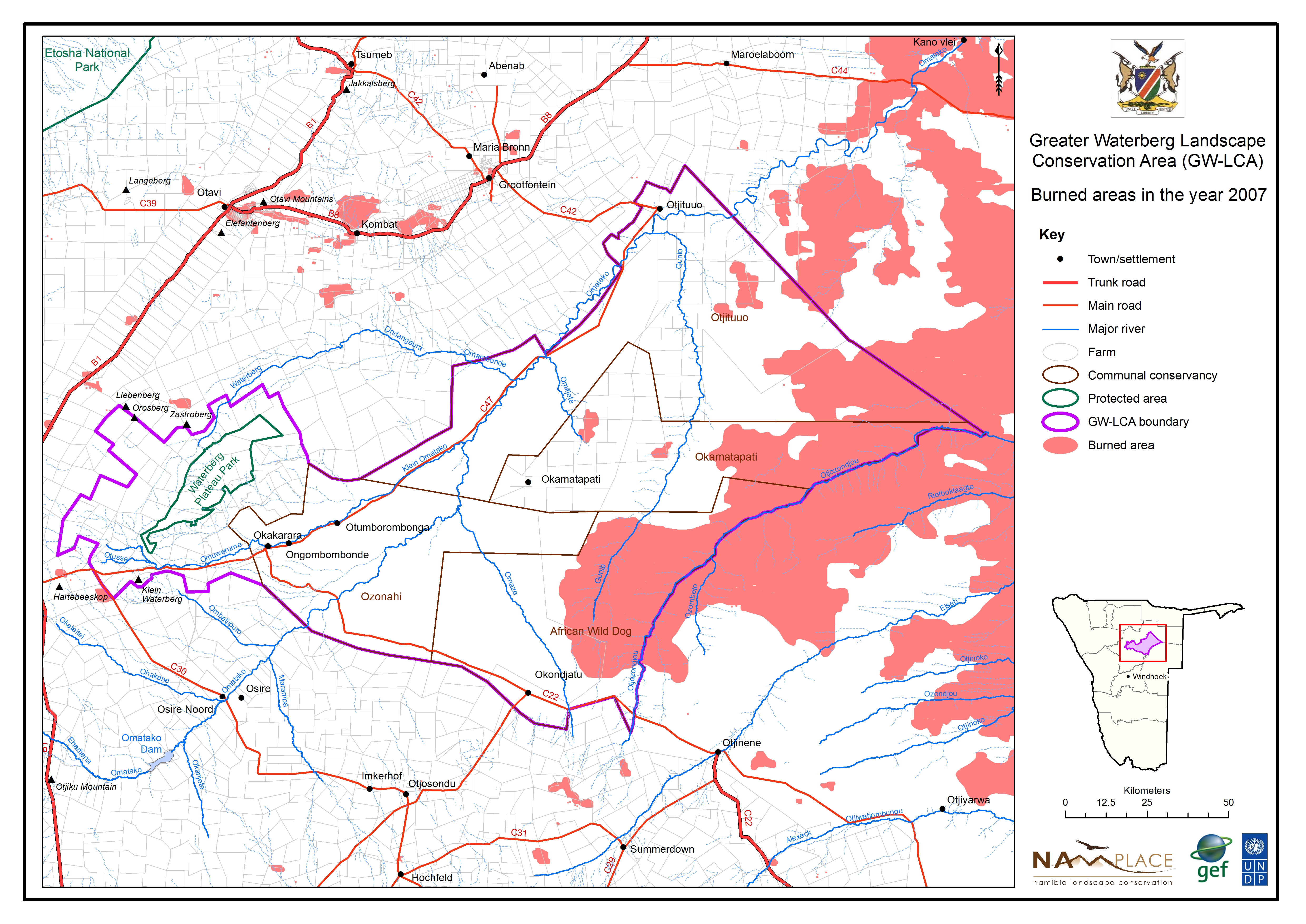
Burned areas in 2007
» jpg
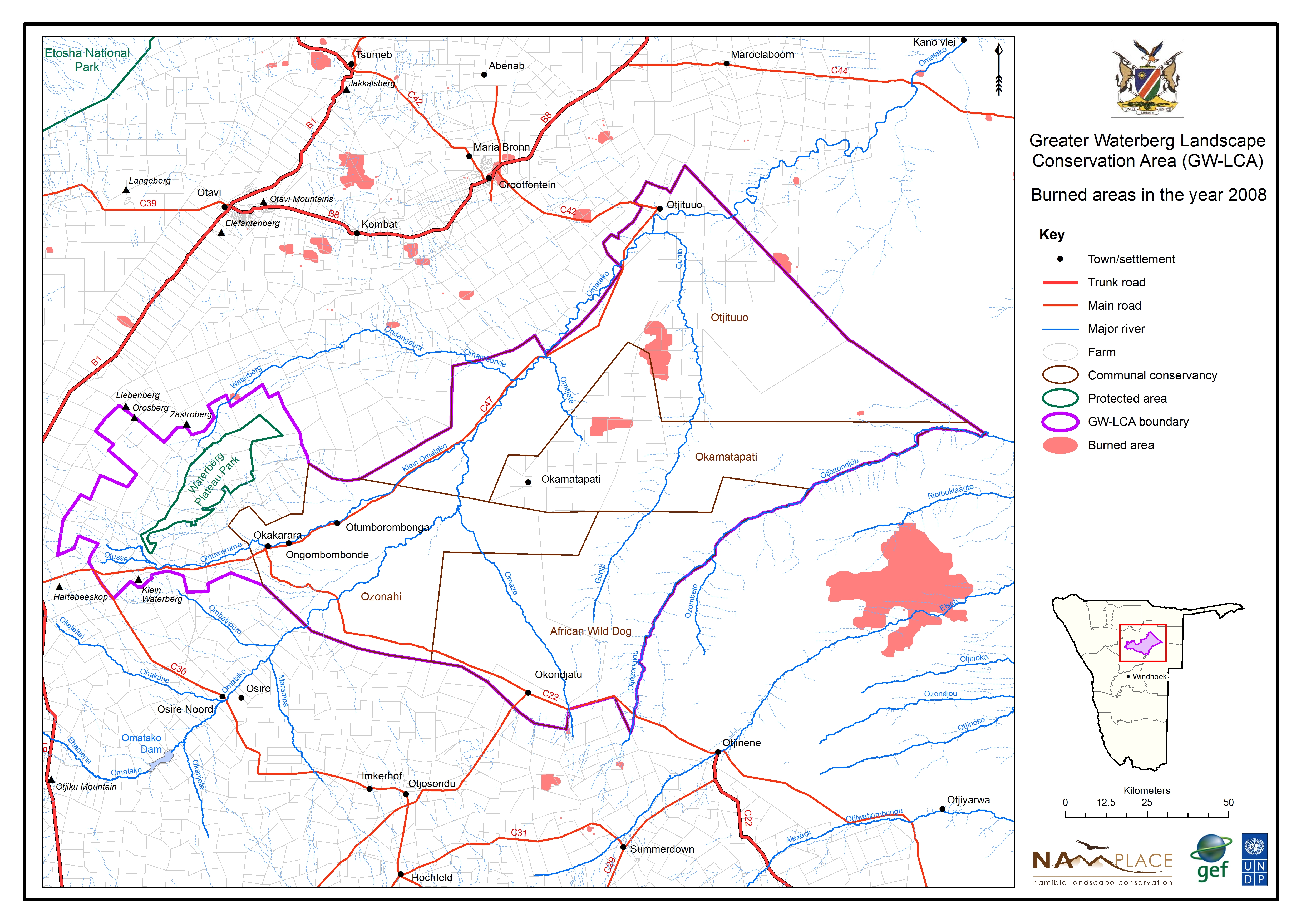
Burned areas in 2008
» jpg
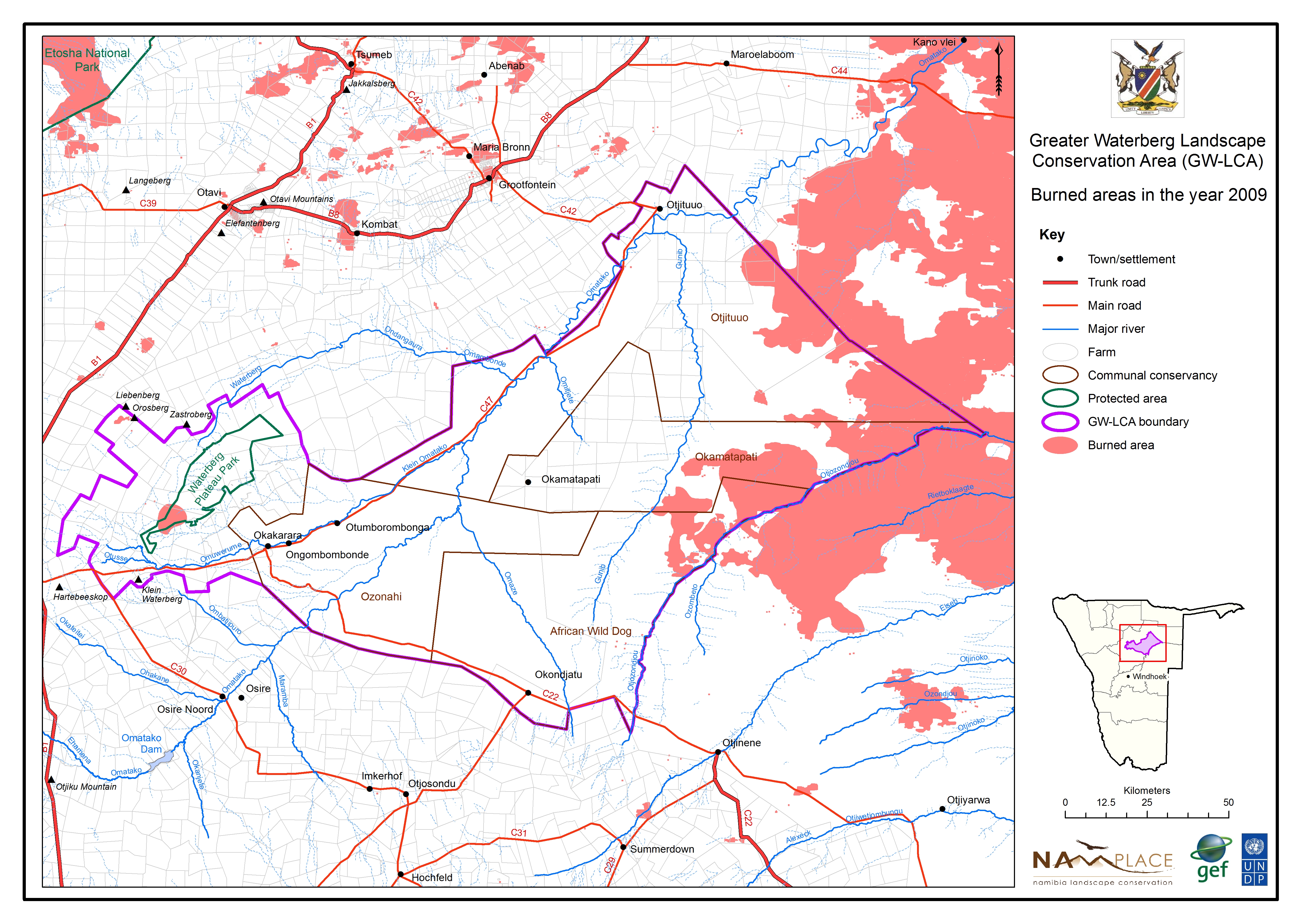
Burned areas in 2009
» jpg
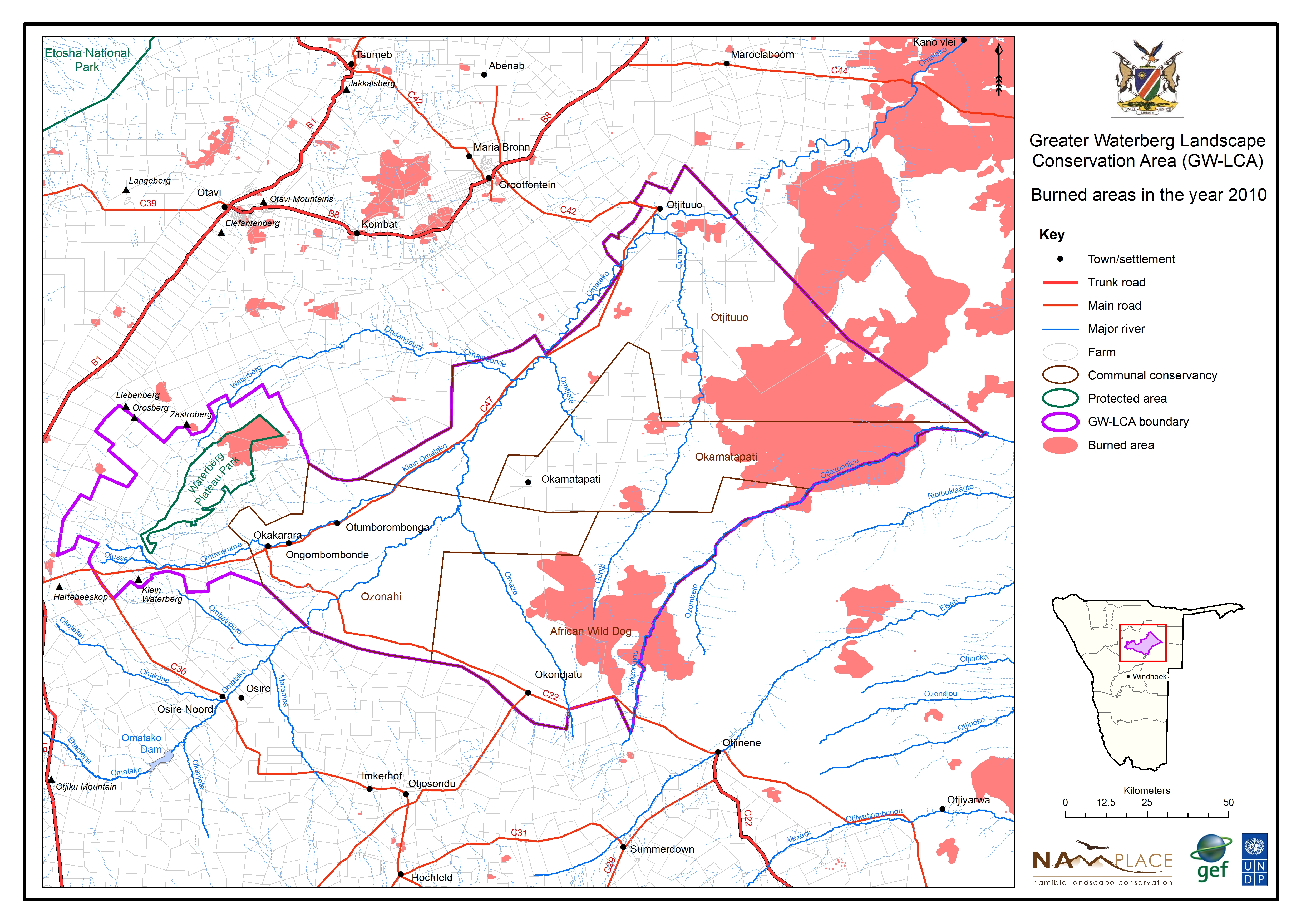
Burned areas in 2010
» jpg
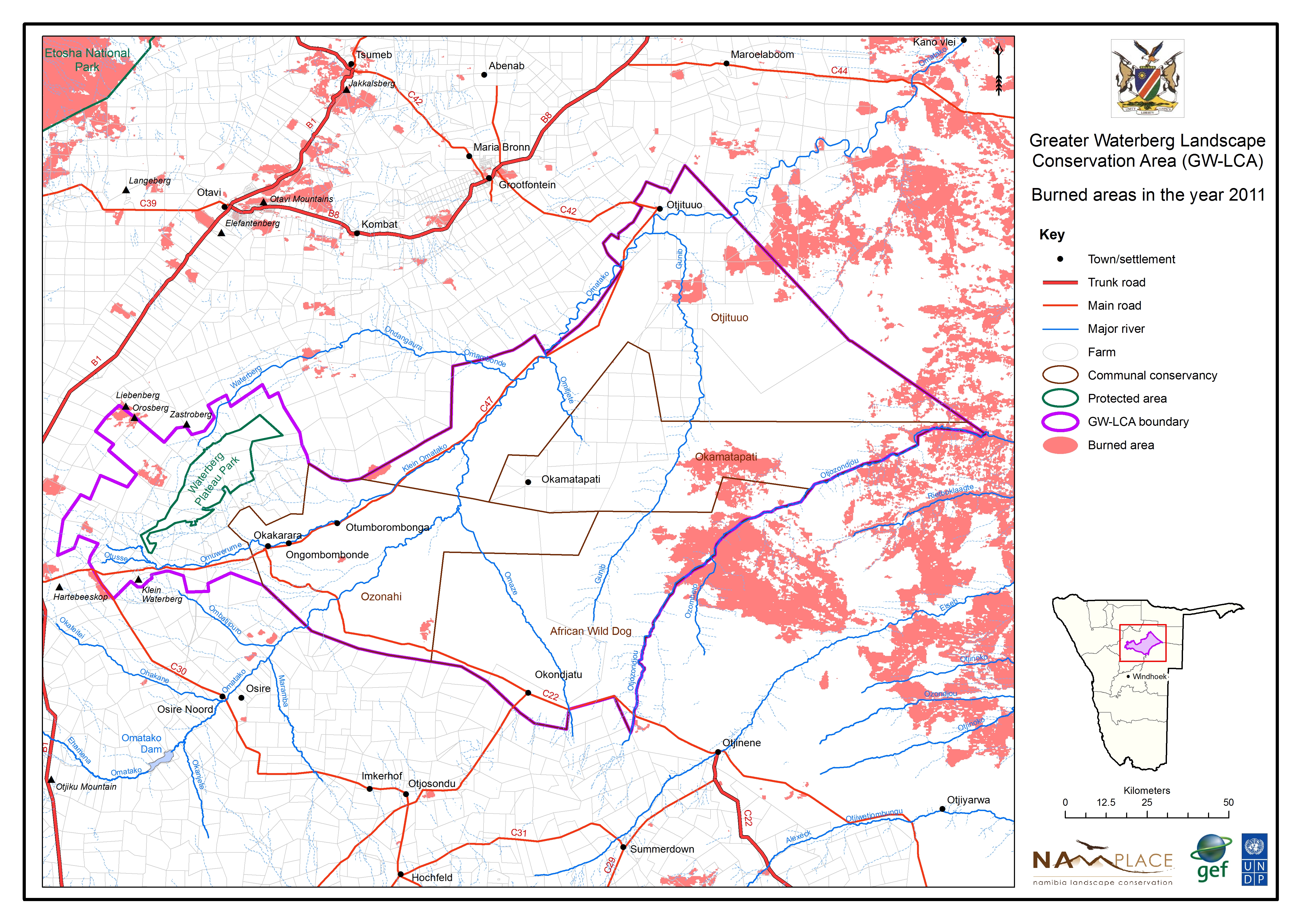
Burned areas in 2011
» jpg

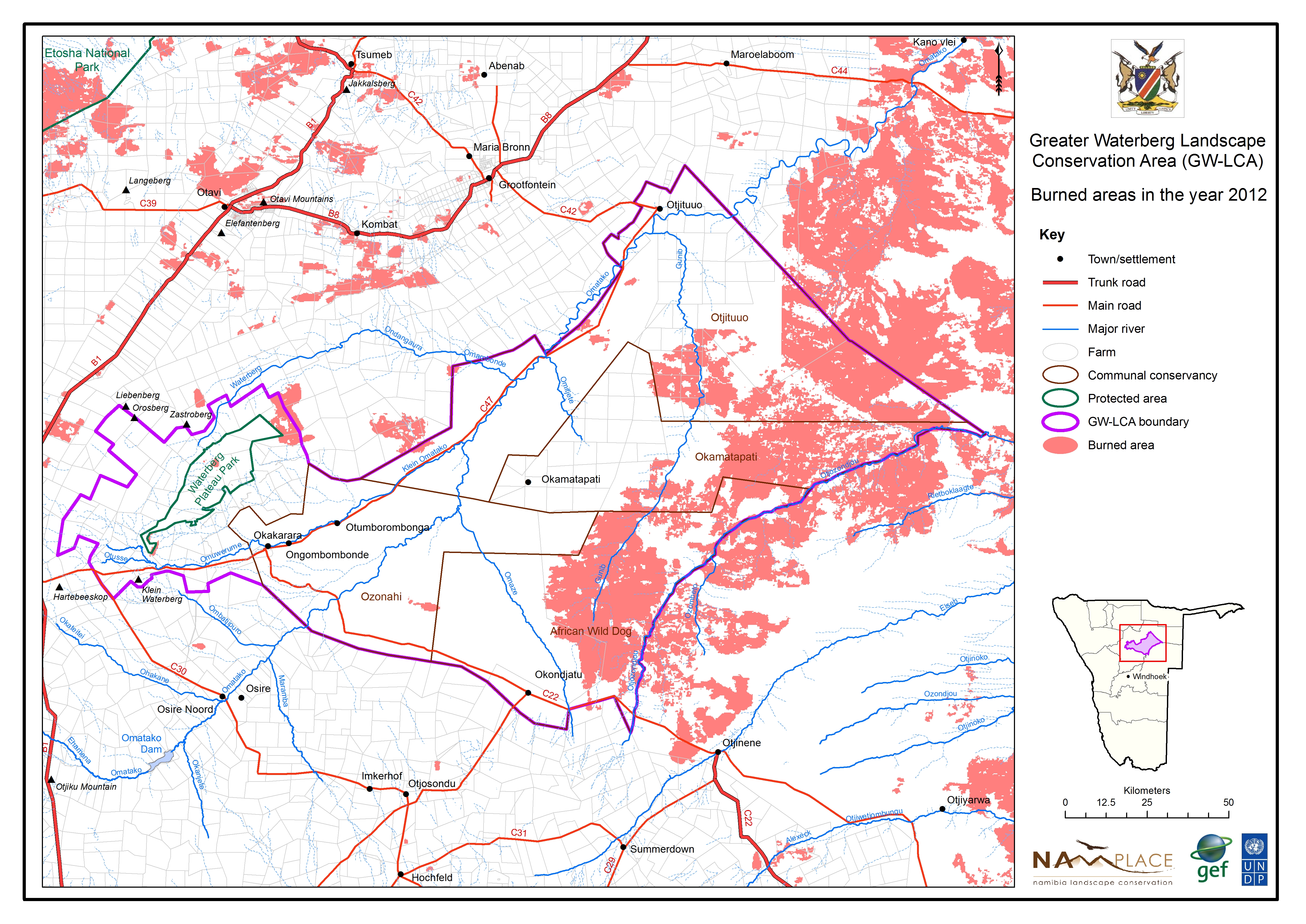
Burned areas in 2012
» jpg
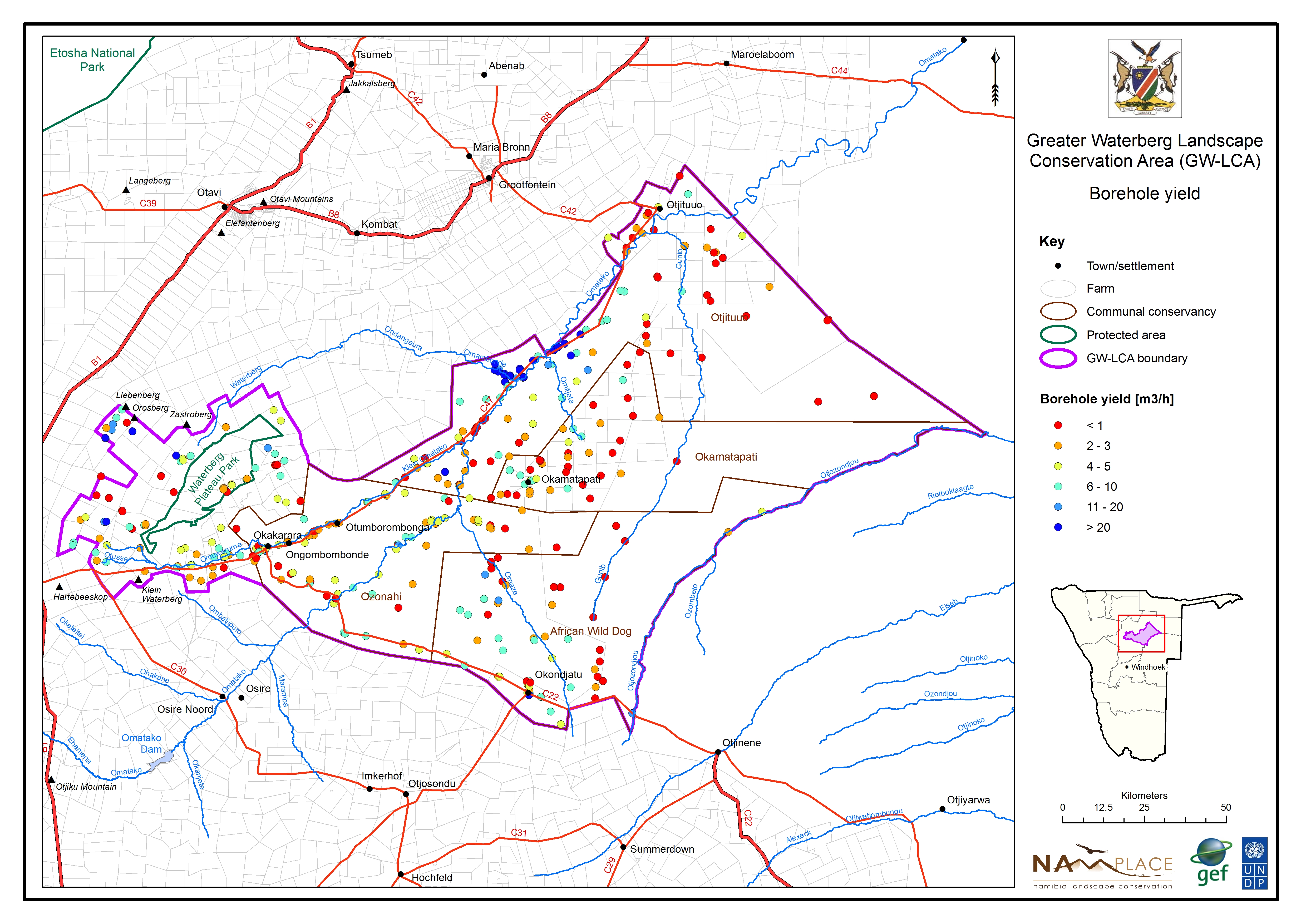
Groundwater borehole yield
» jpg
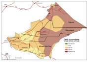
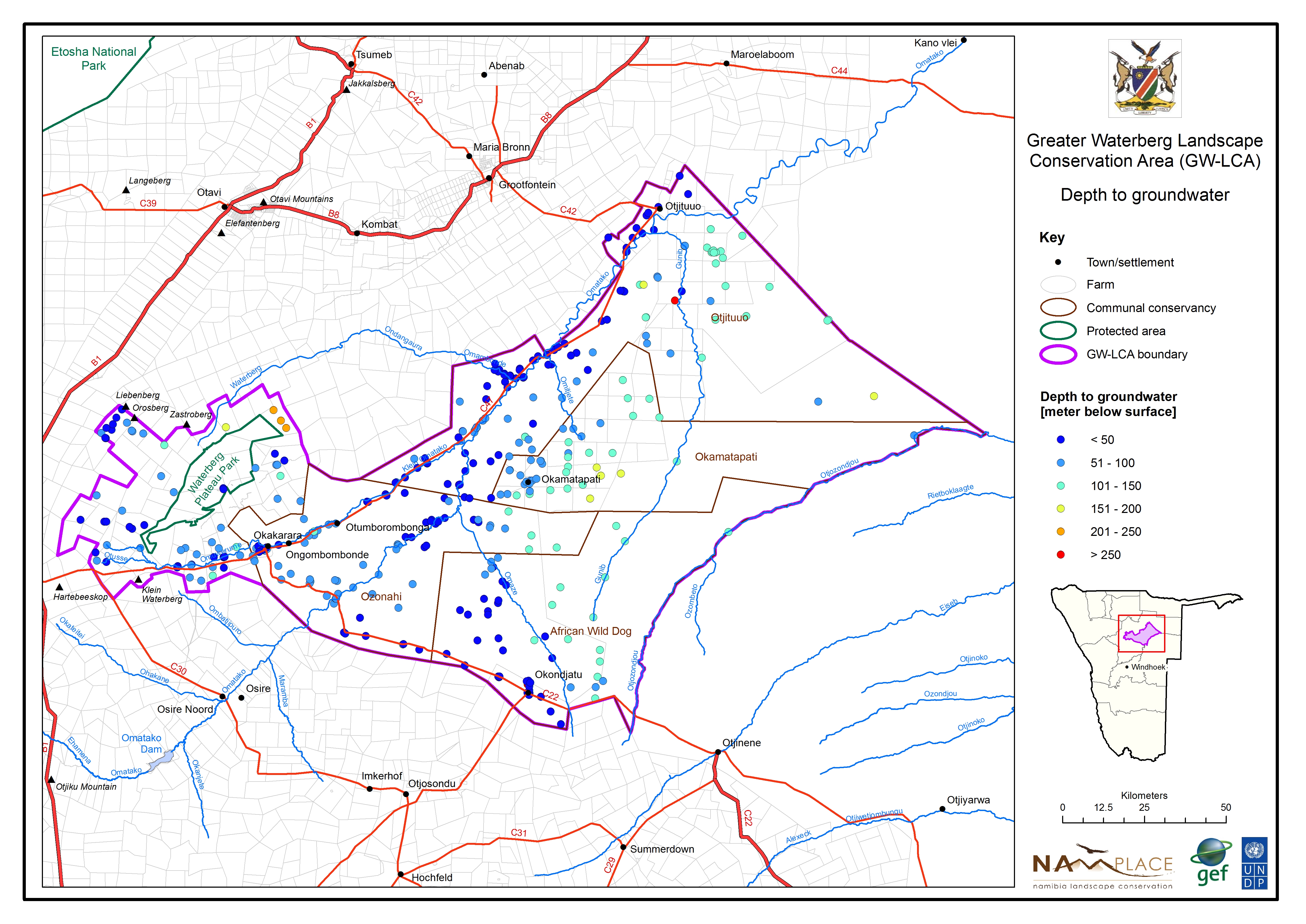
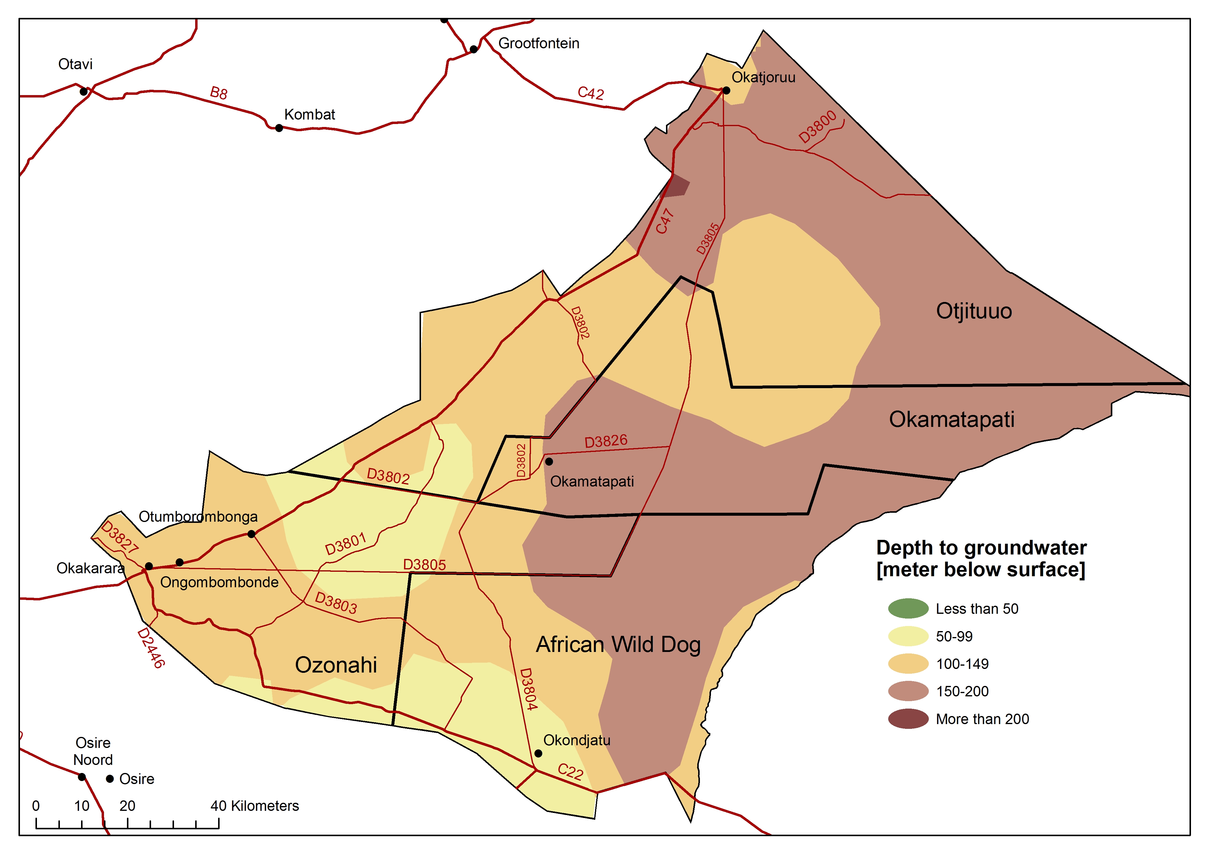
Groundwater borehole depth
» jpg
Groundwater borehole quality
» jpg
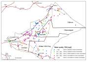
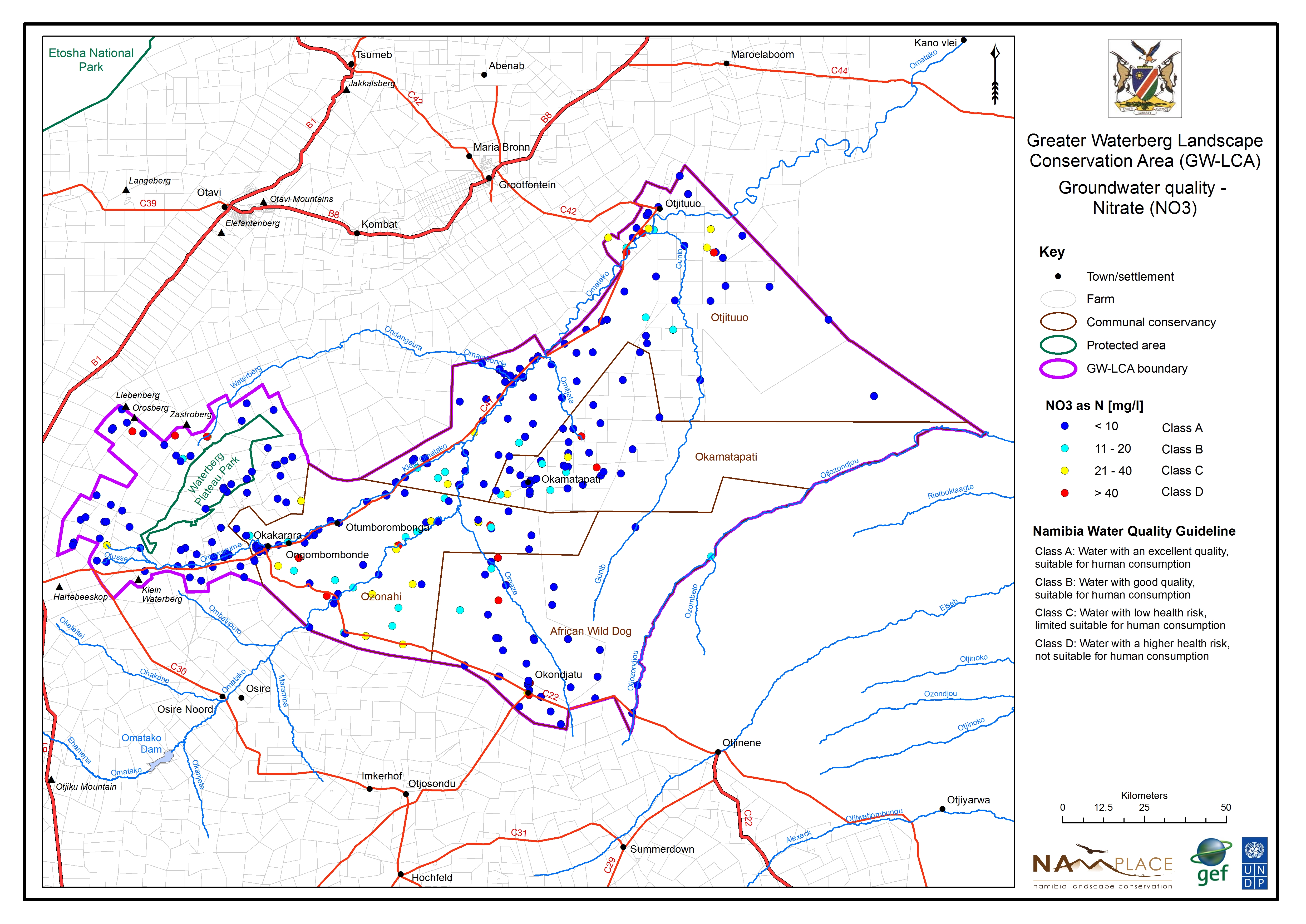
Groundwater quality - Nitrate
» jpg
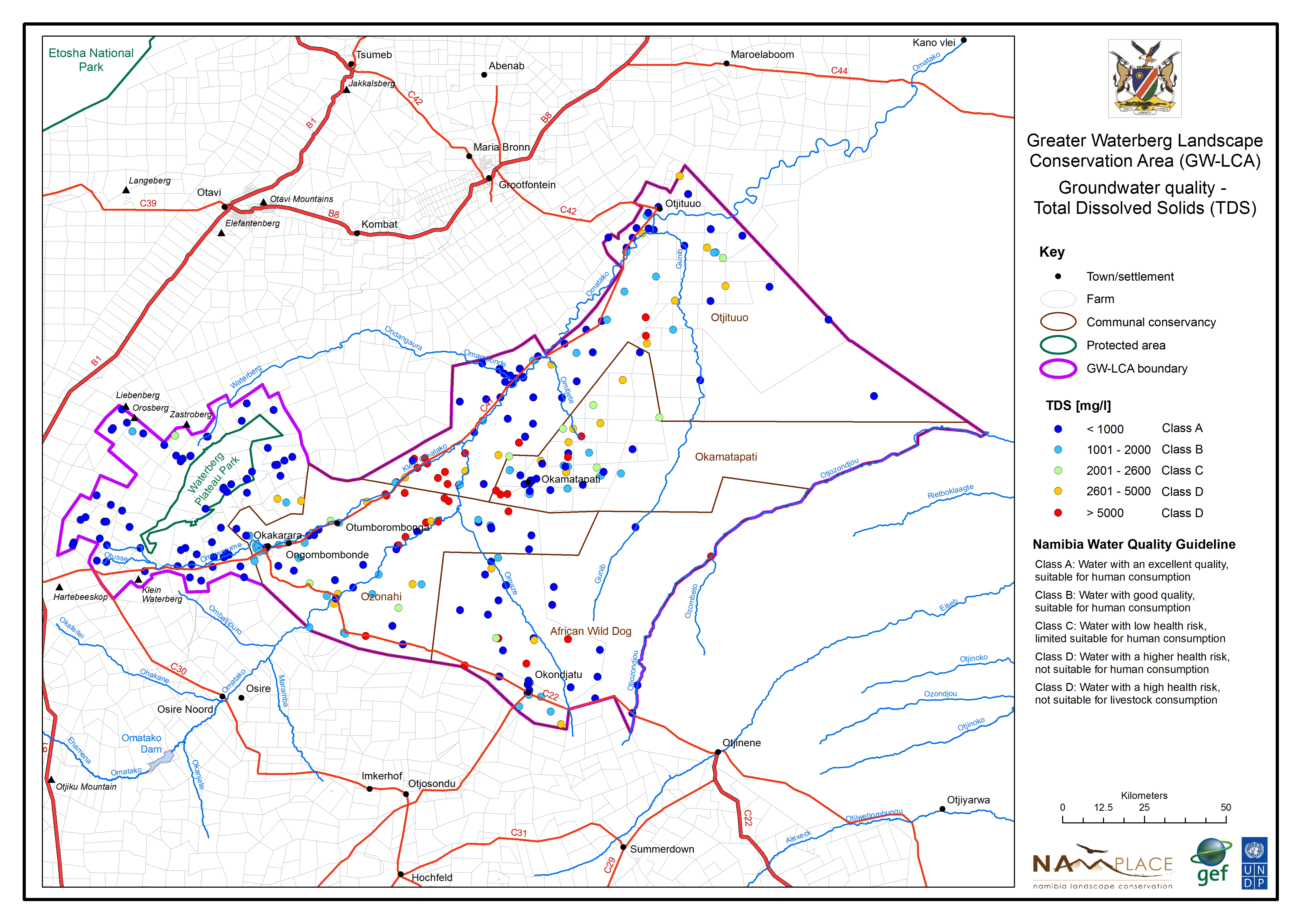
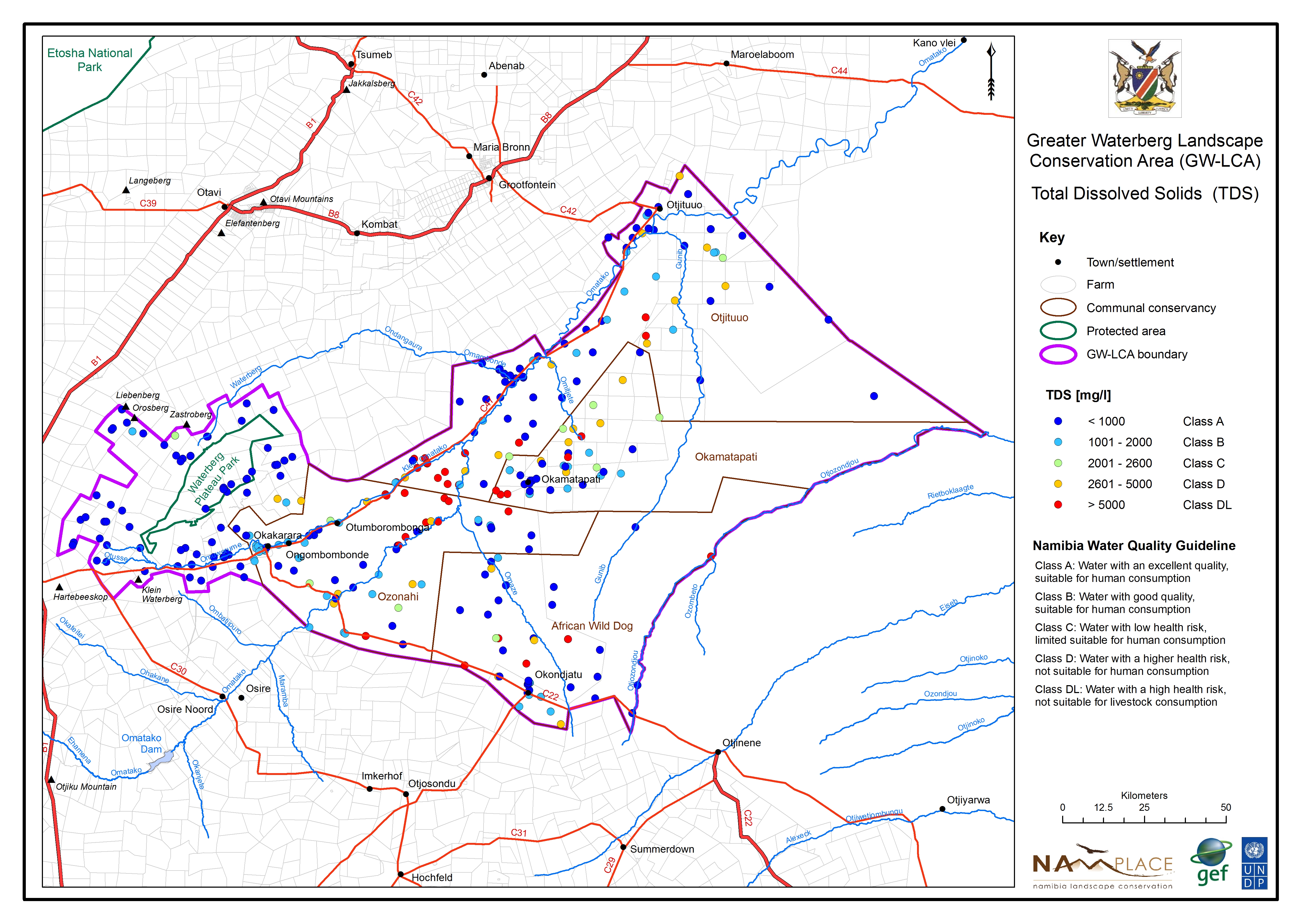
Groundwater quality - TDS
» jpg
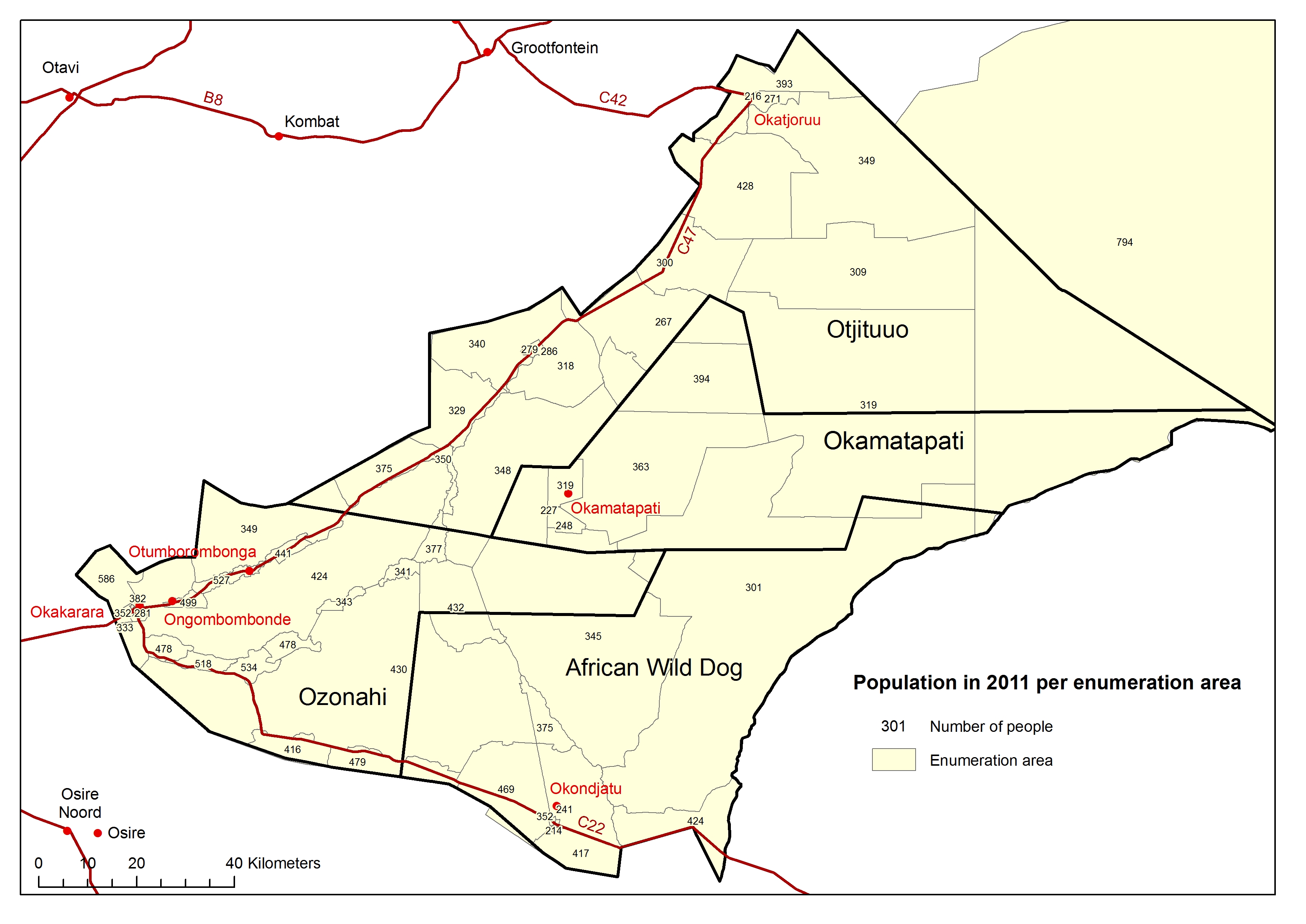
Population distribution
» jpg
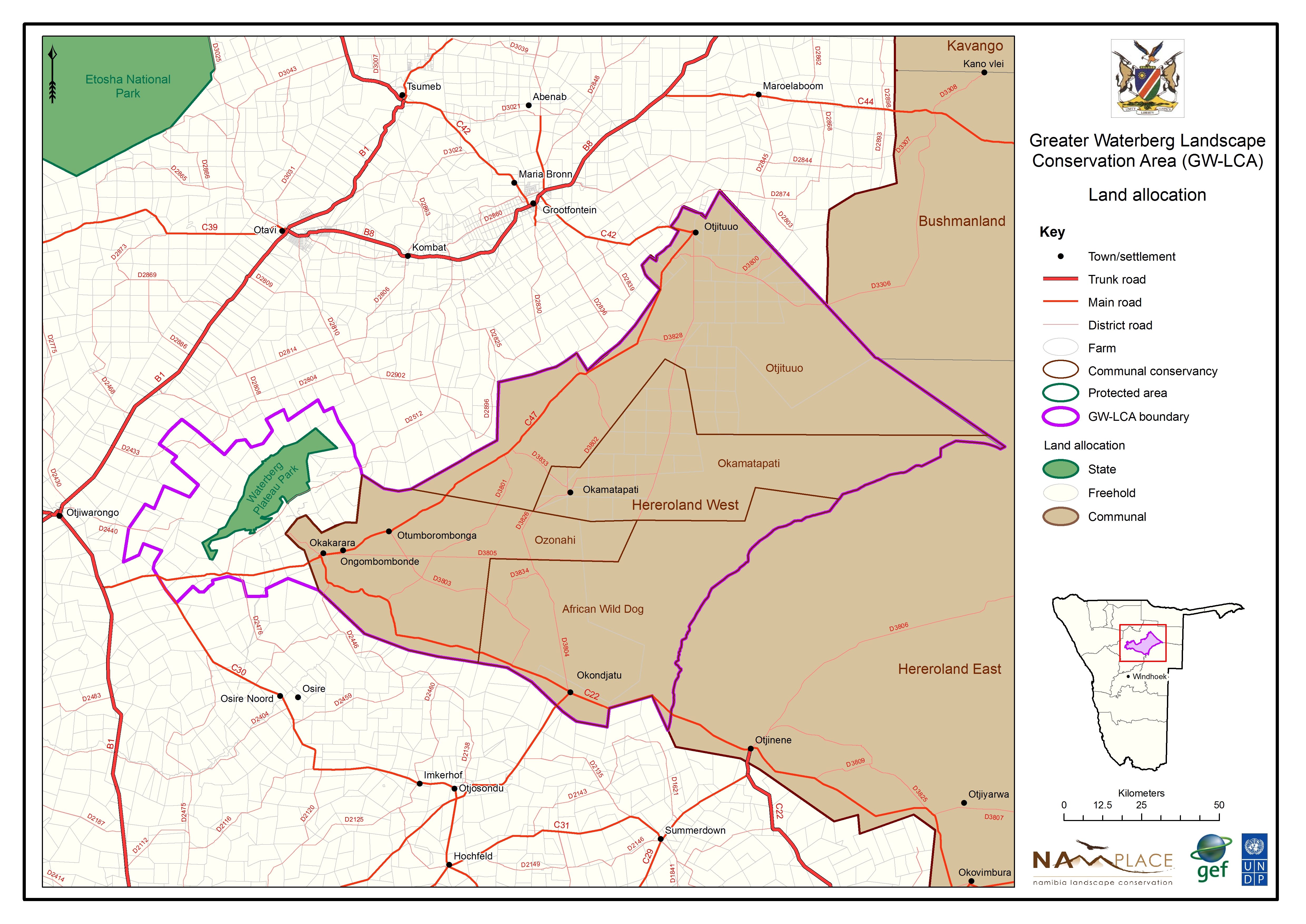
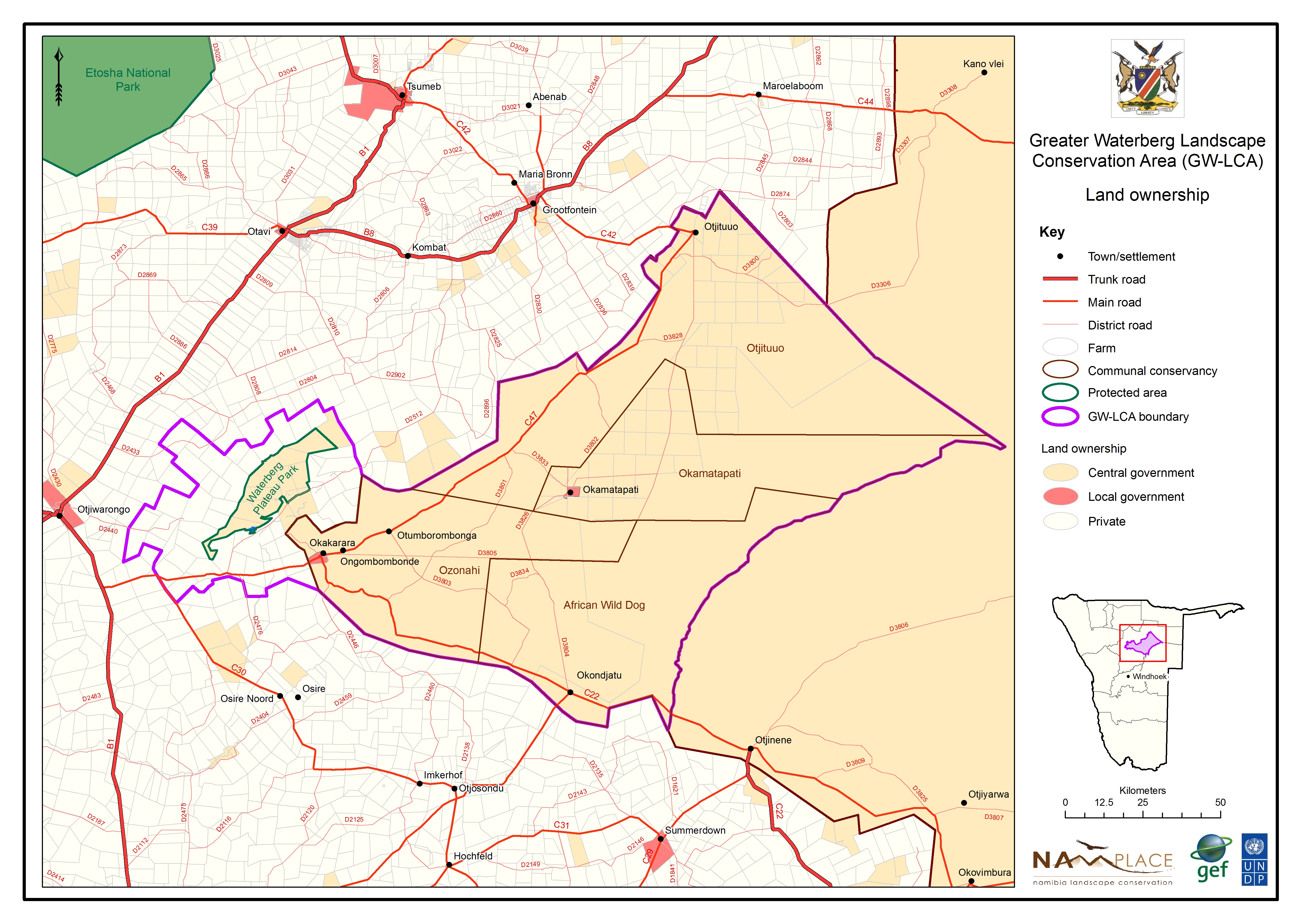
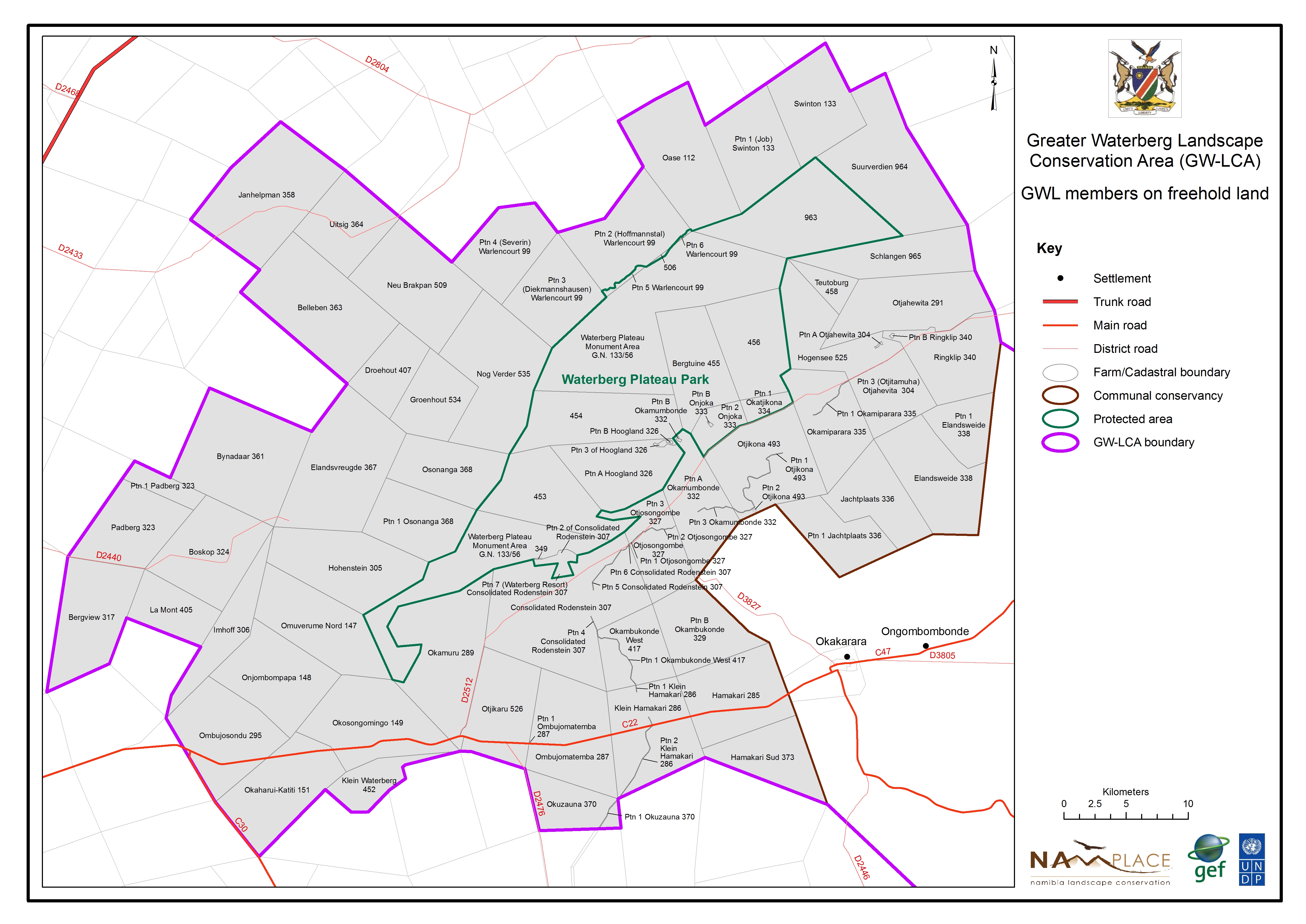
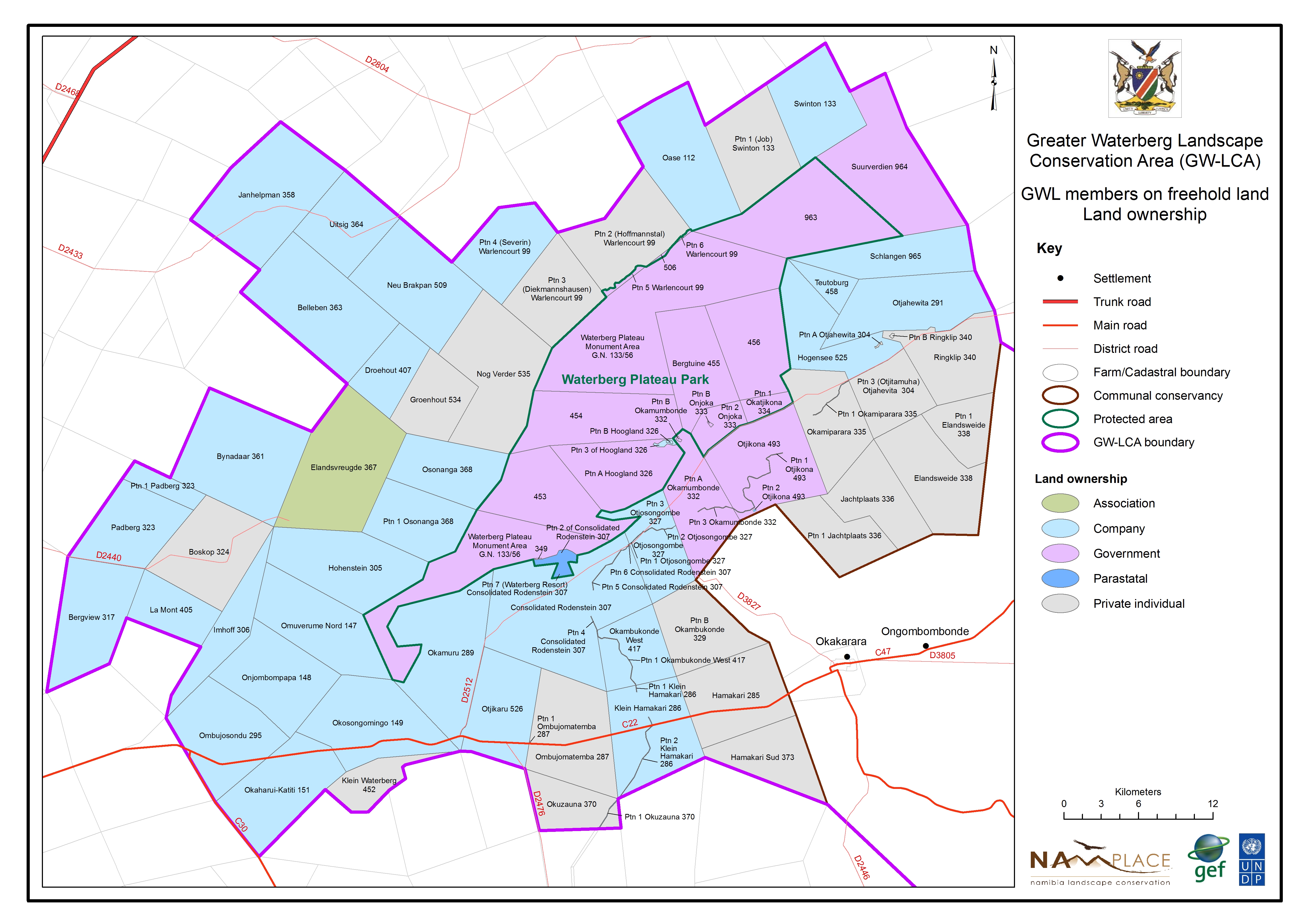
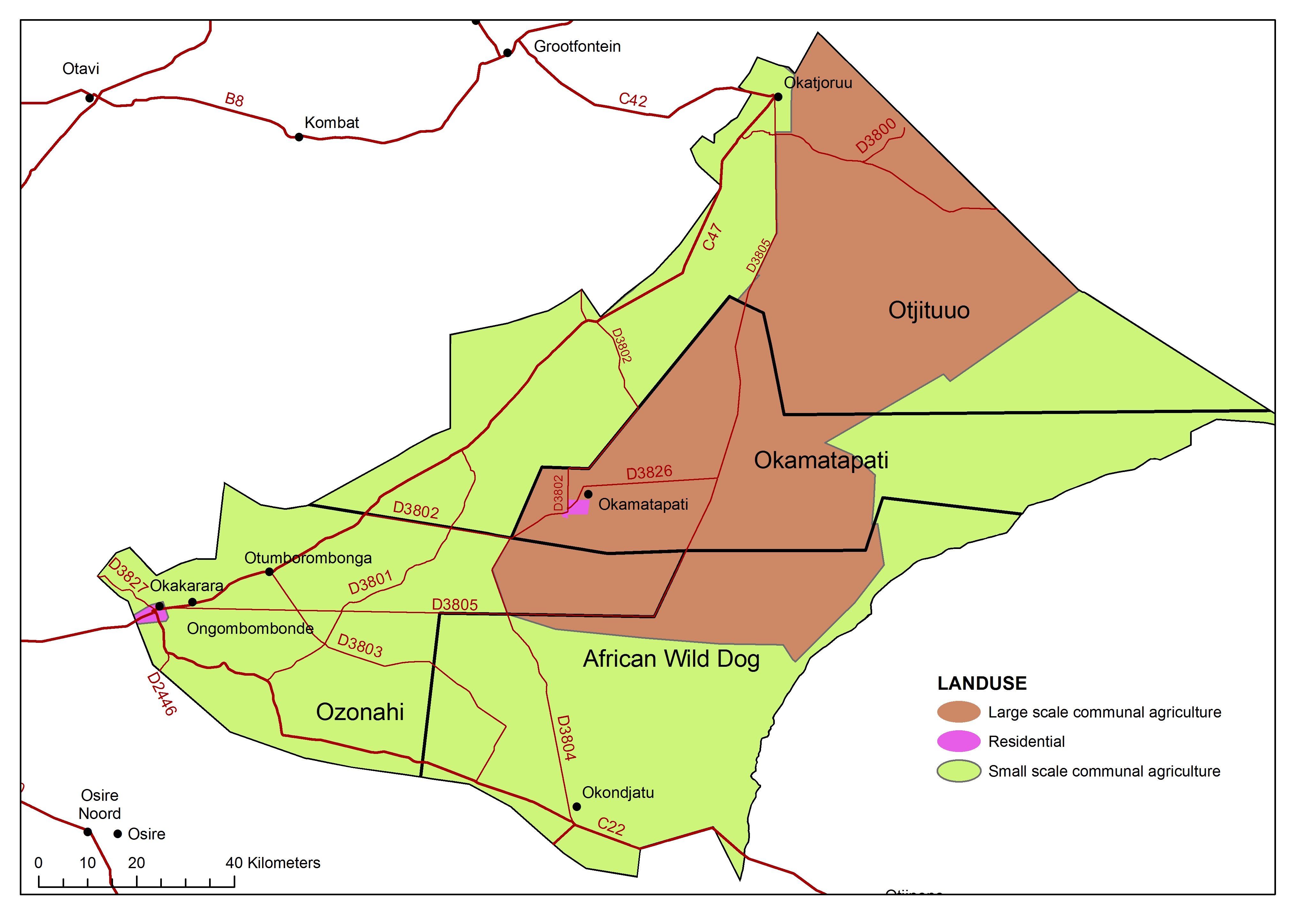
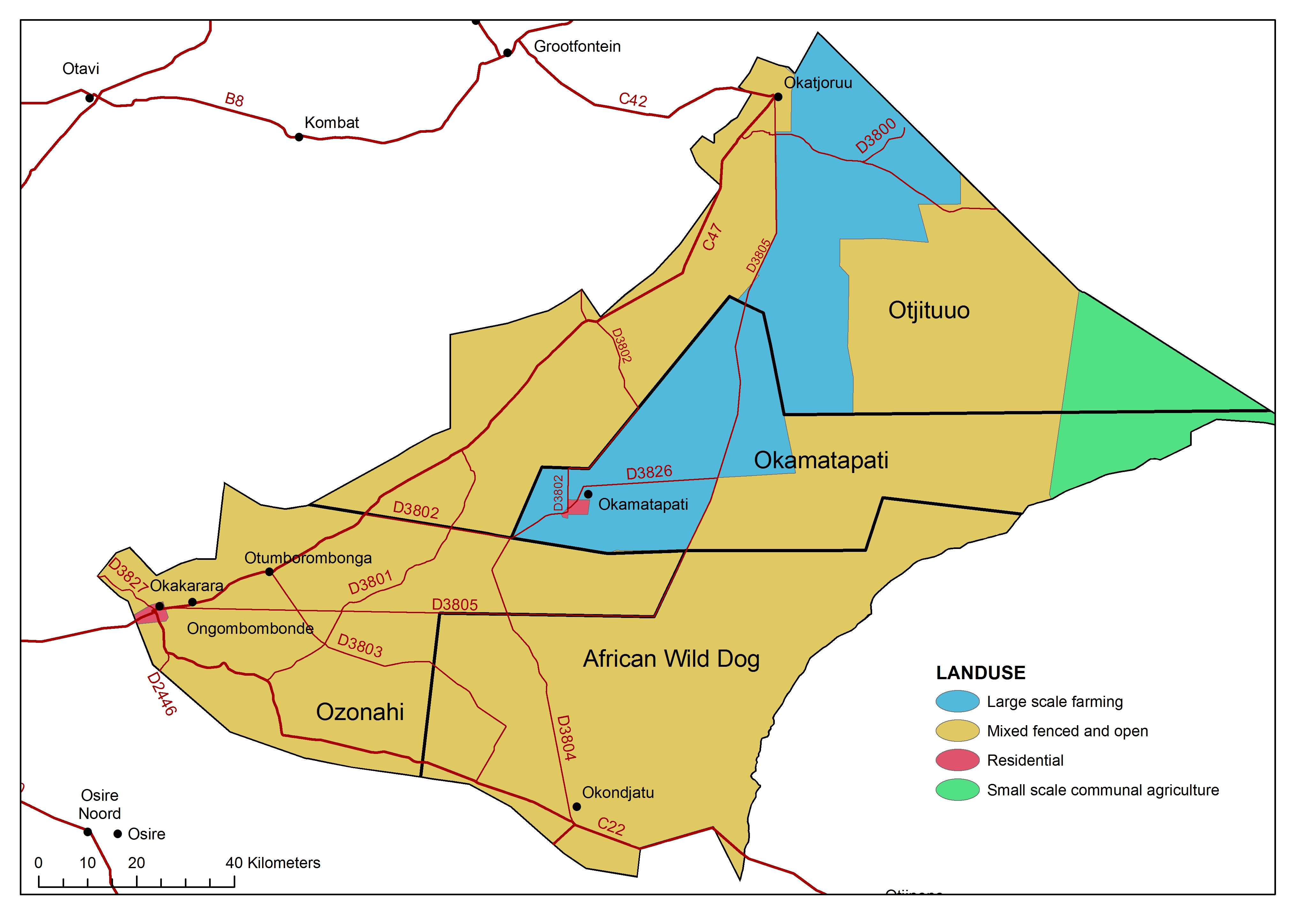
Member Commercial land ownership
» jpg
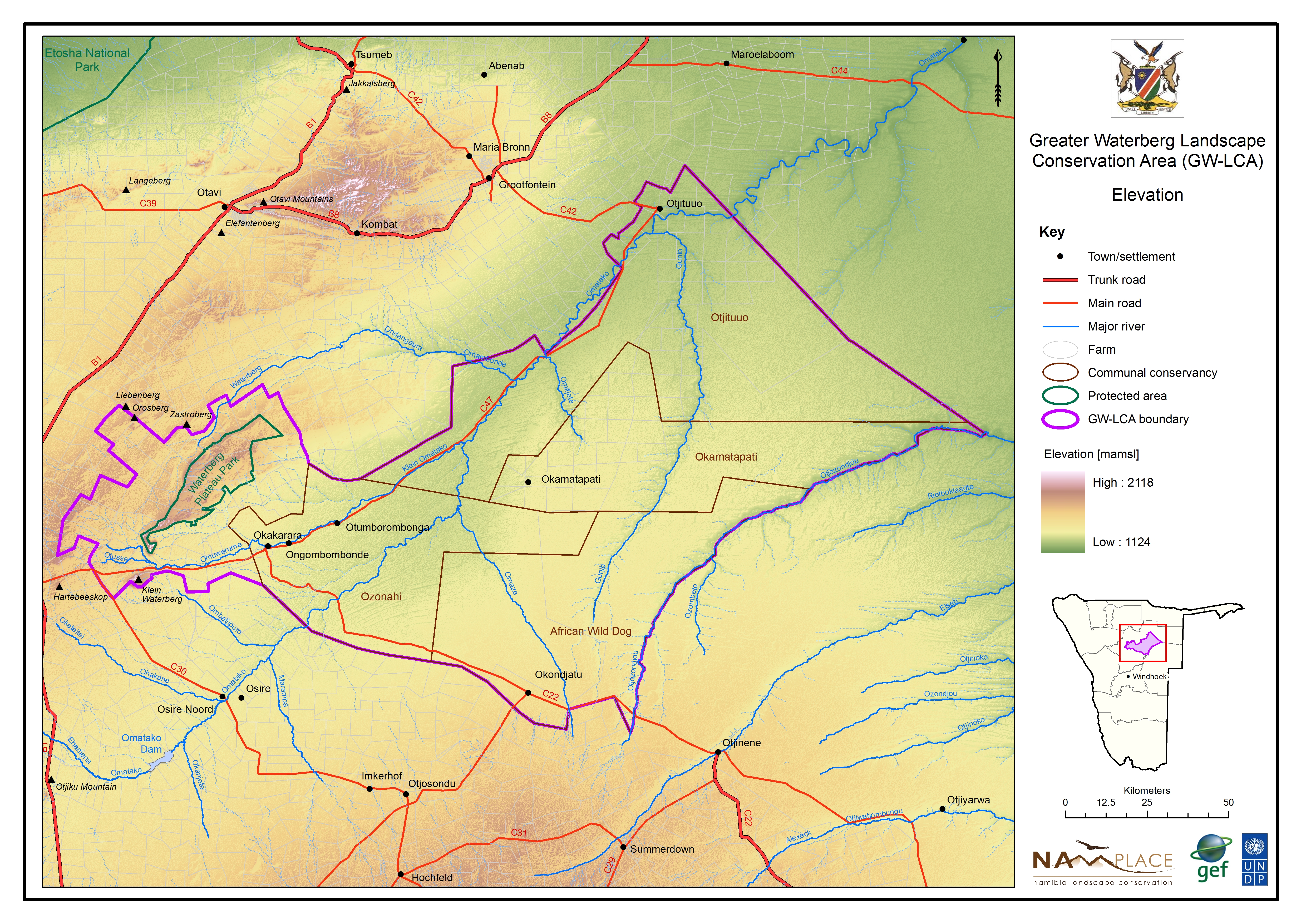
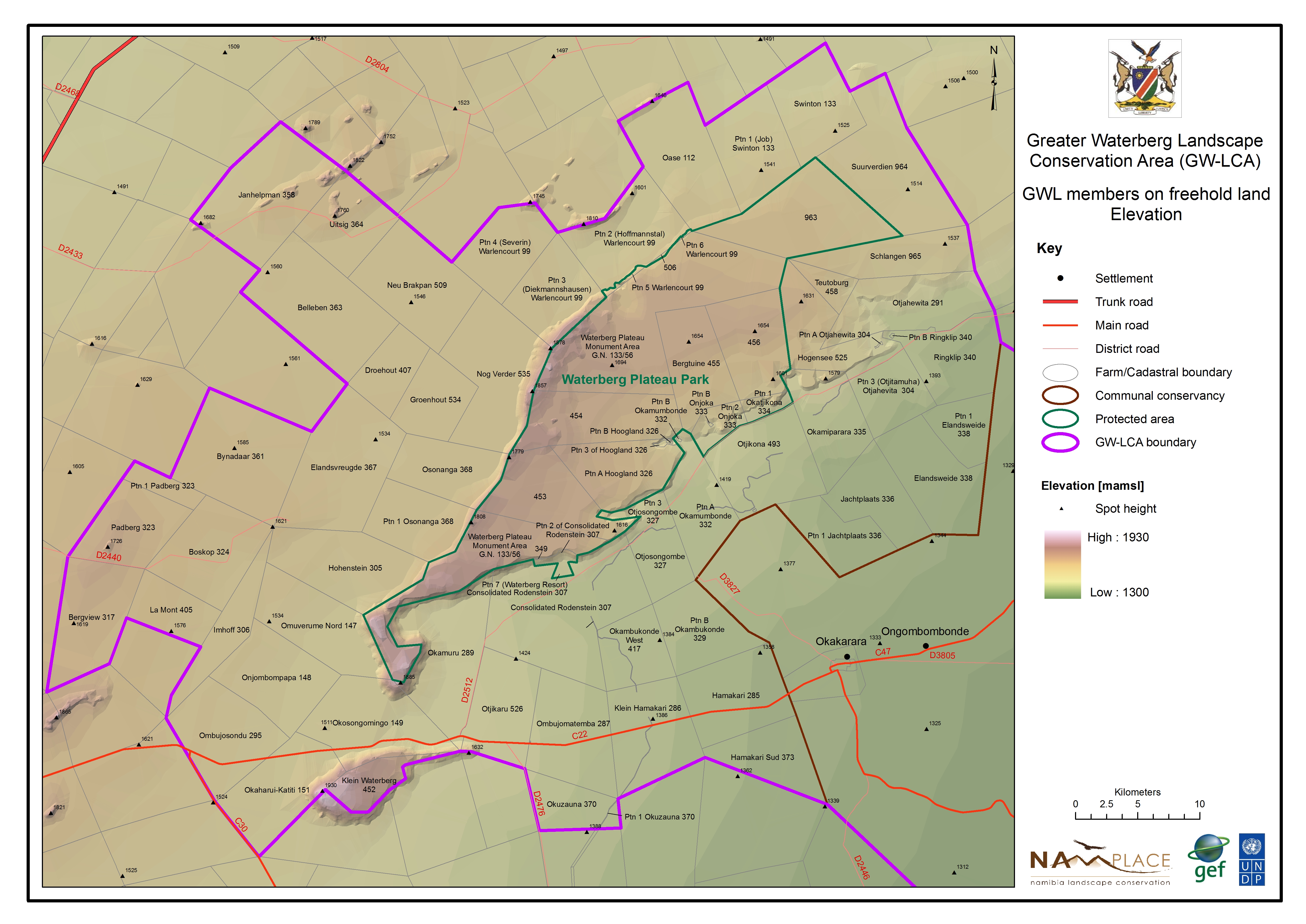
Member Commercial elevation
» jpg
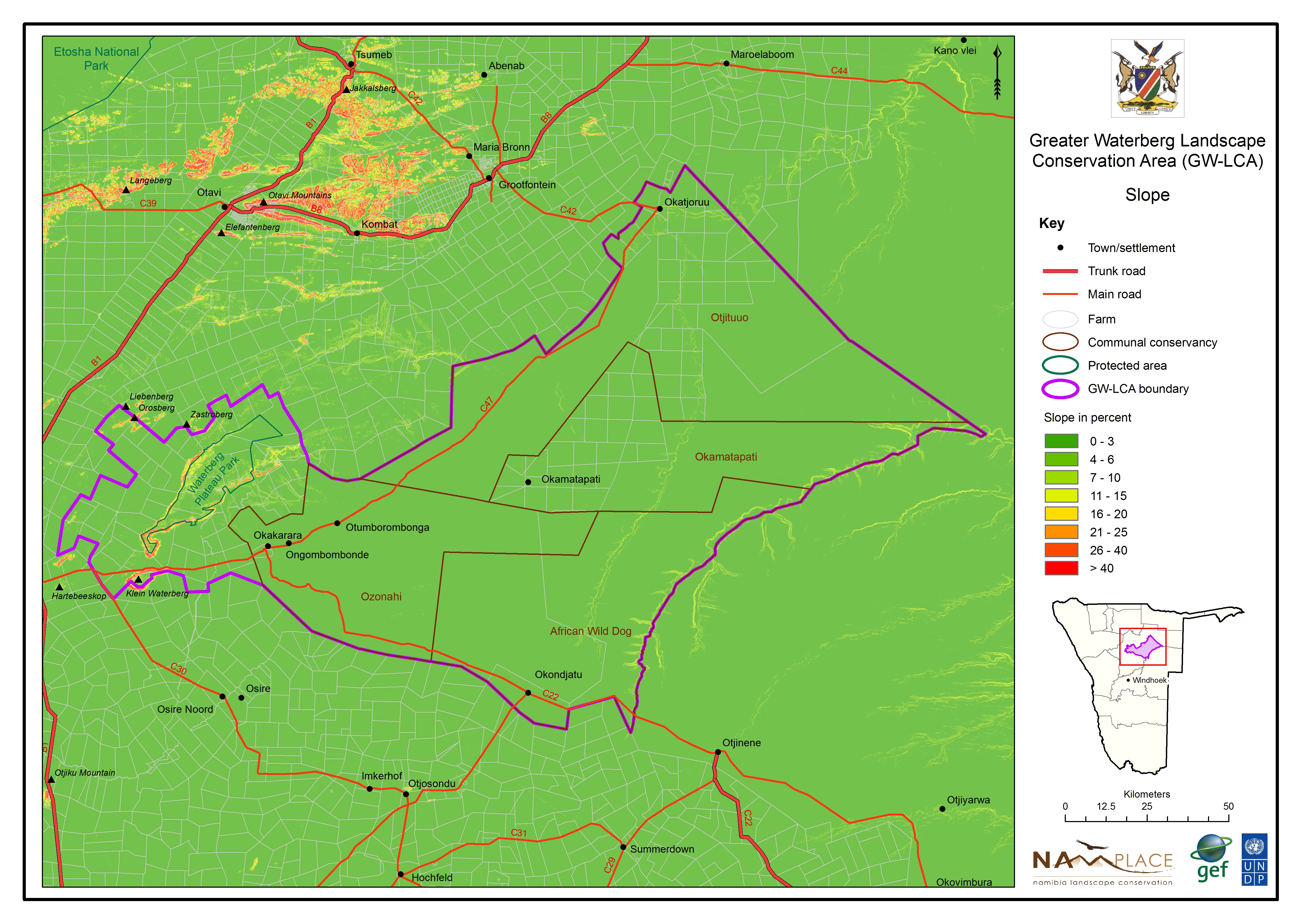
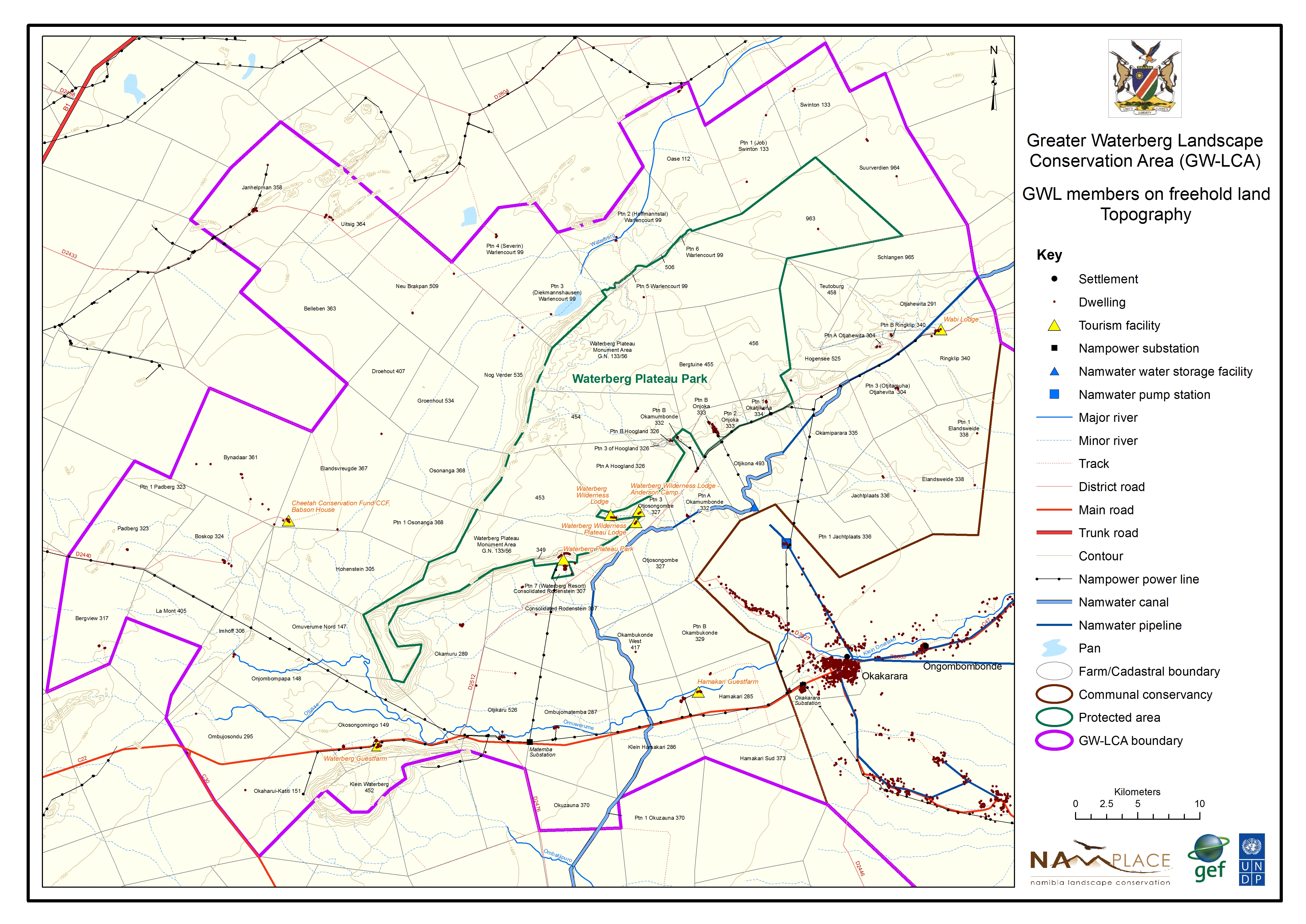
Member Commercial topography
» jpg
Member Commercial geology
» jpg
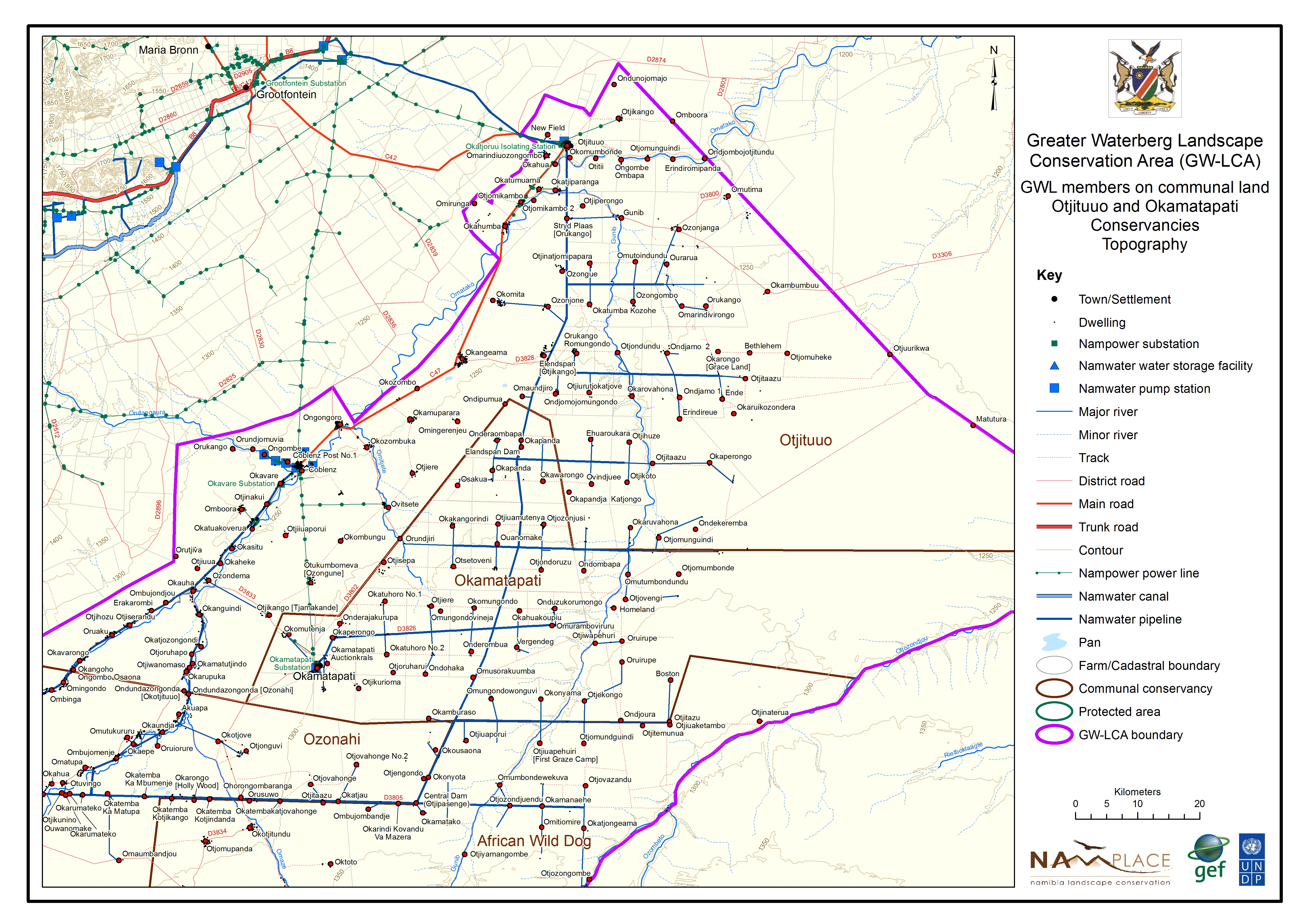
Member Communal north topography
» jpg
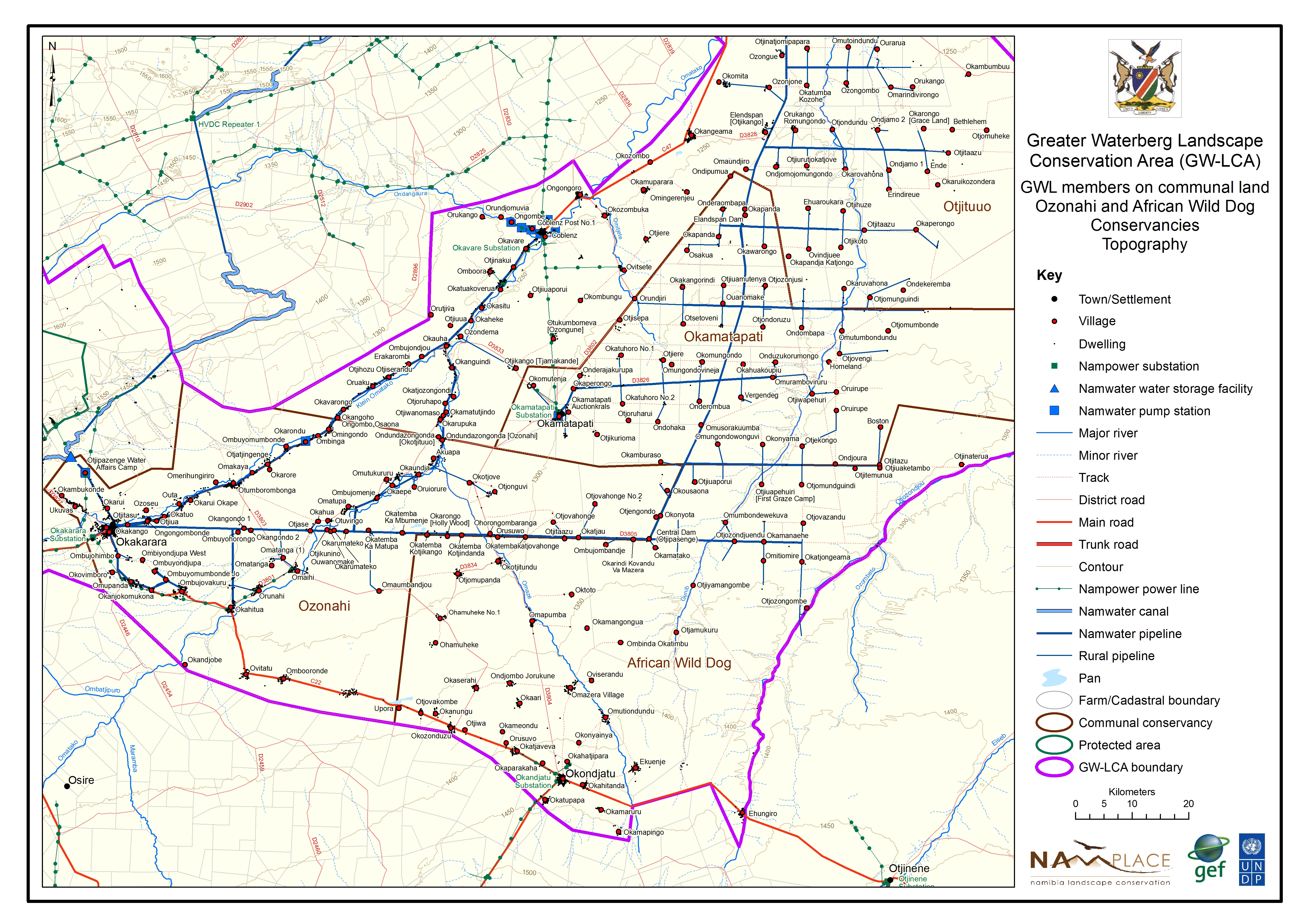
Member Communal south topography
» jpg
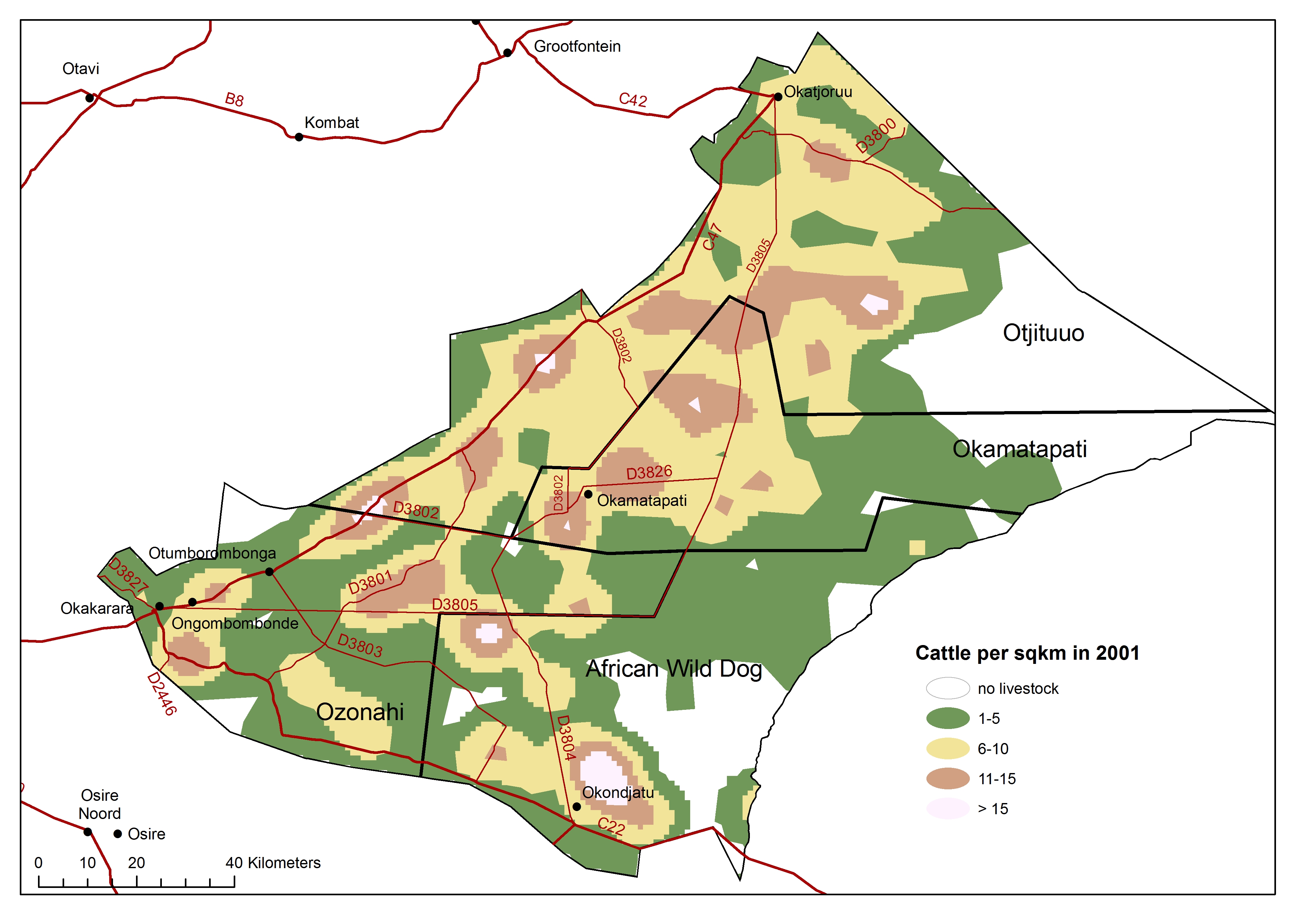
Member Communal cattle 2001
» jpg
Member Communal cattle 2012
» jpg
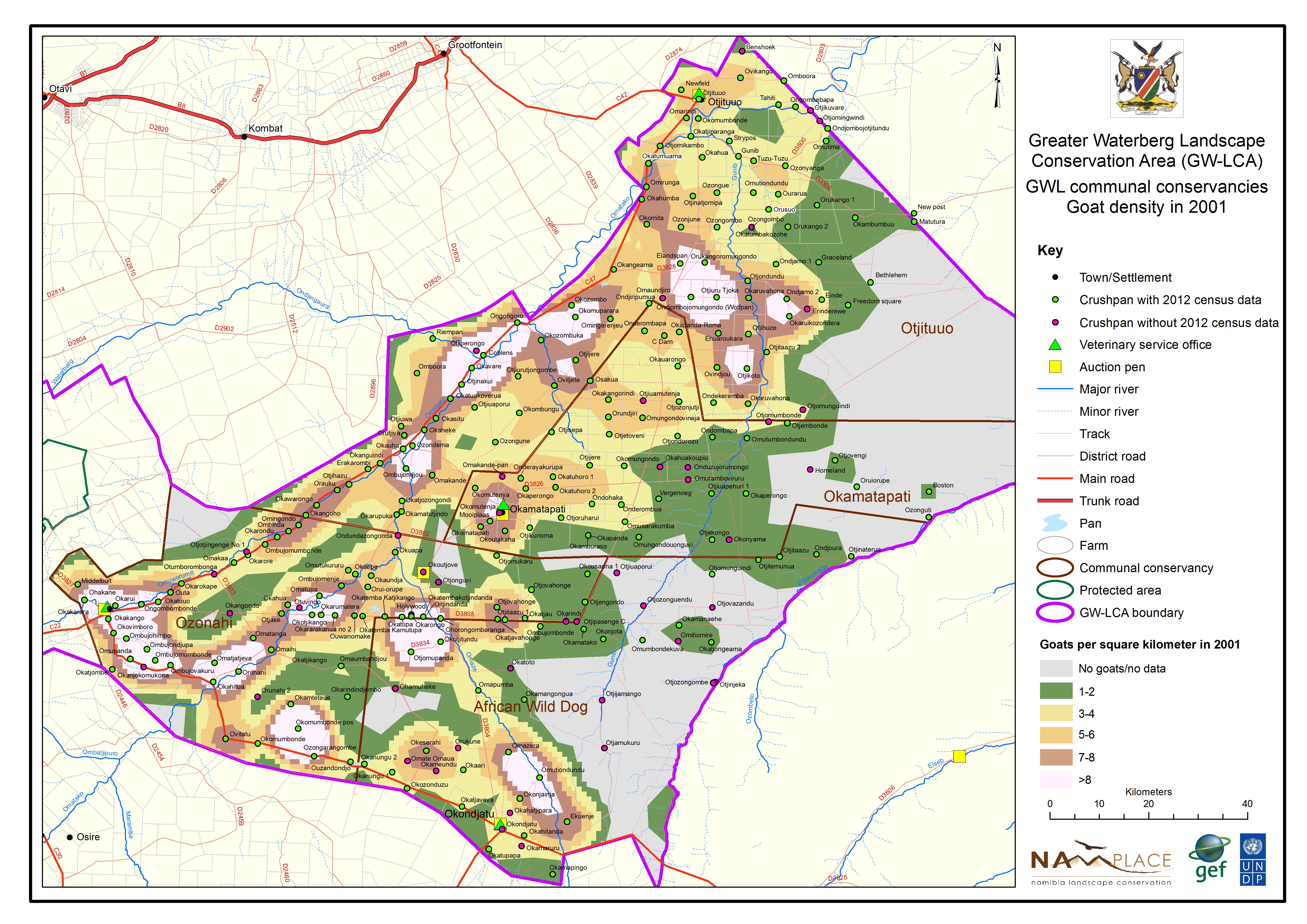
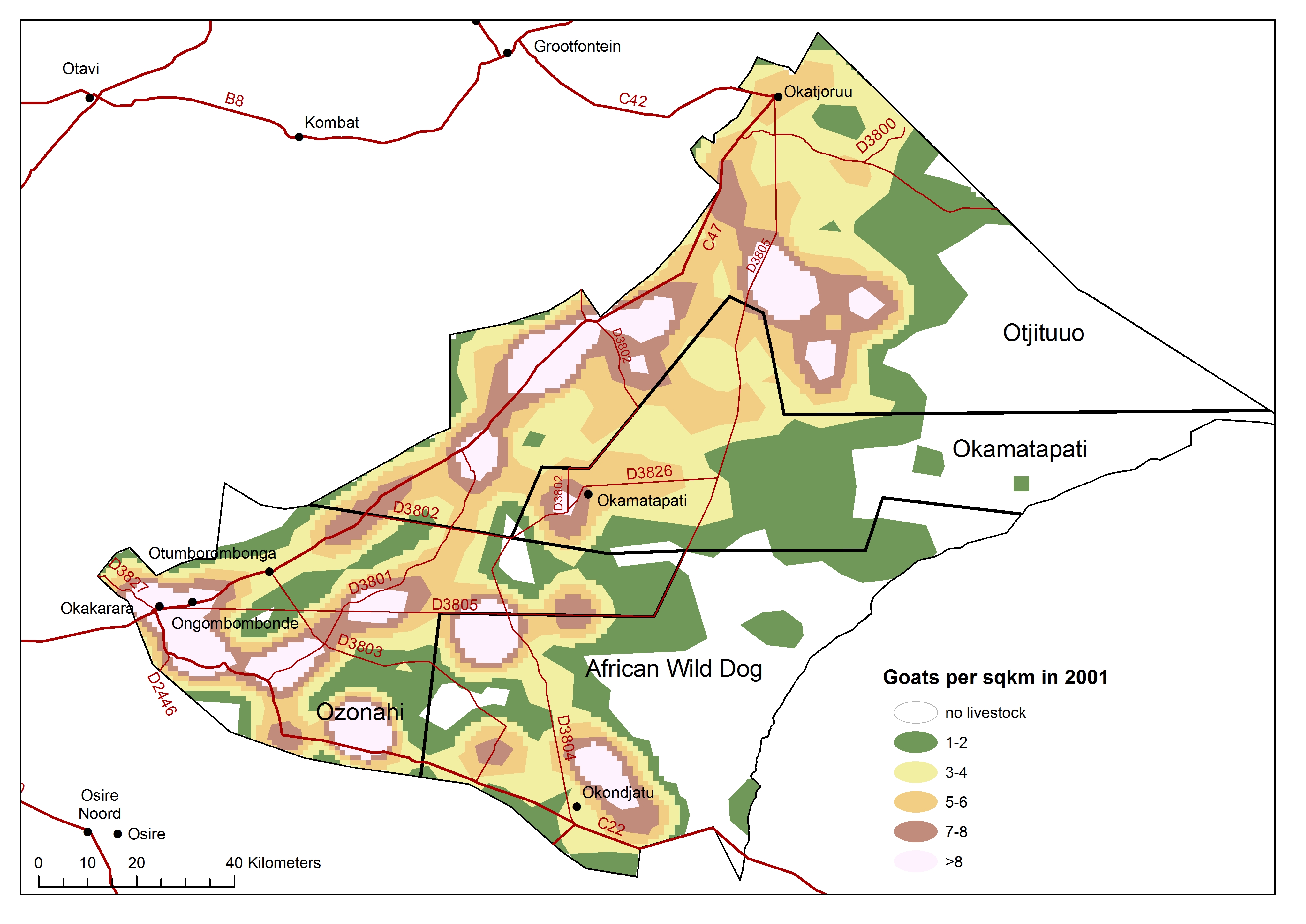
Member Communal goats 2001
» jpg
Member Communal goats 2012
» jpg
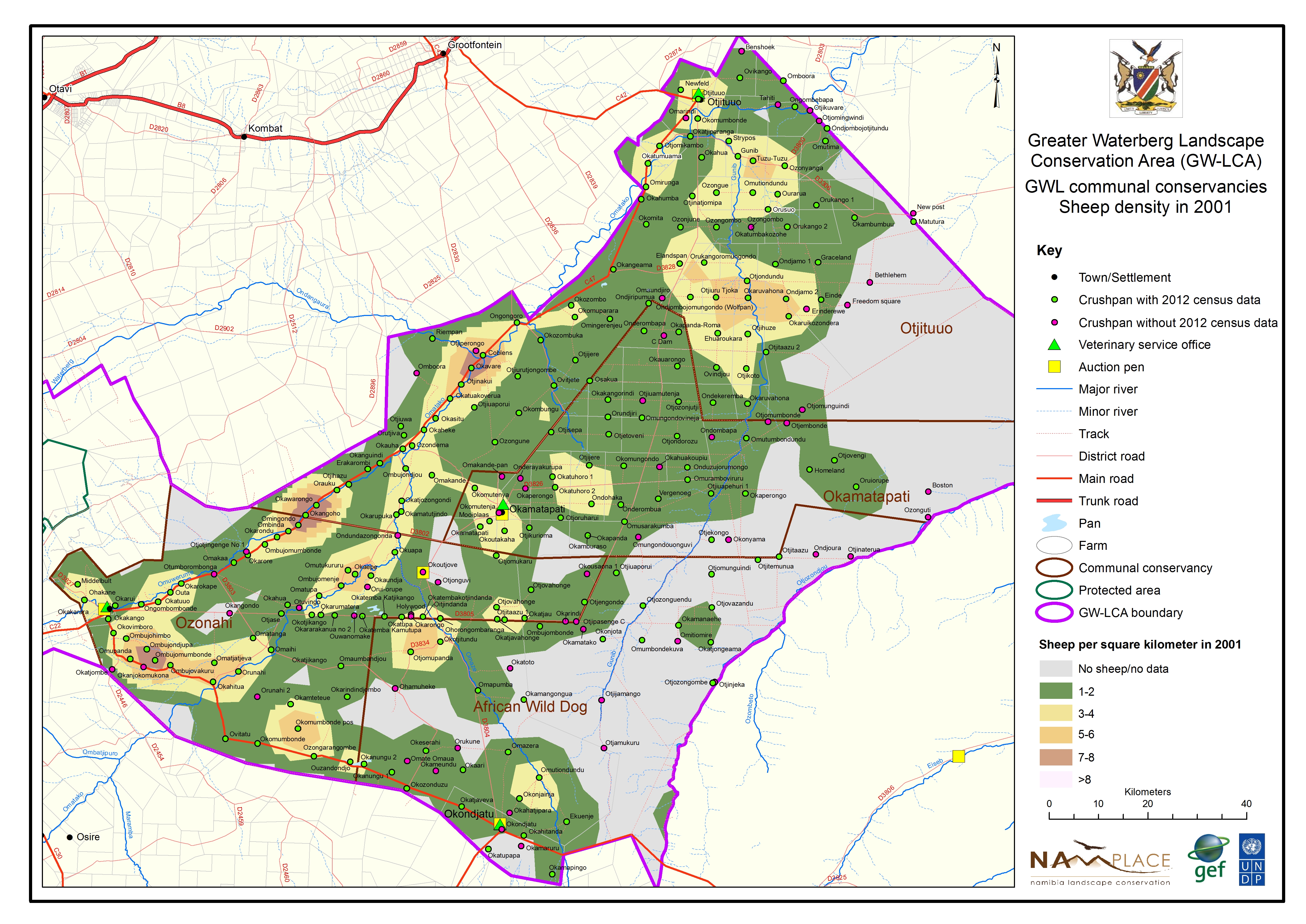
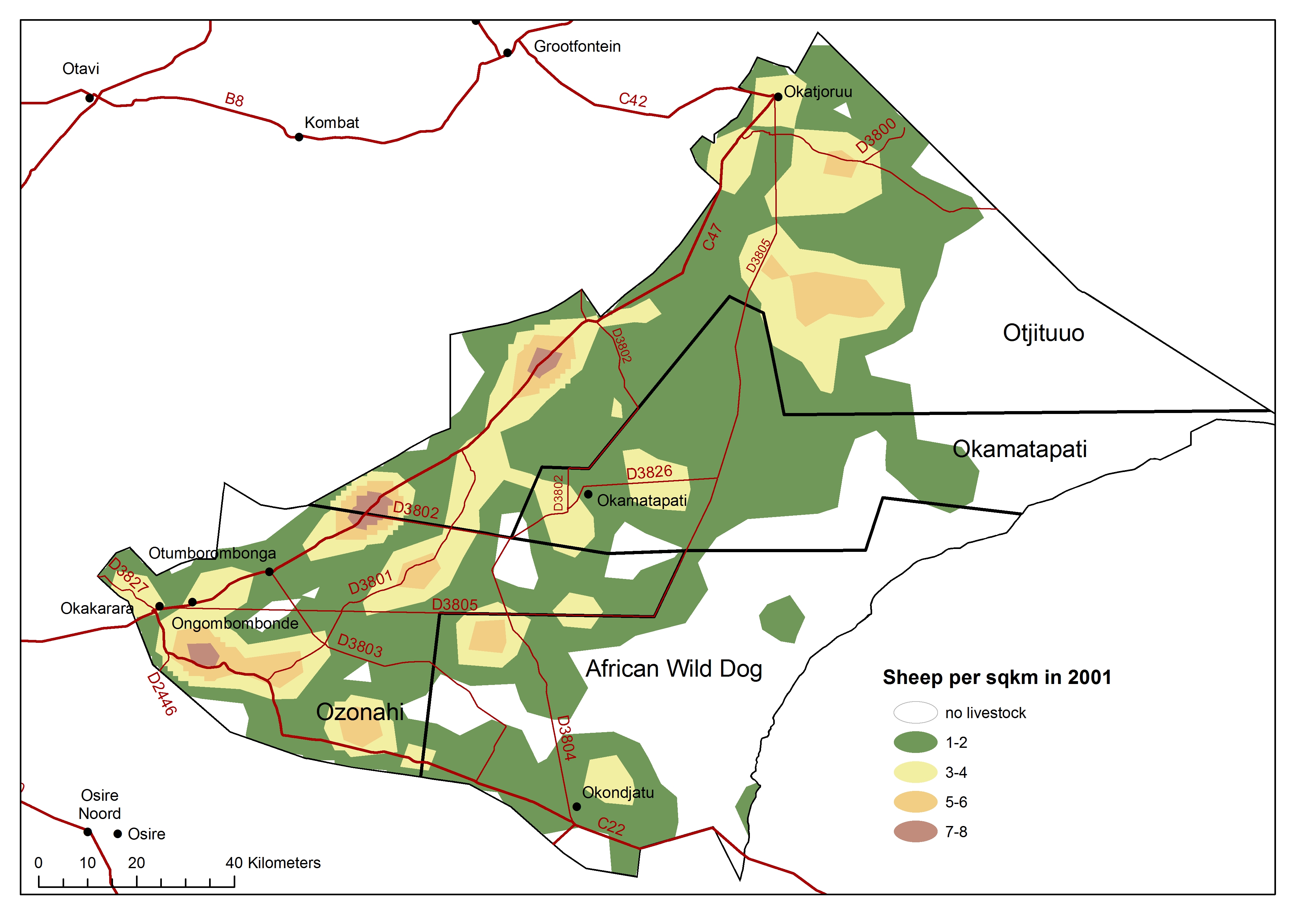
Member Communal sheep 2001
» jpg
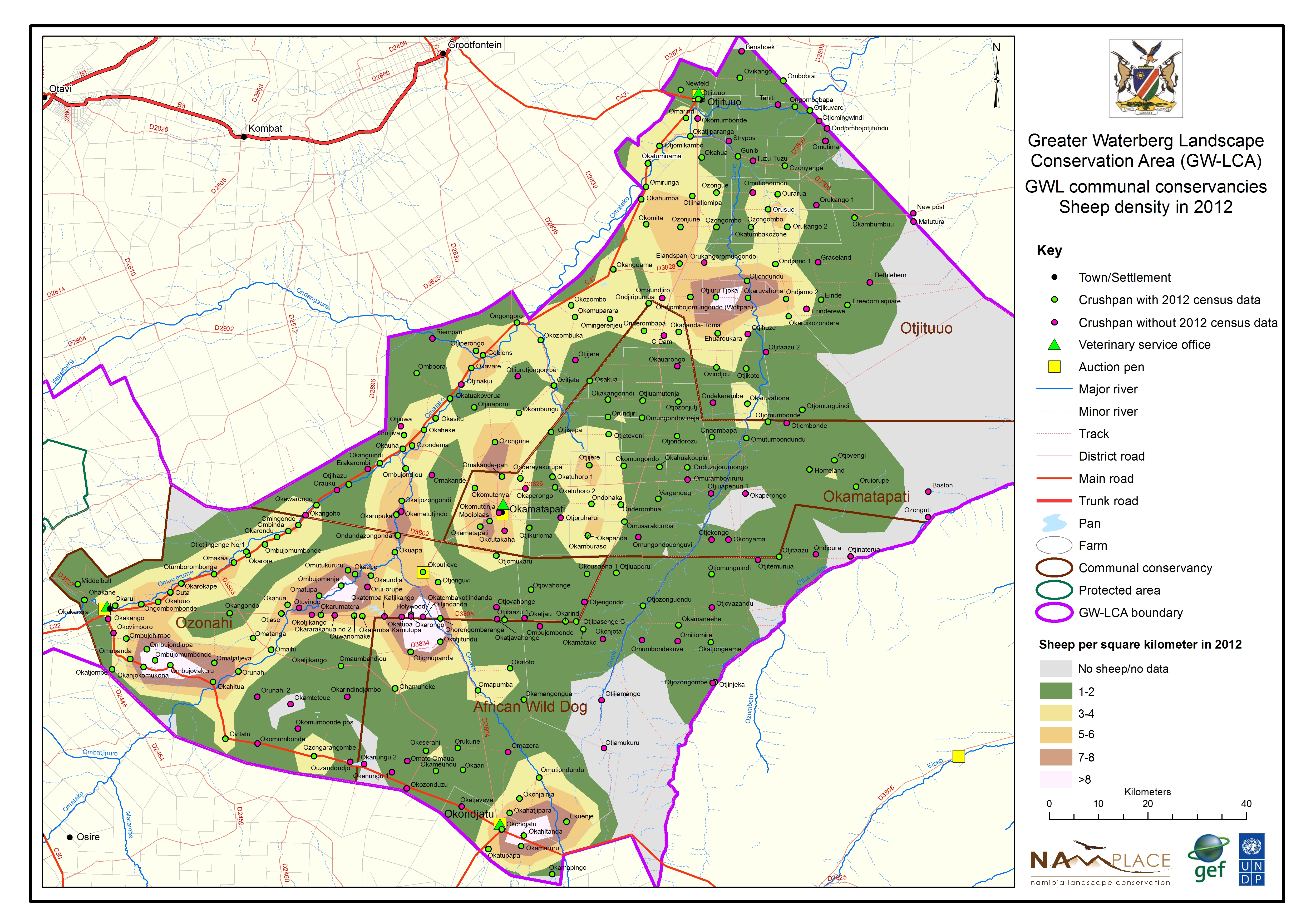
Member Communal sheep 2012
» jpg

Member Communal LLU 2001
» jpg
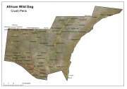
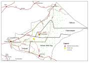
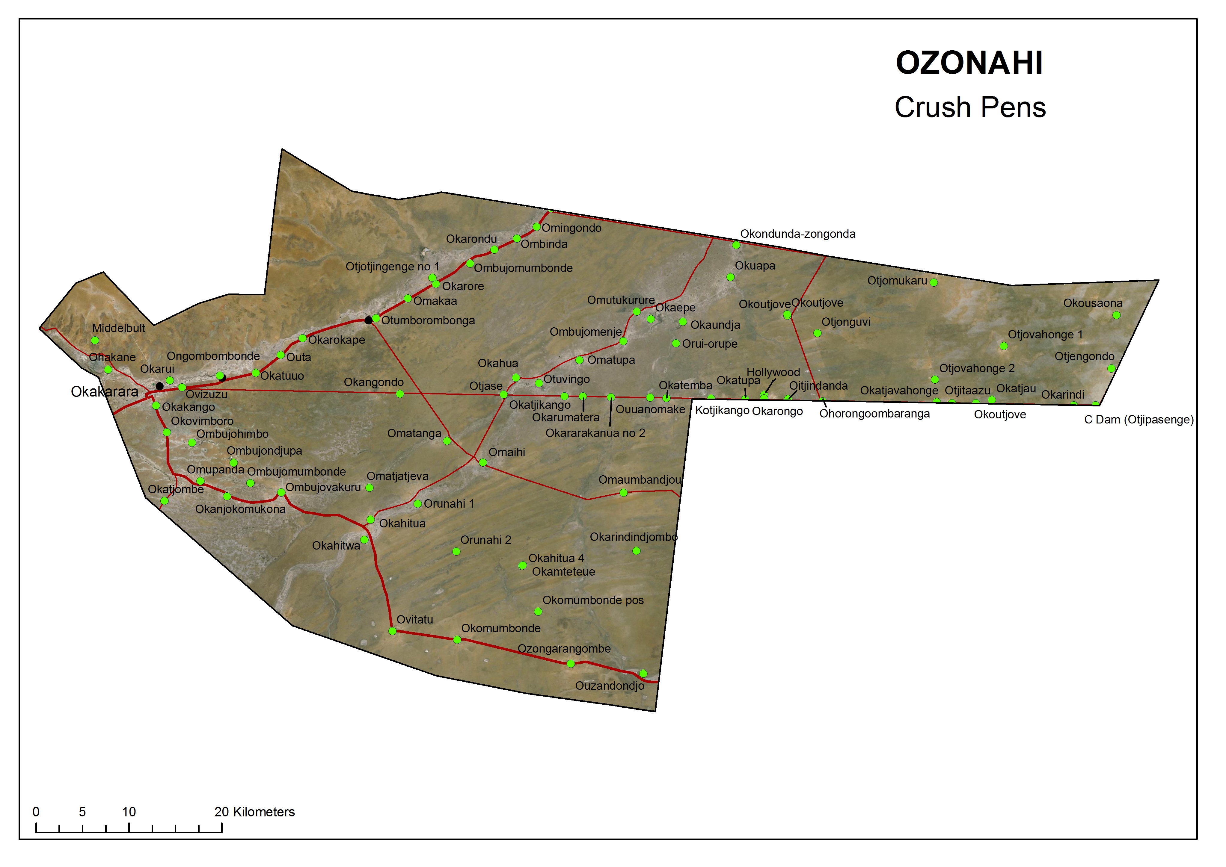
African Wild Dog crush pens
» jpg
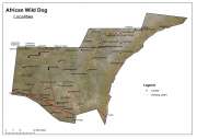
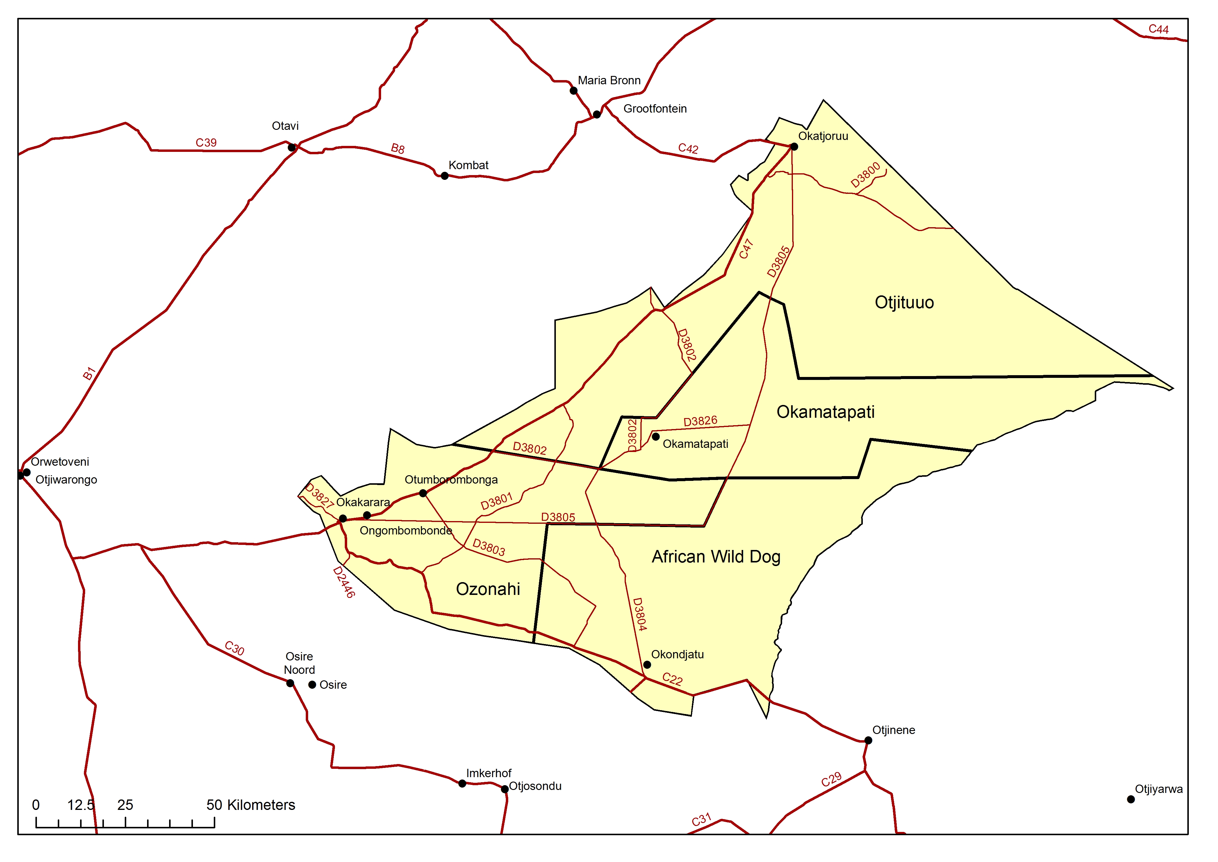
African Wild Dog locations
» jpg
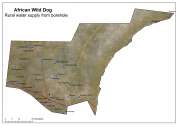
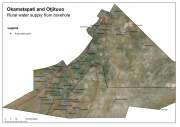
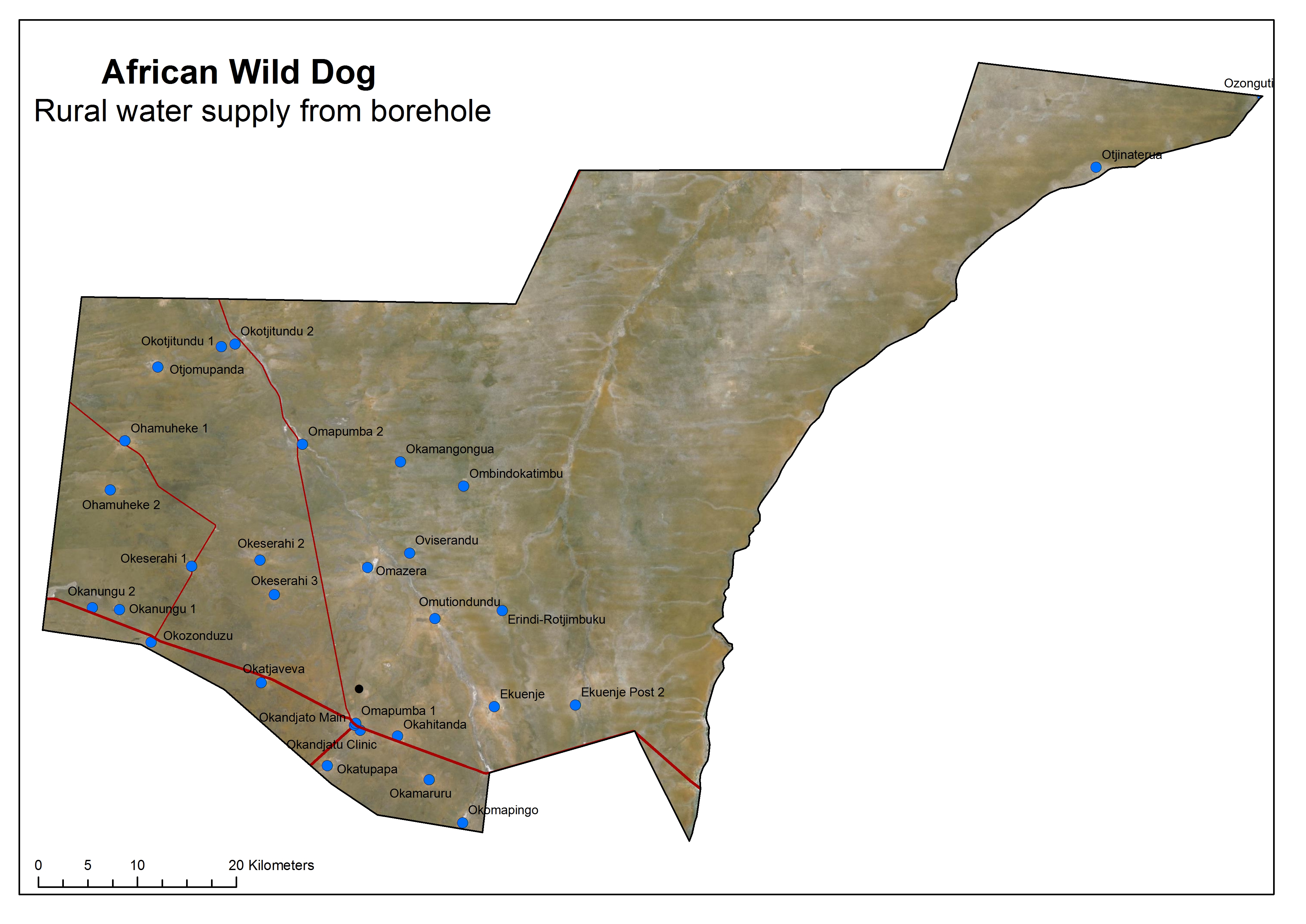
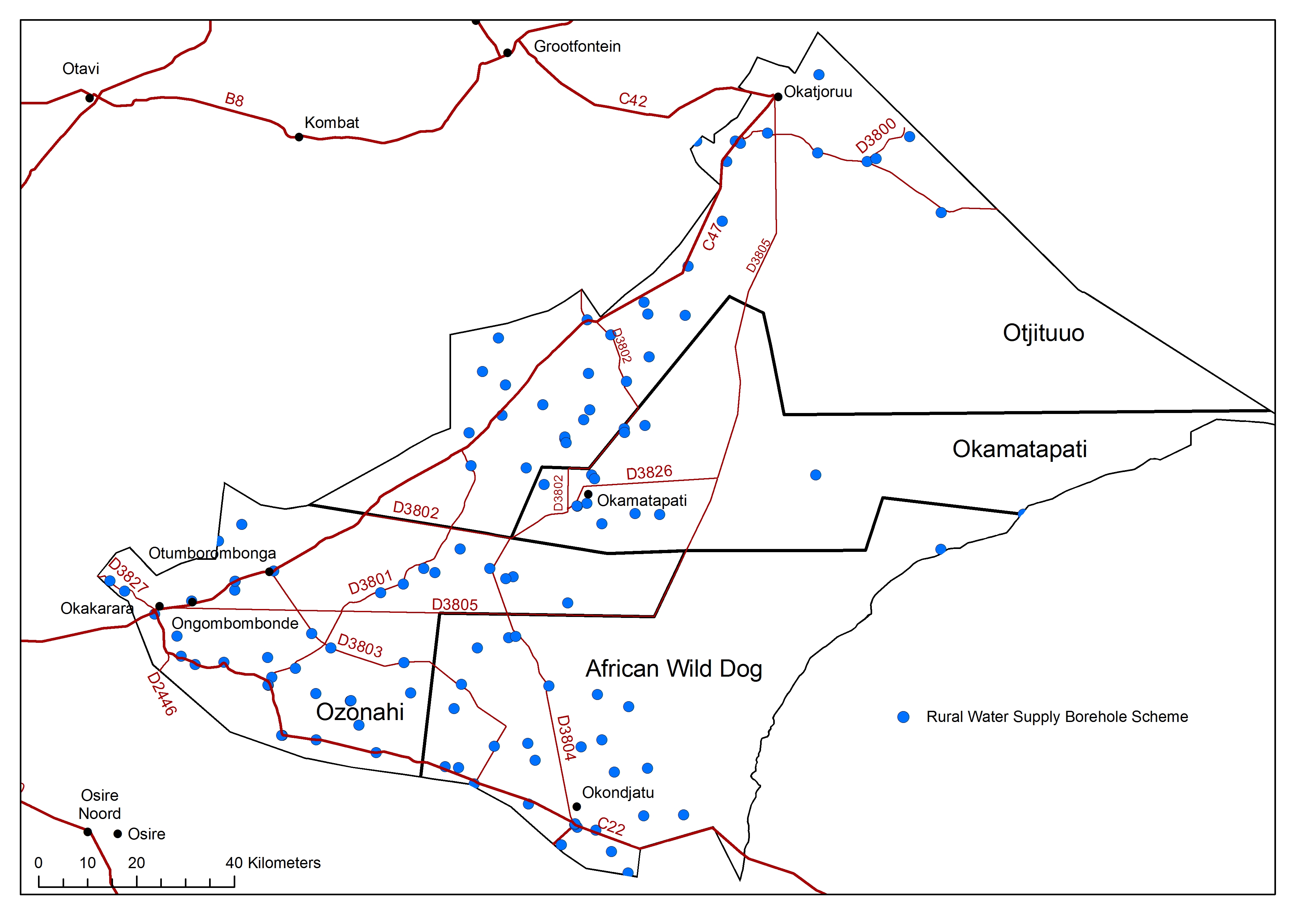
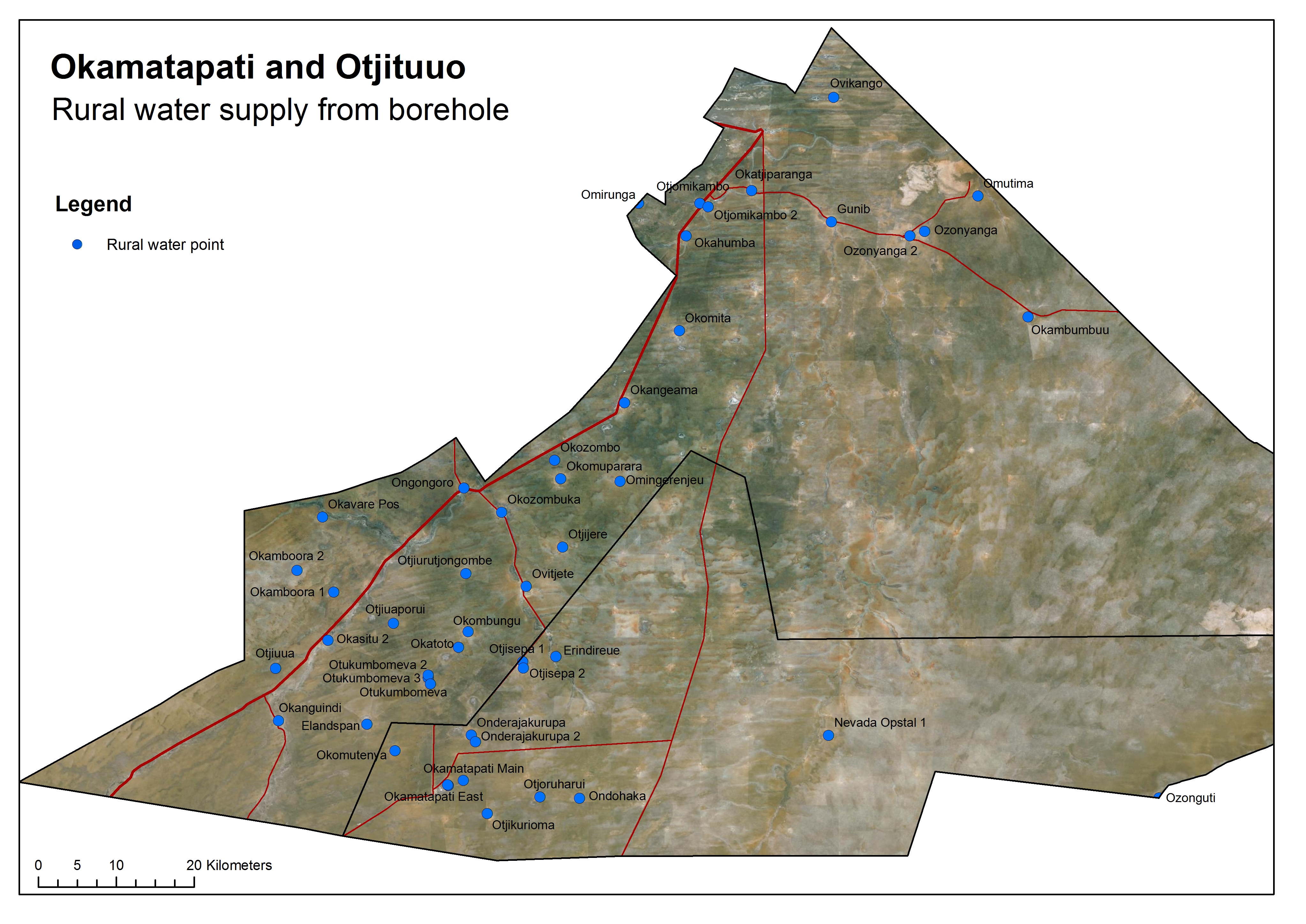
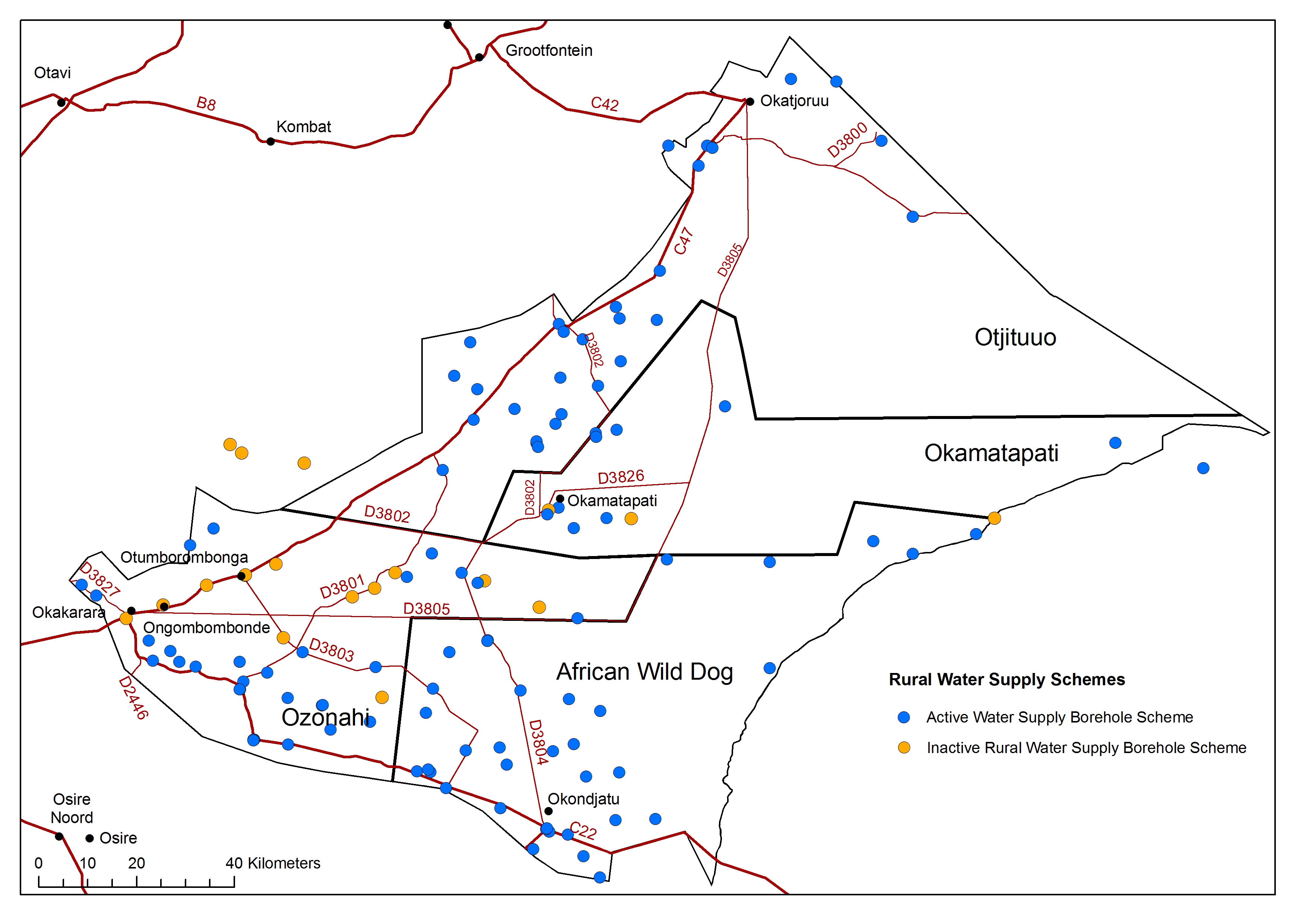
African Wild Dog rural water supply
» jpg
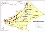
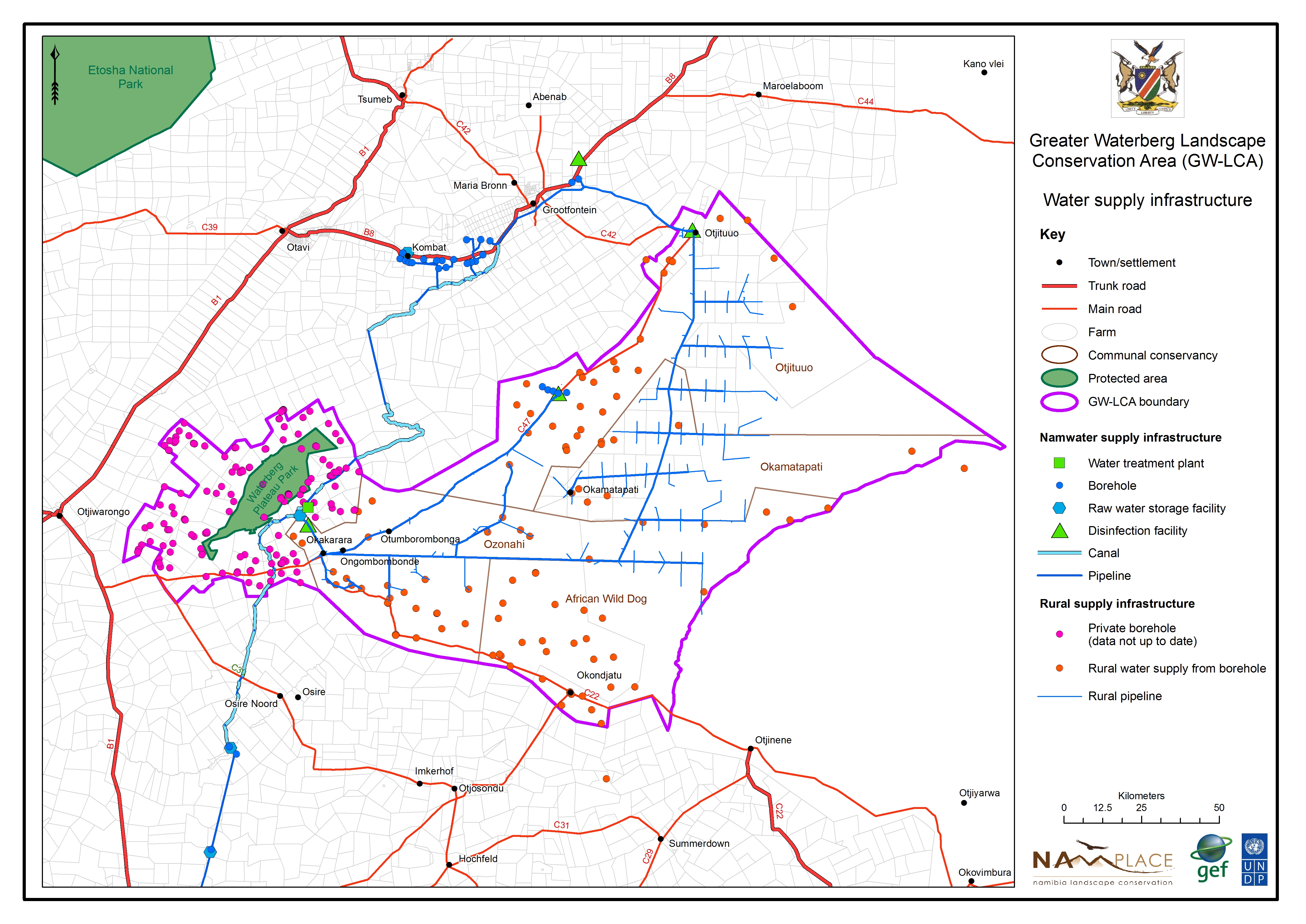
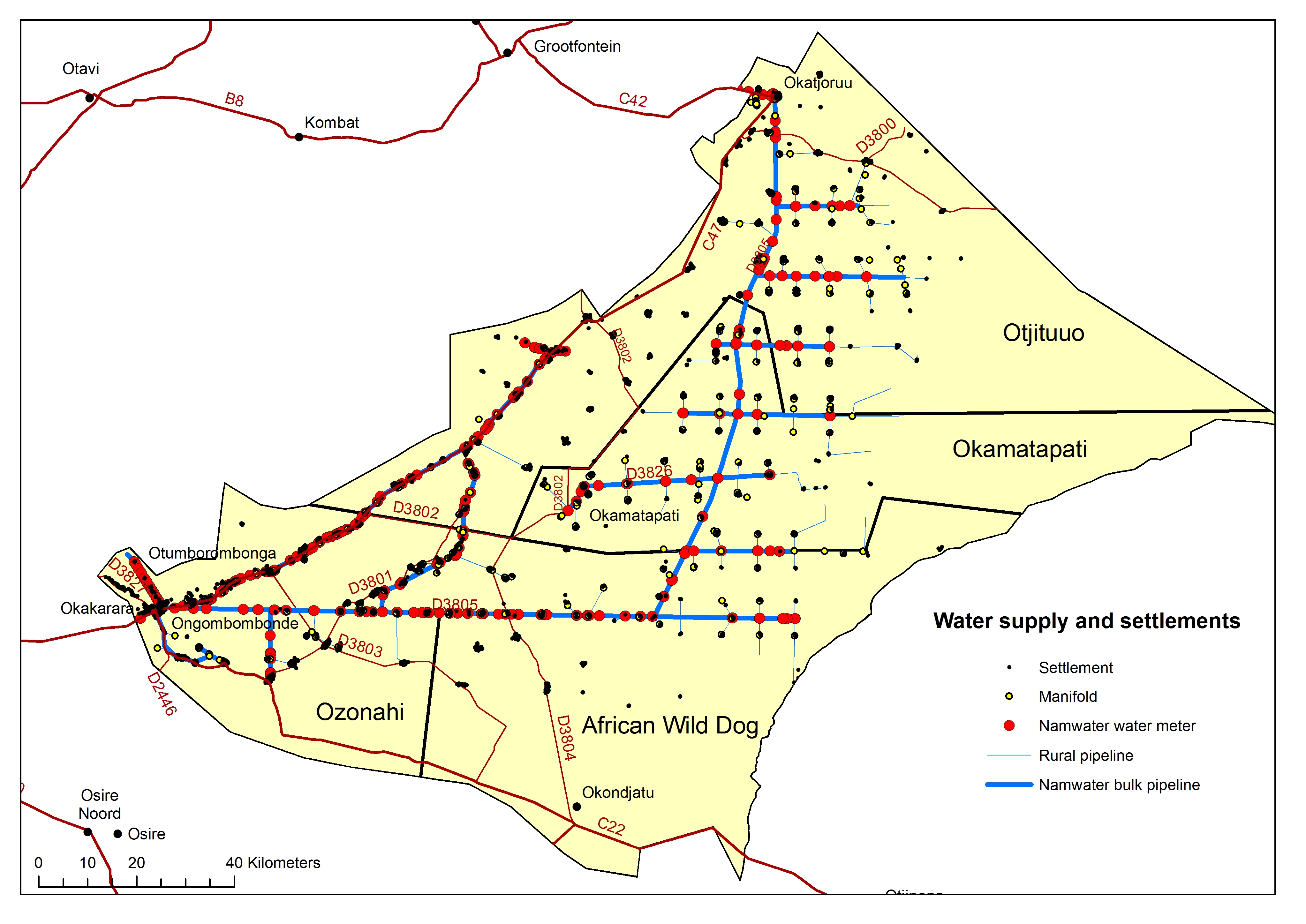
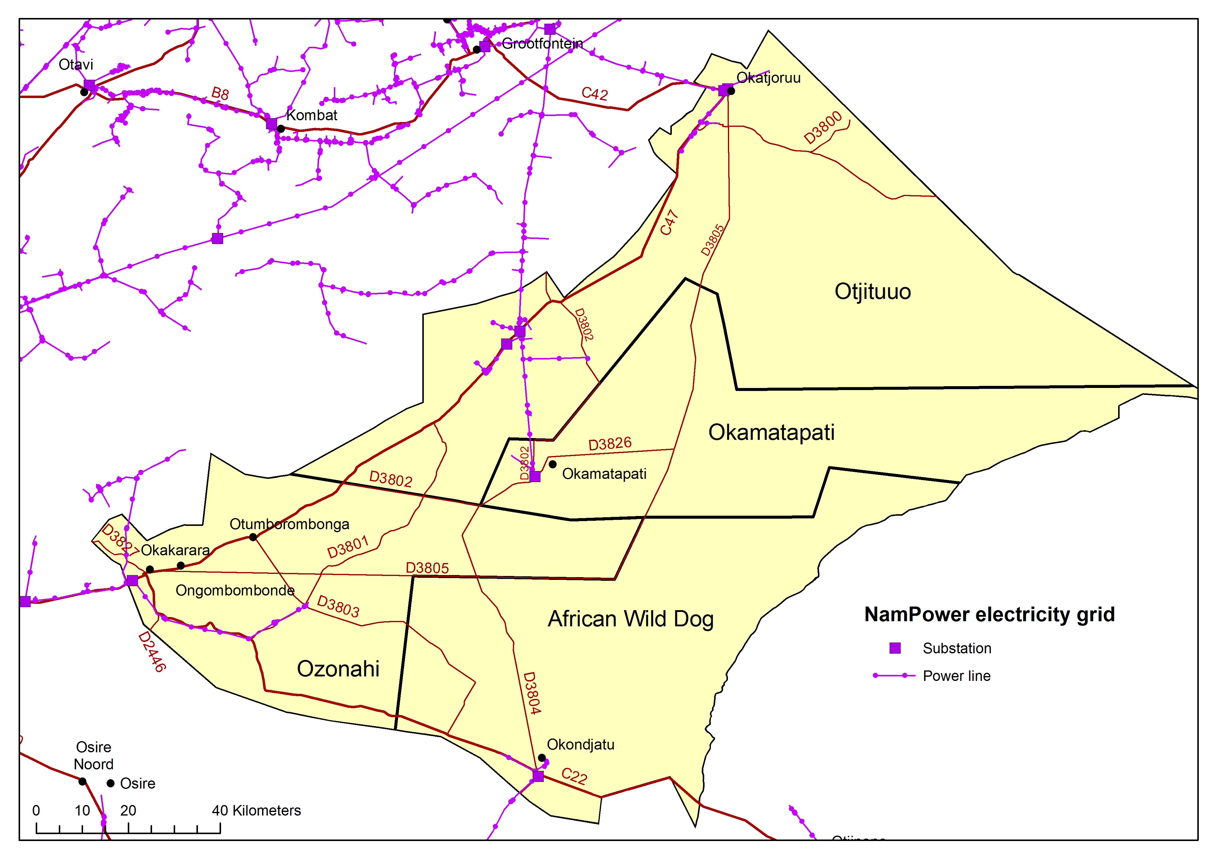
All bulk water supply and settlements
» jpg

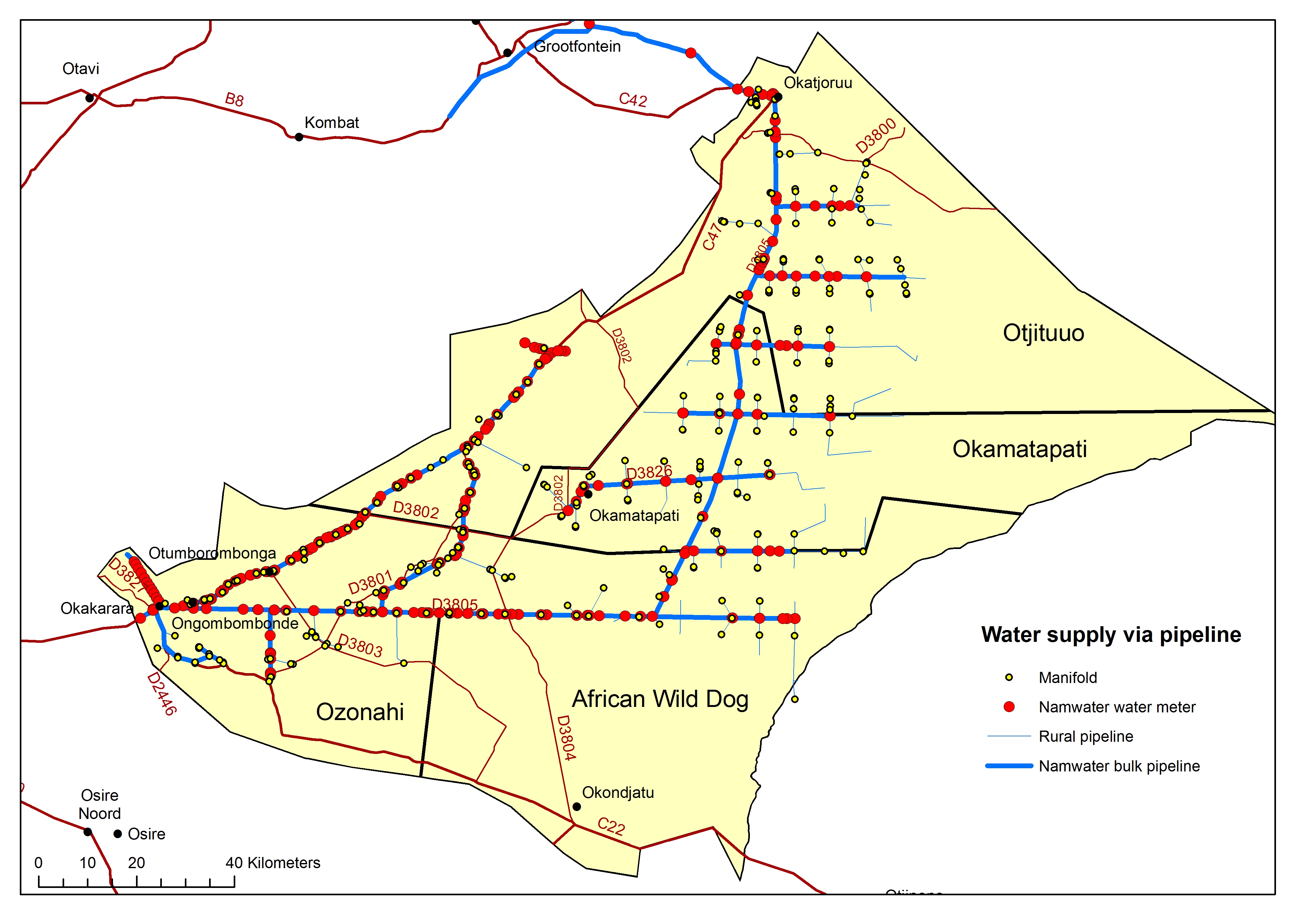
All bulk water supply
» jpg
All carrying capacity
» jpg
All groundwater depth
» jpg
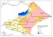
All groundwater potential
» jpg
All groundwater quality
» jpg
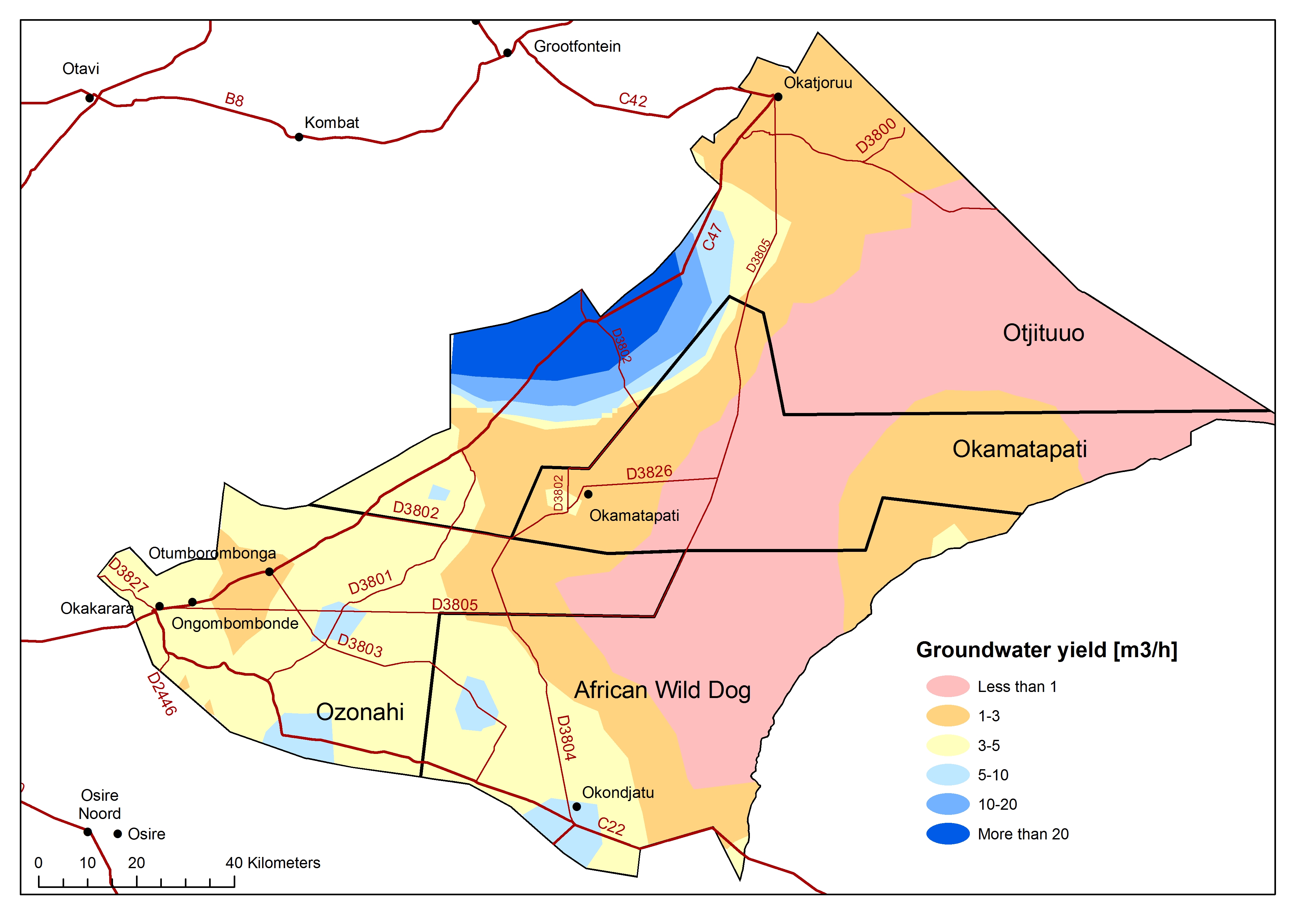
All groundwater yield
» jpg
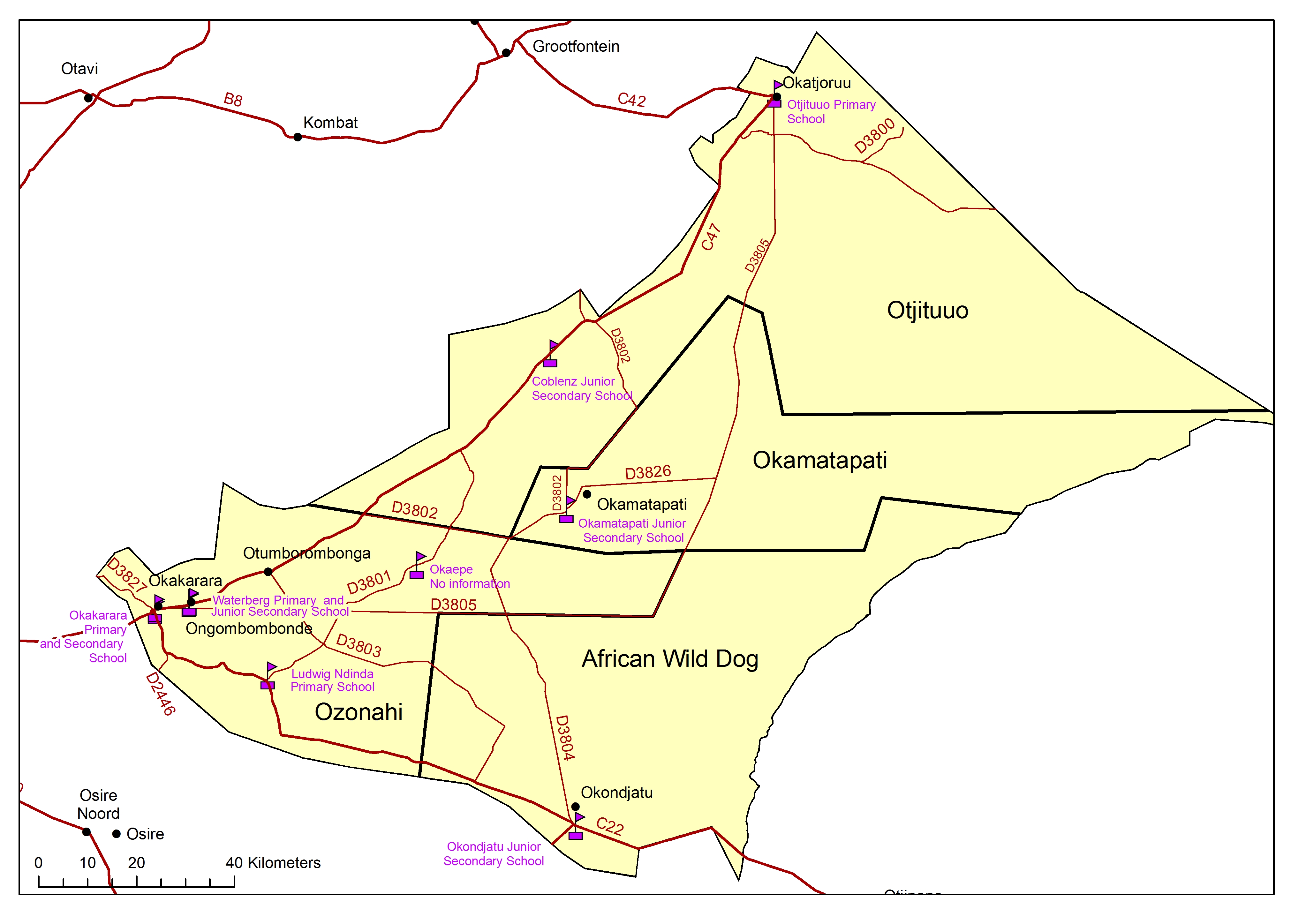
All health facilities
» jpg
All infrastructure farming
» jpg

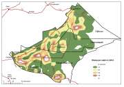
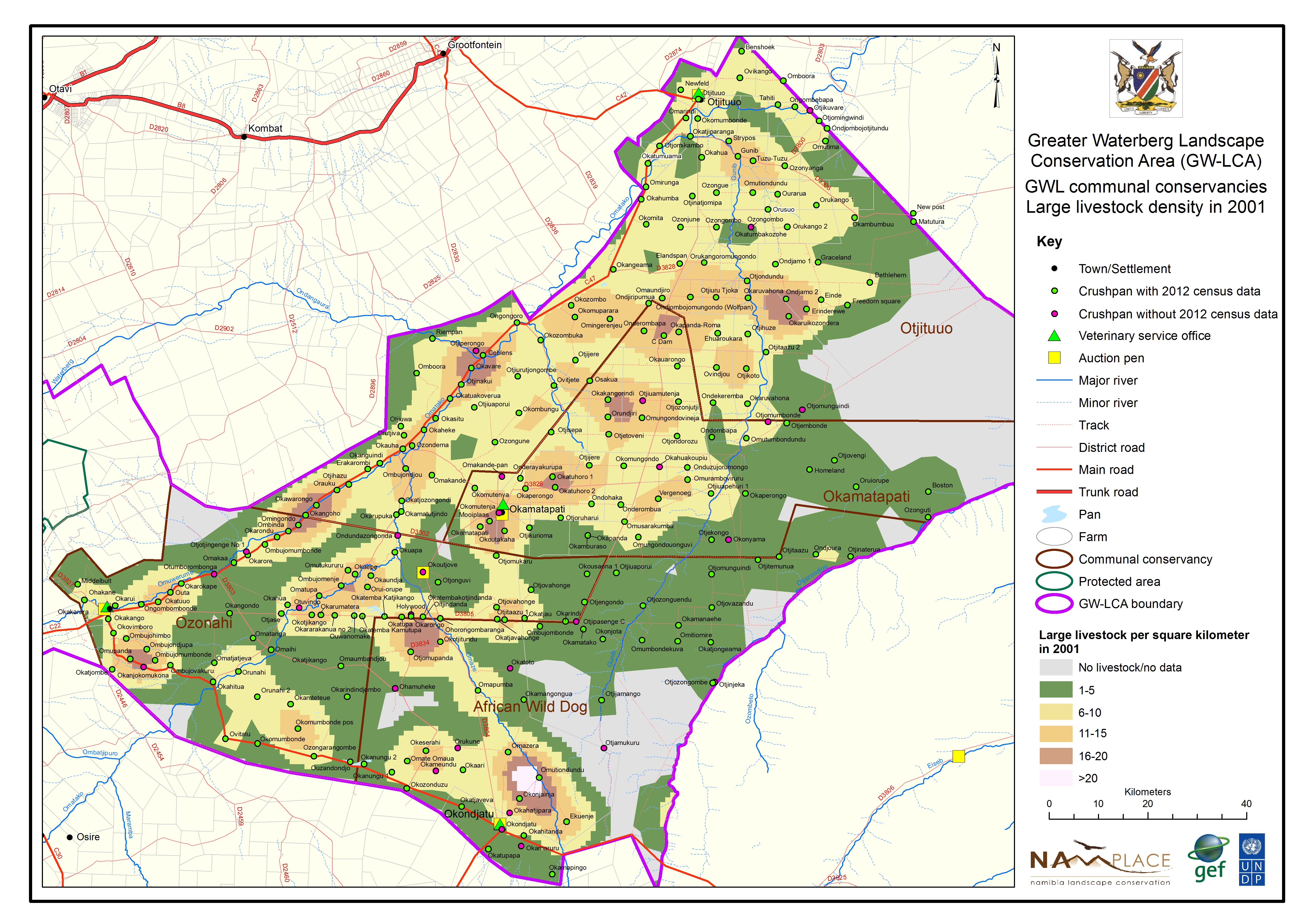
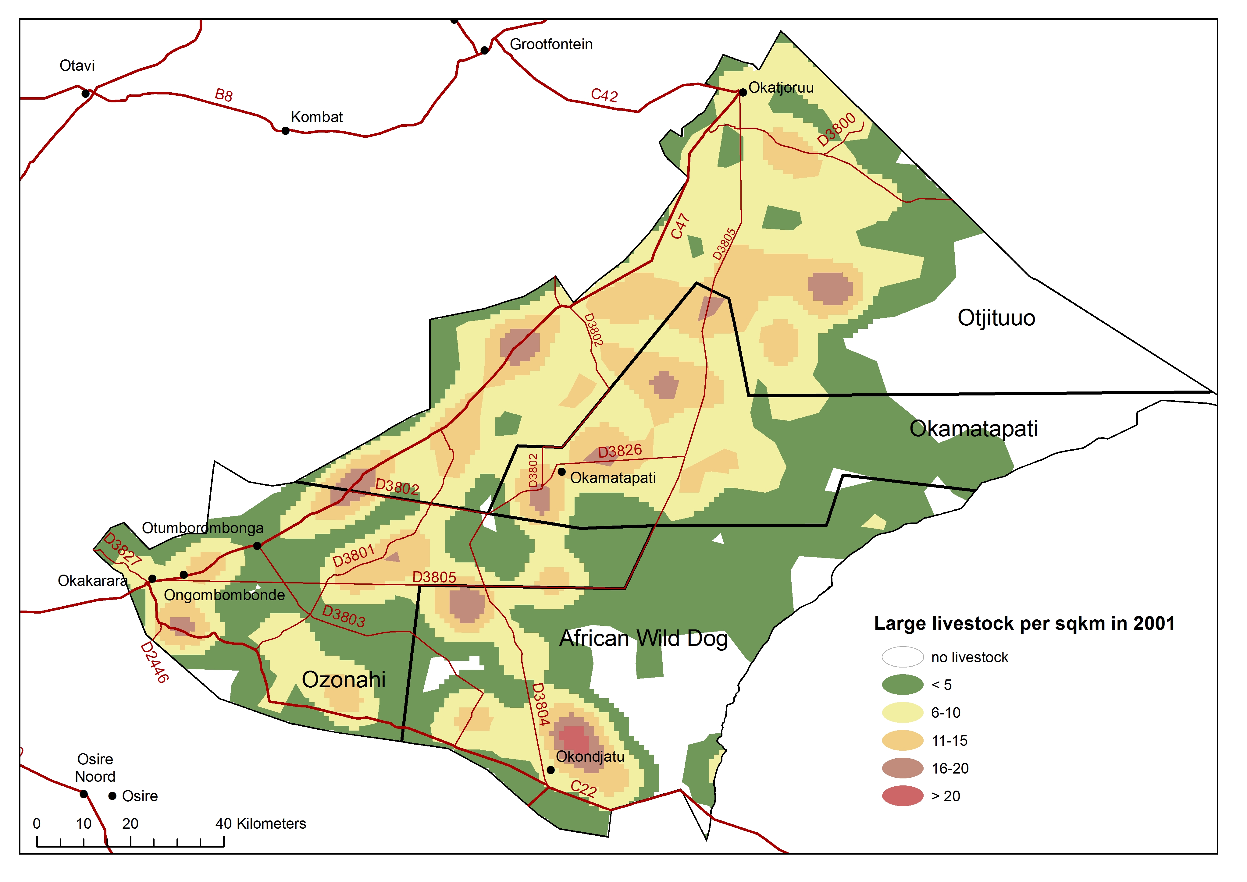
All large livestock density
» jpg
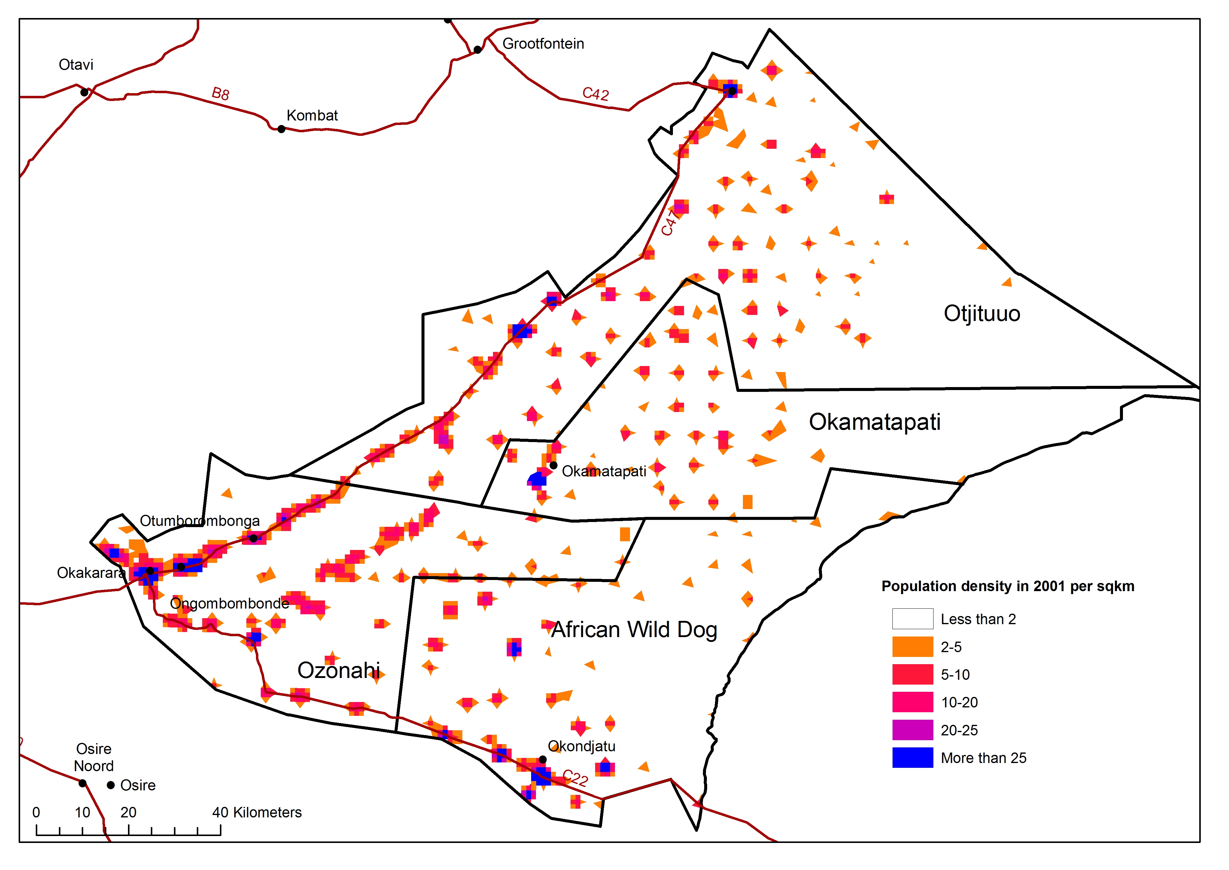
All population density 2001
» jpg
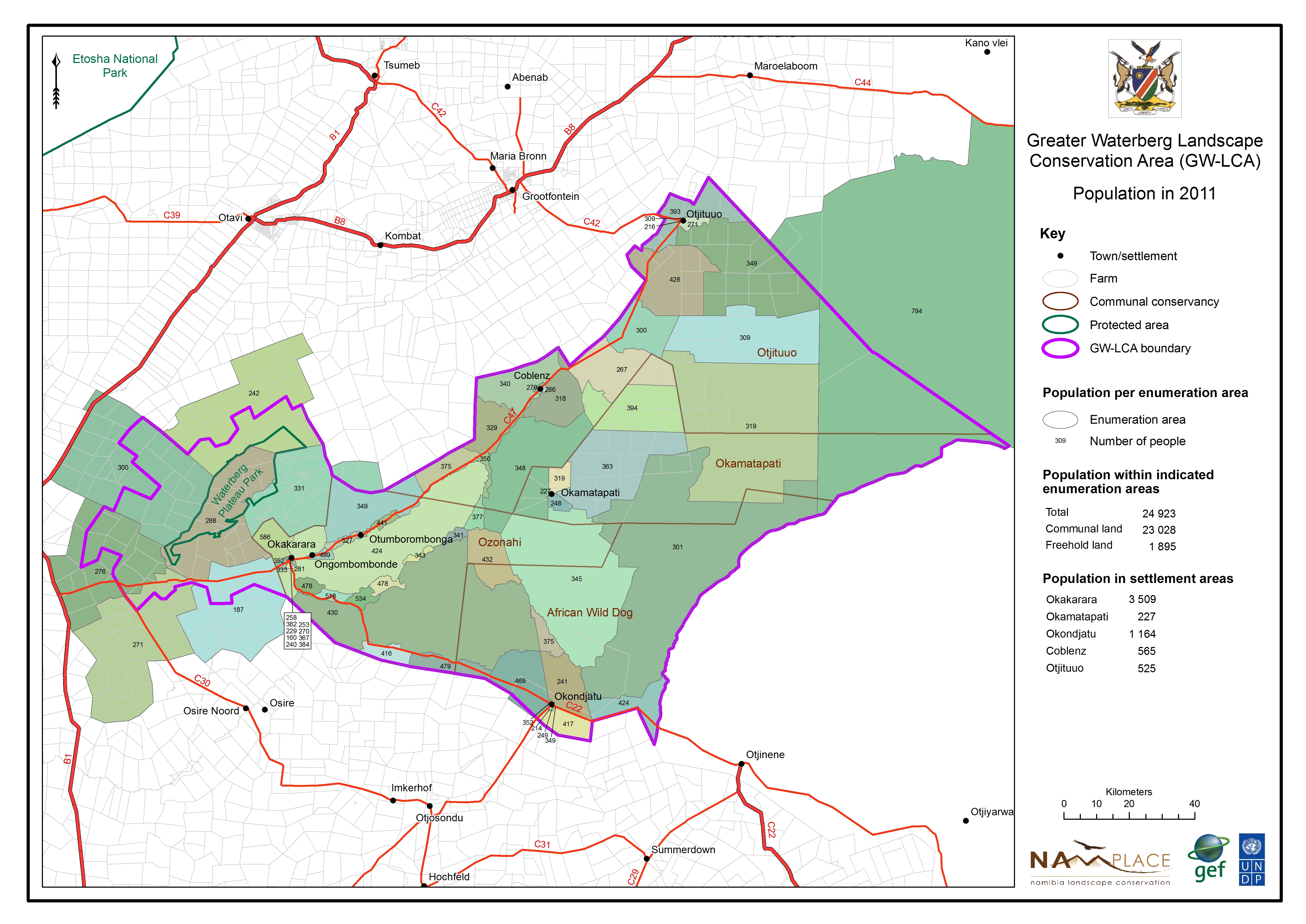
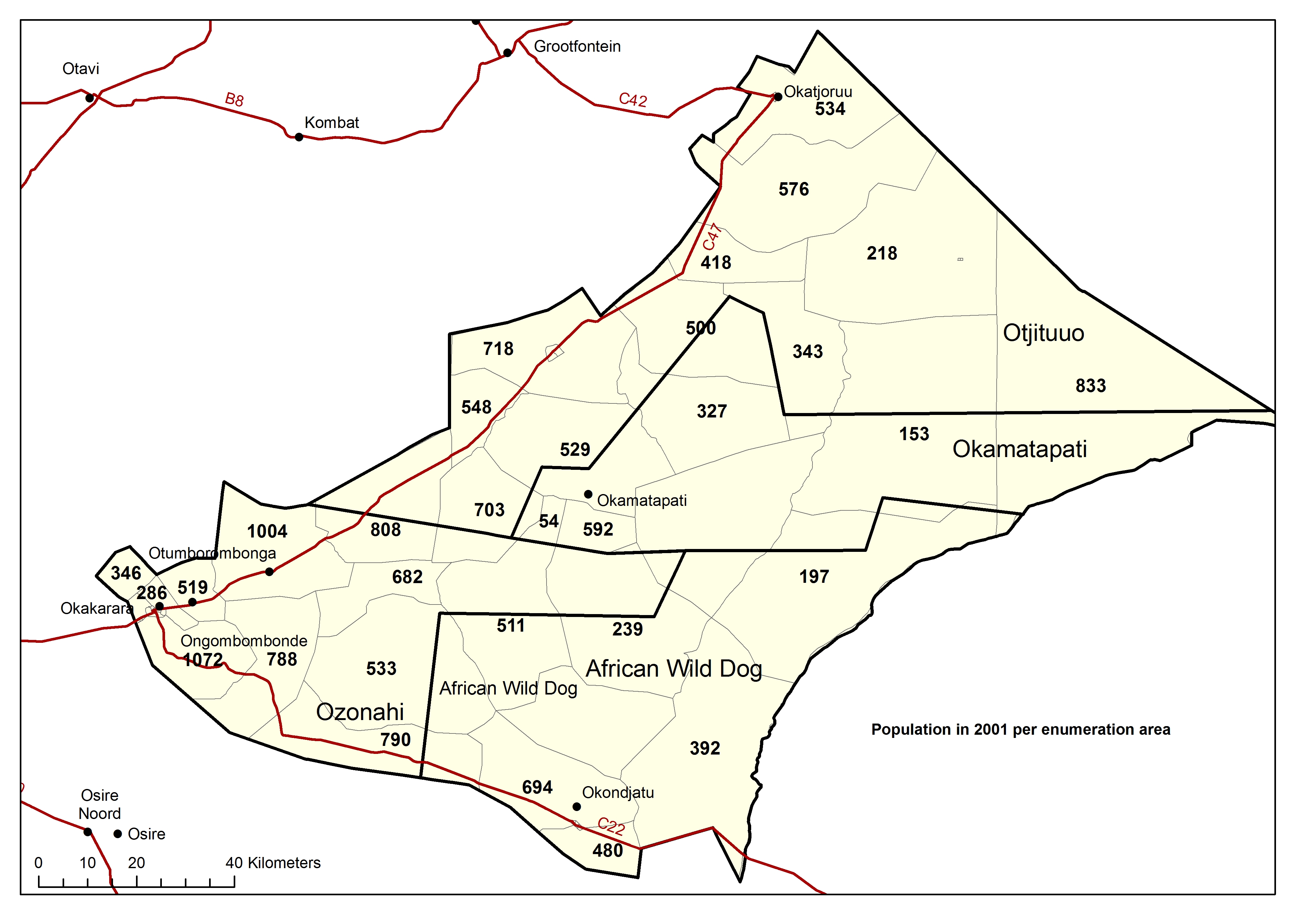
All population 2001
» jpg
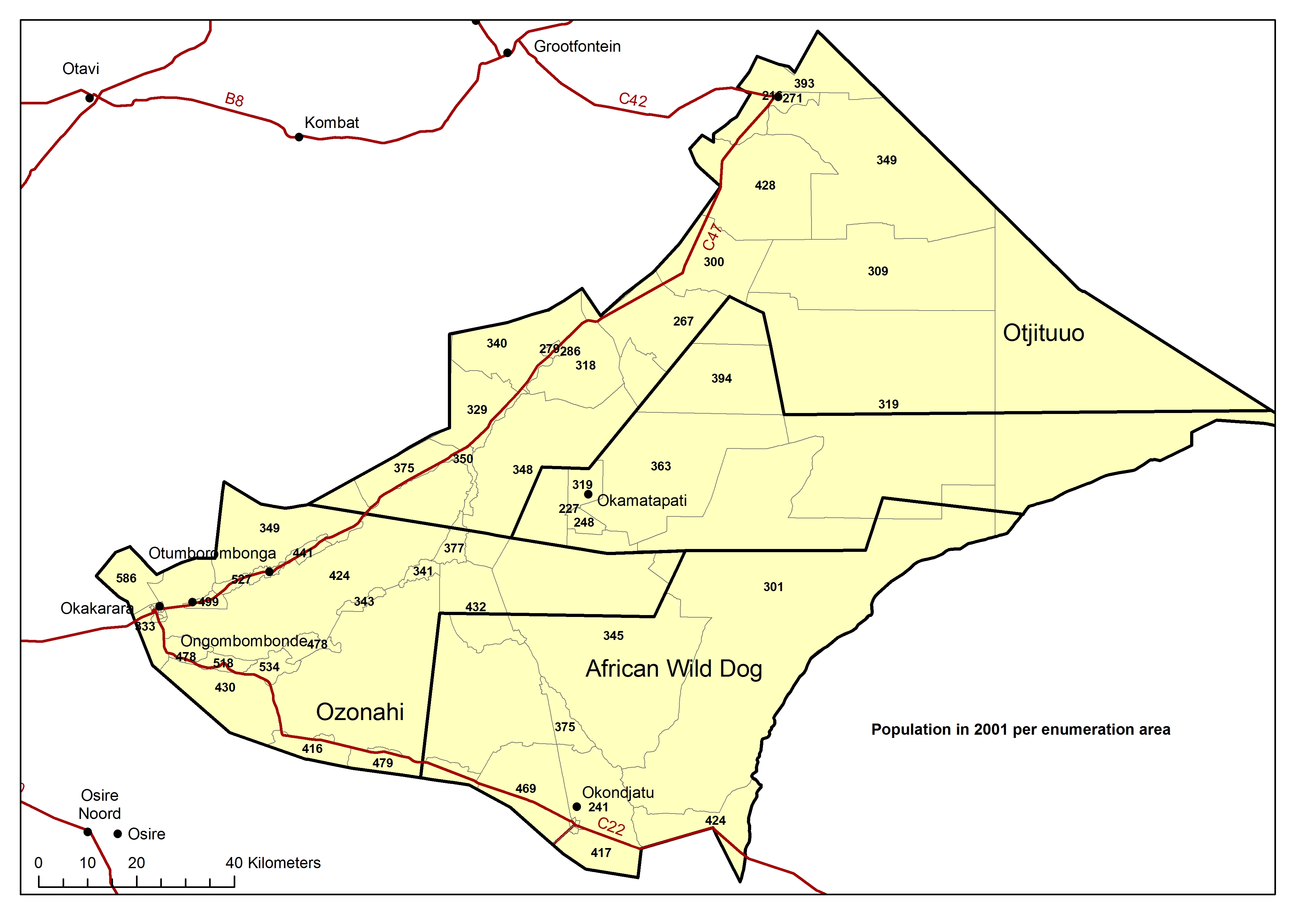
All population 2011
» jpg
All proclaimed roads
» jpg
All rural watersupply
» jpg
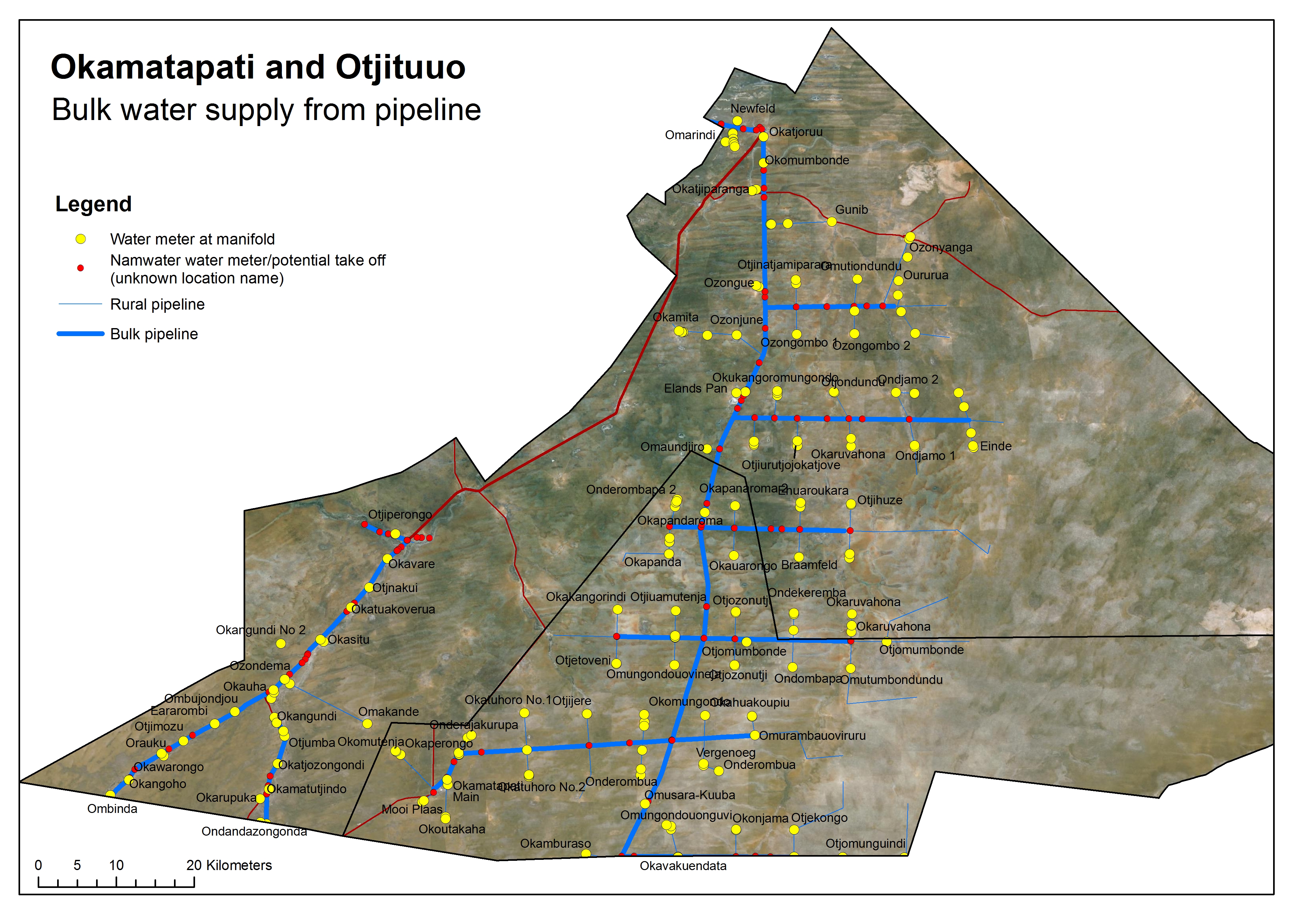
Okamatapati bulk water supply
» jpg
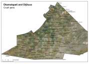
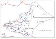
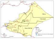
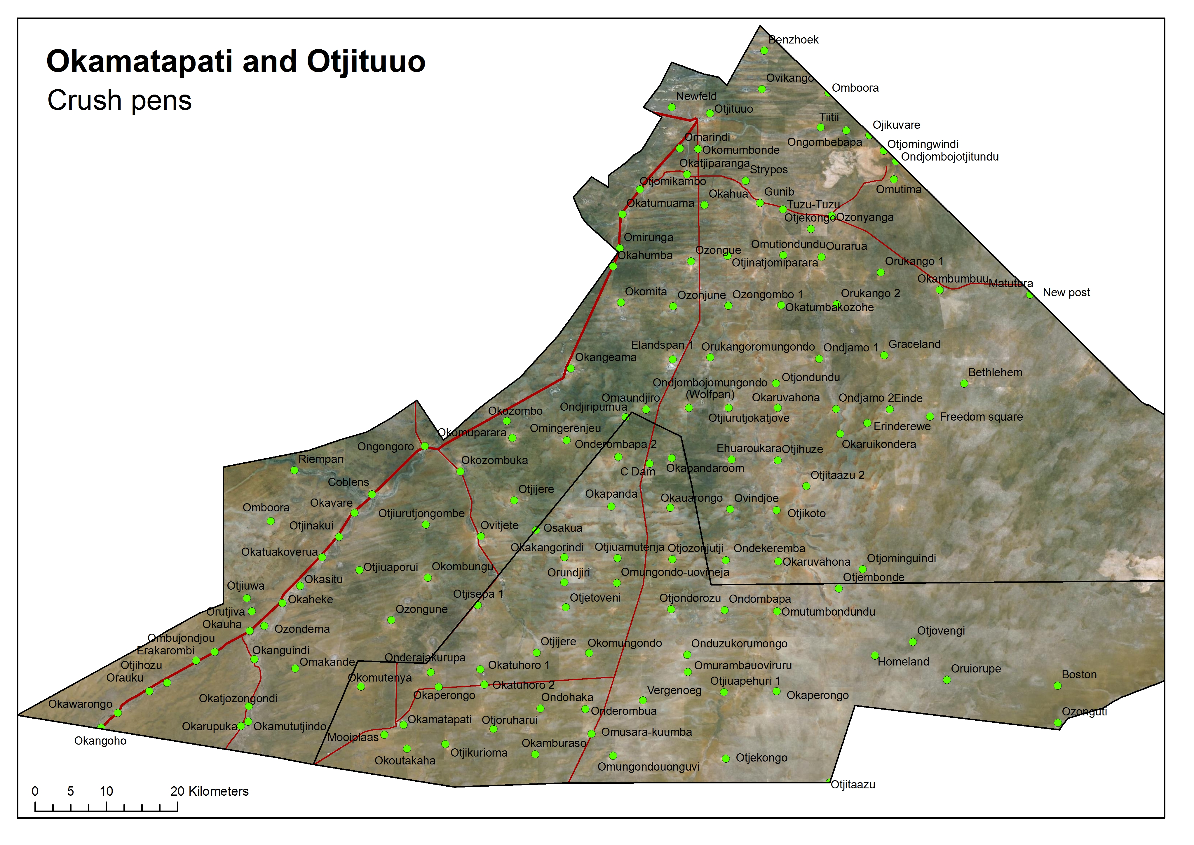
Okamatapati Otjituuo crush pens
» jpg
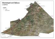
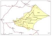
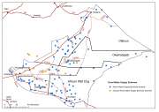
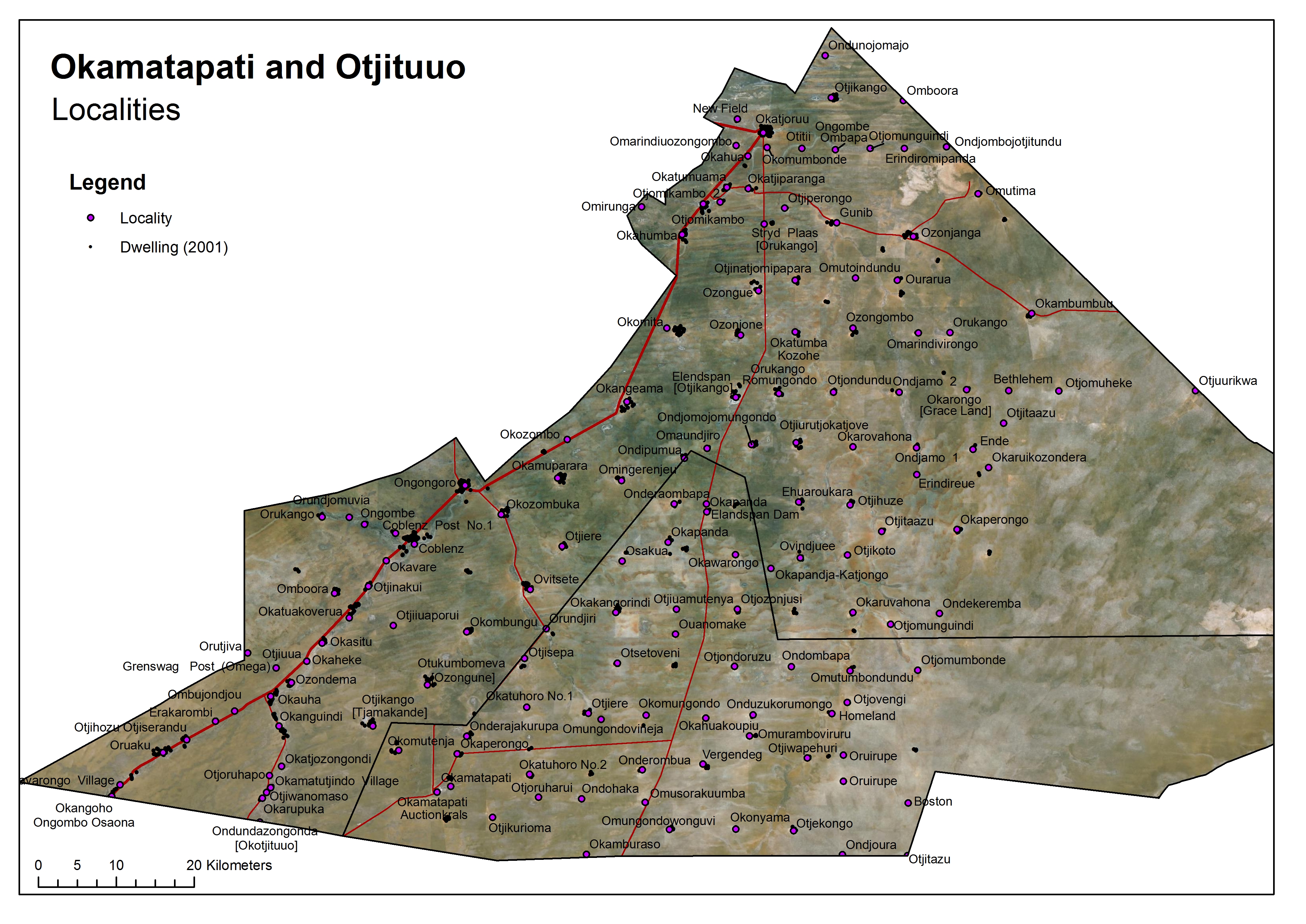
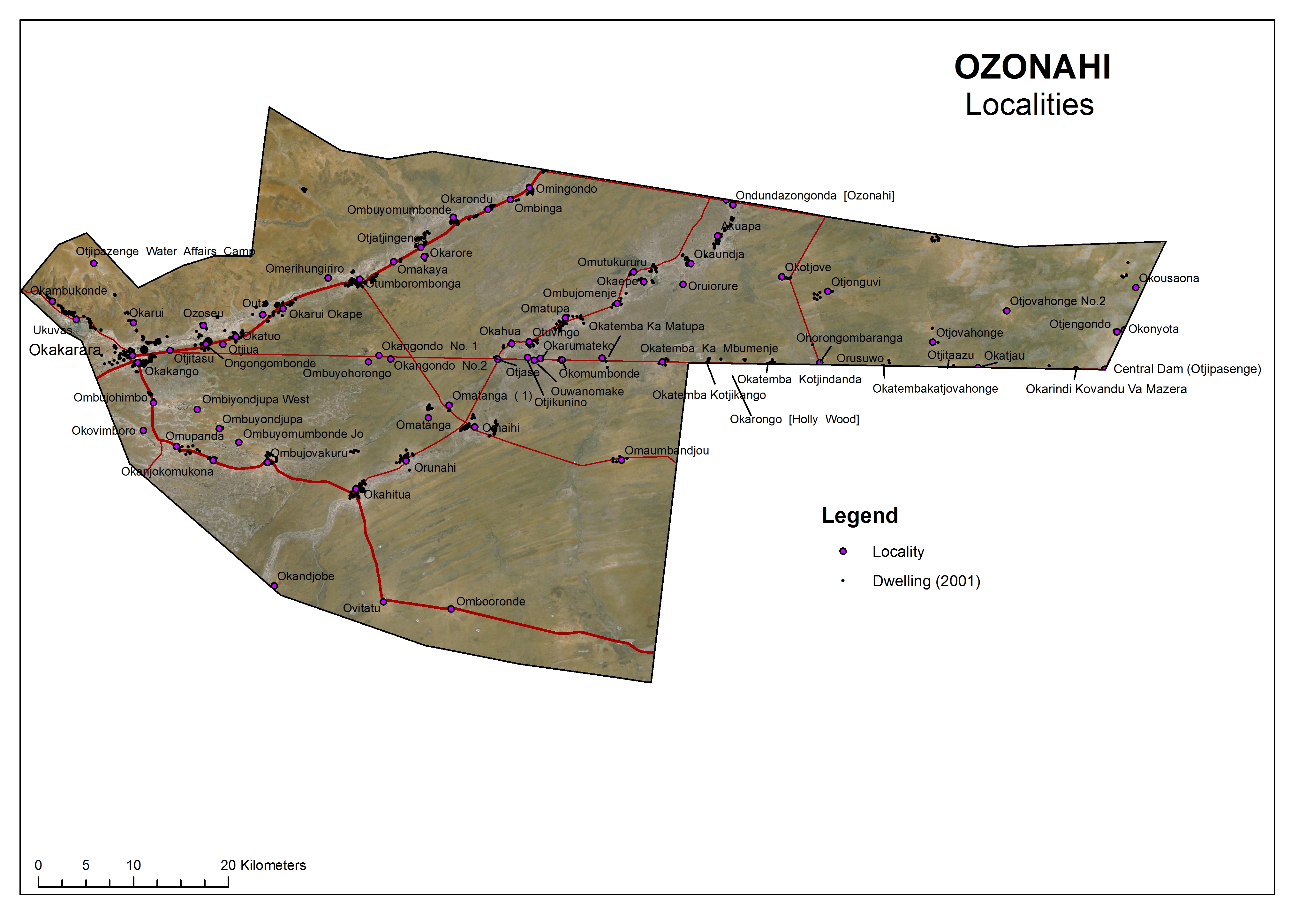
Okamatapati Otjituuo locations
» jpg
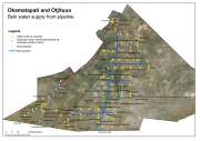
Okamatapati Otjituuo water supply
» jpg
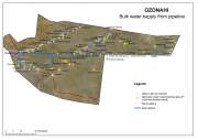
Ozonahi bulk water supply
» jpg

Ozonahi rural water supply
» jpg

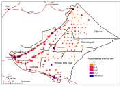
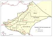
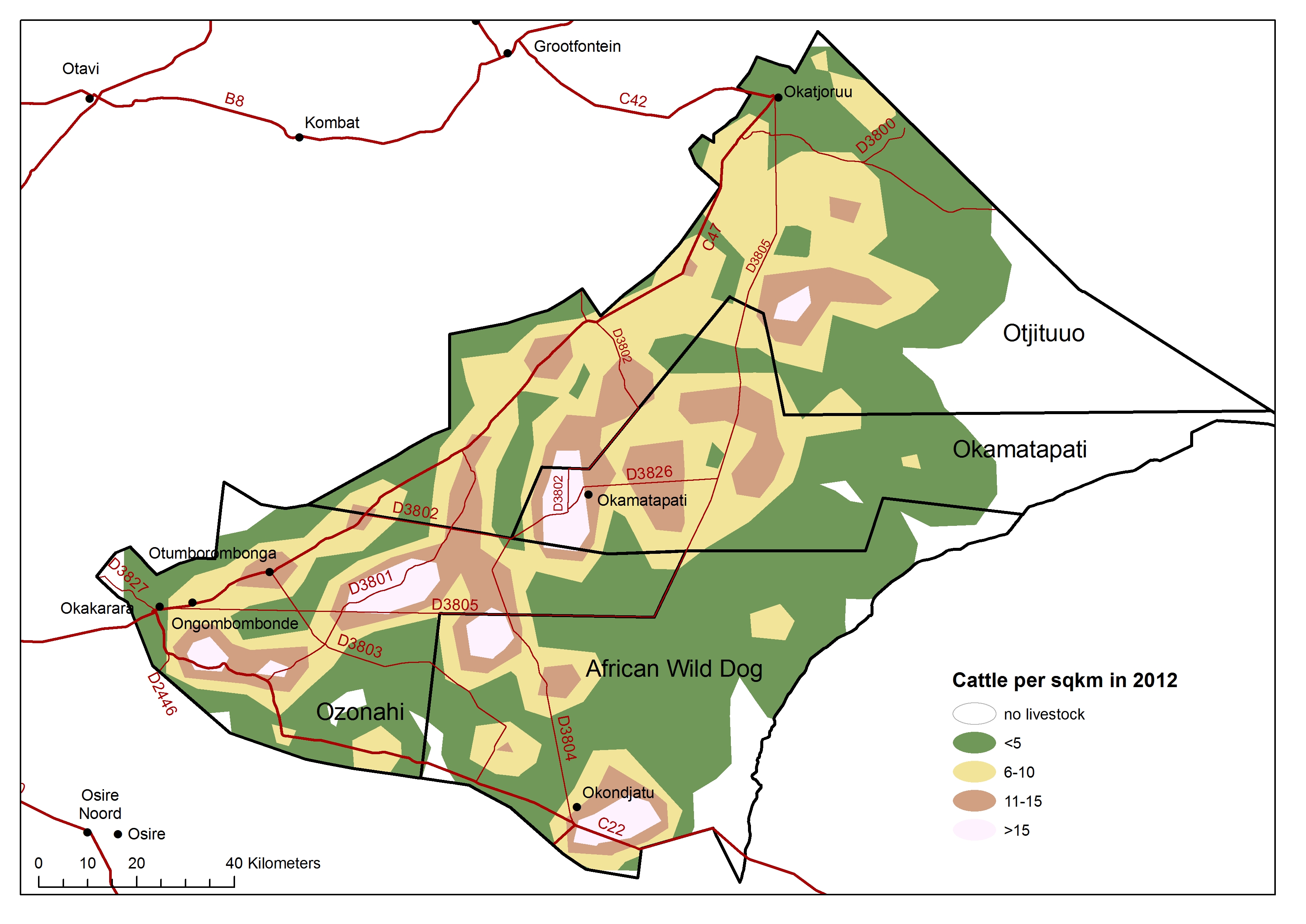
Waterberg cattle density 2012
» jpg
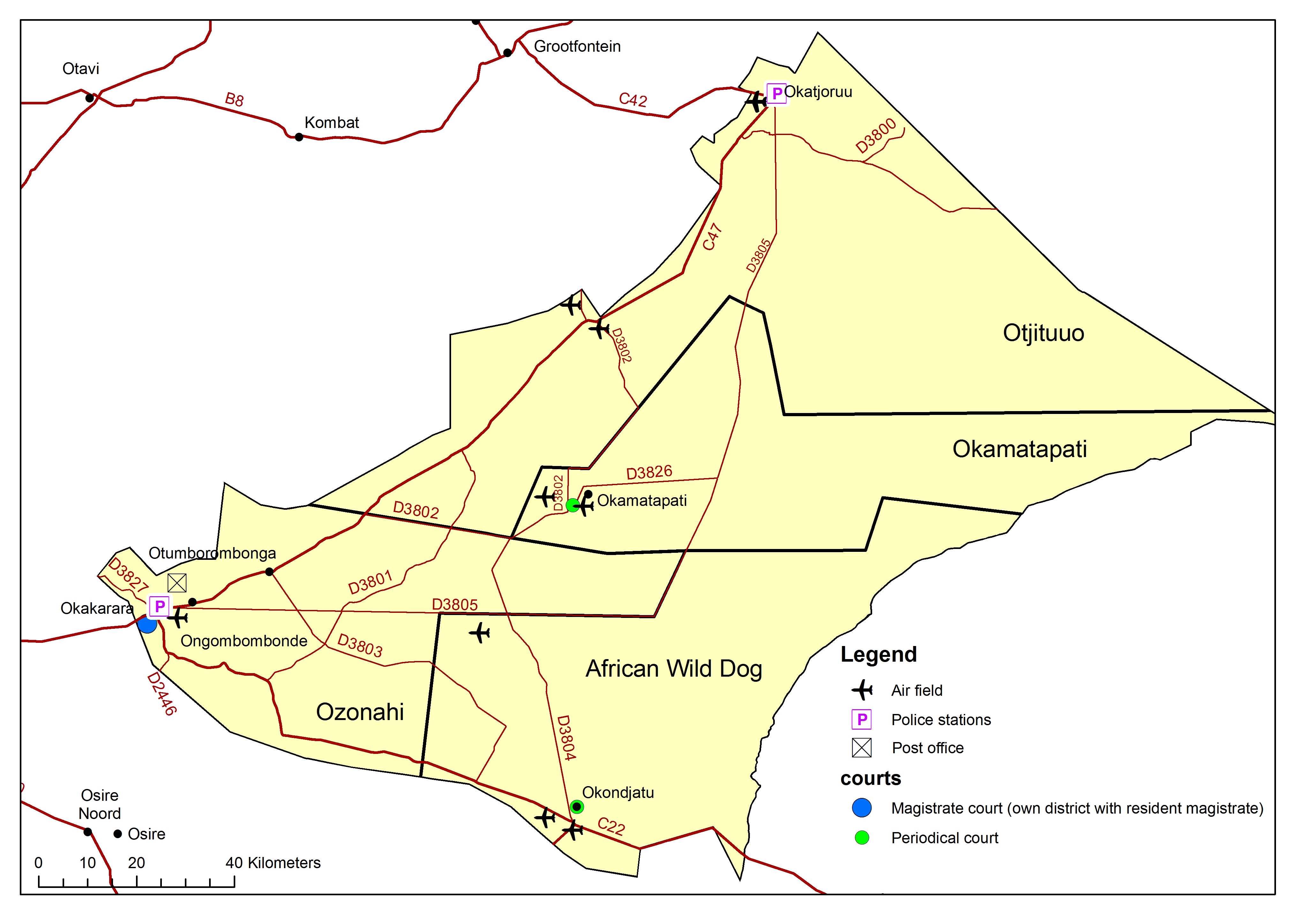
Waterberg other infrastructure
» jpg
Waterberg population dwellings
» jpg

Waterberg population
» jpg
Waterberg rural water
» jpg
Waterberg sheep density 2012
» jpg
These zip files usually contain shapefiles or grid files; some are images. Metadata are provided in this metadata file.


")